Storm Chase Details
Miles Logged: 404
States Chased: OK
Tornadoes Witnessed: 2
Largest Hail Encountered: 2.25 in.


Highest Wind Encountered: 100 MPH
Spotter Network Reports: 2
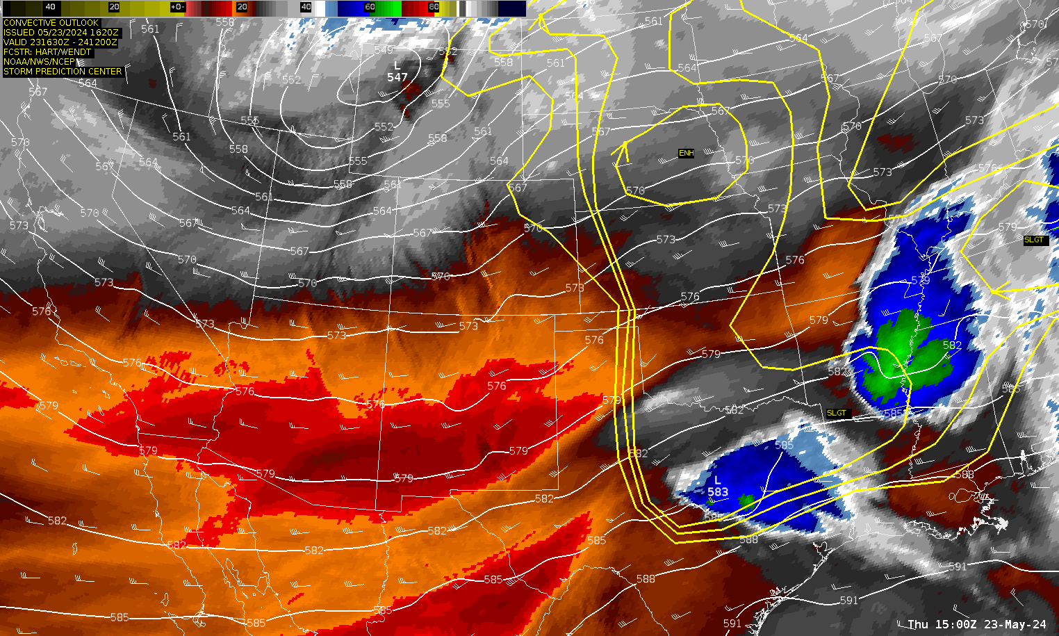
Severe Risks: SPC Outlooks
Severe Reports: Storm Reports
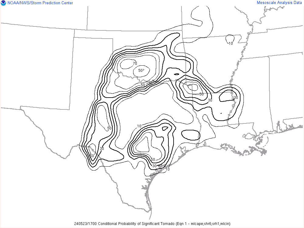
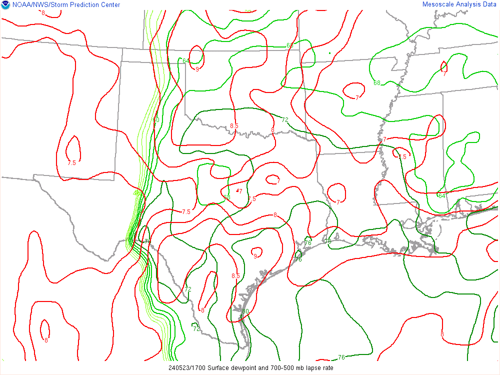
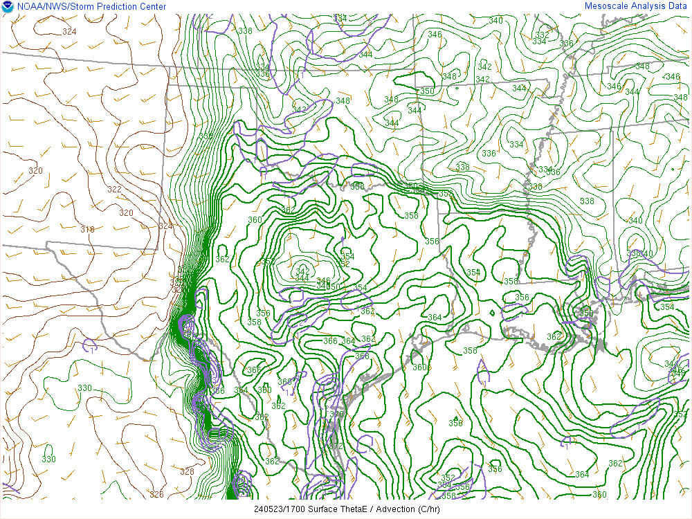
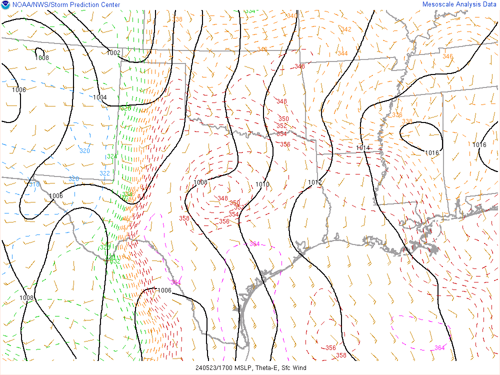
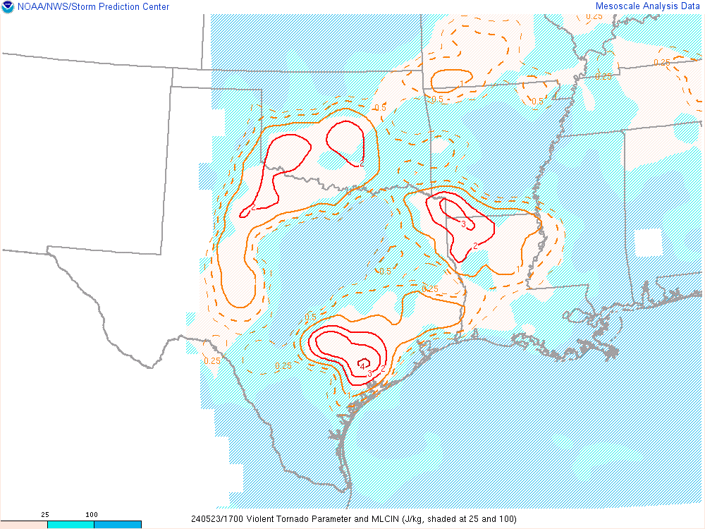
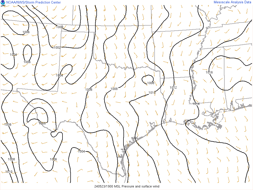
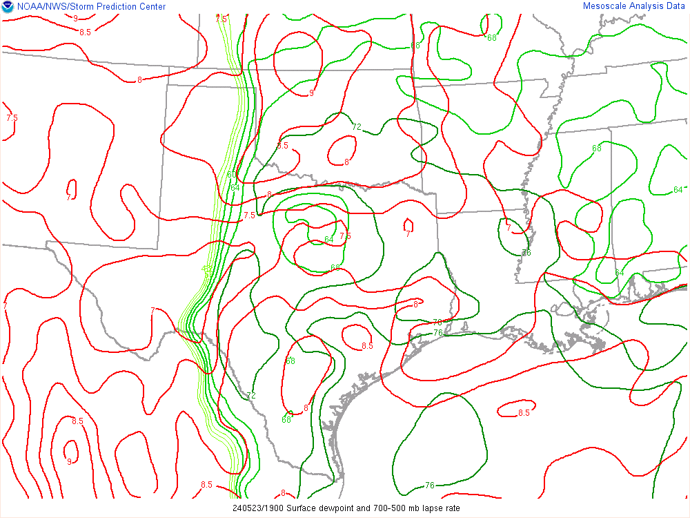
Another 5% day if you believe the SPC. I knew better. We had a good dryline, 70+ degree dewpoints and multiple boundaries in play. This was a day where my surface hand analysis was king. I was clued into the area of higher dewpoints that had snuck into southwestern Oklahoma. With multiple boundaries hanging out, and a bulge in the dryline, it appeared Western North Texas into Southwestern Oklahoma was the place to be.
Forecast
The forecast was generally easy. A storm would either fire along the dryline or not. Any storms firing would have the potential to be severe, with hail favored.
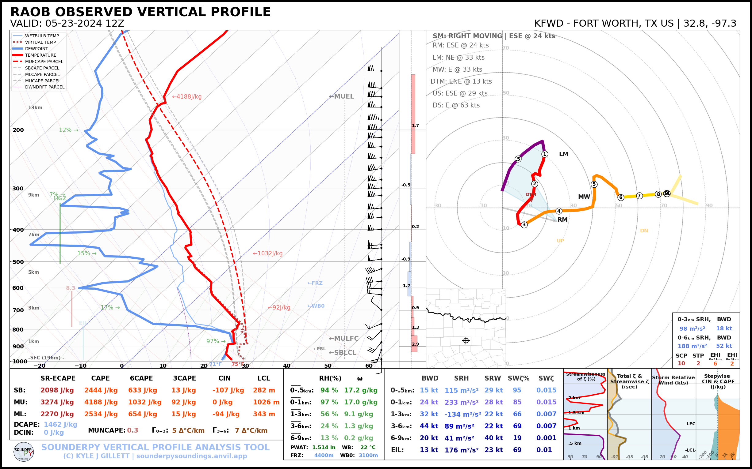
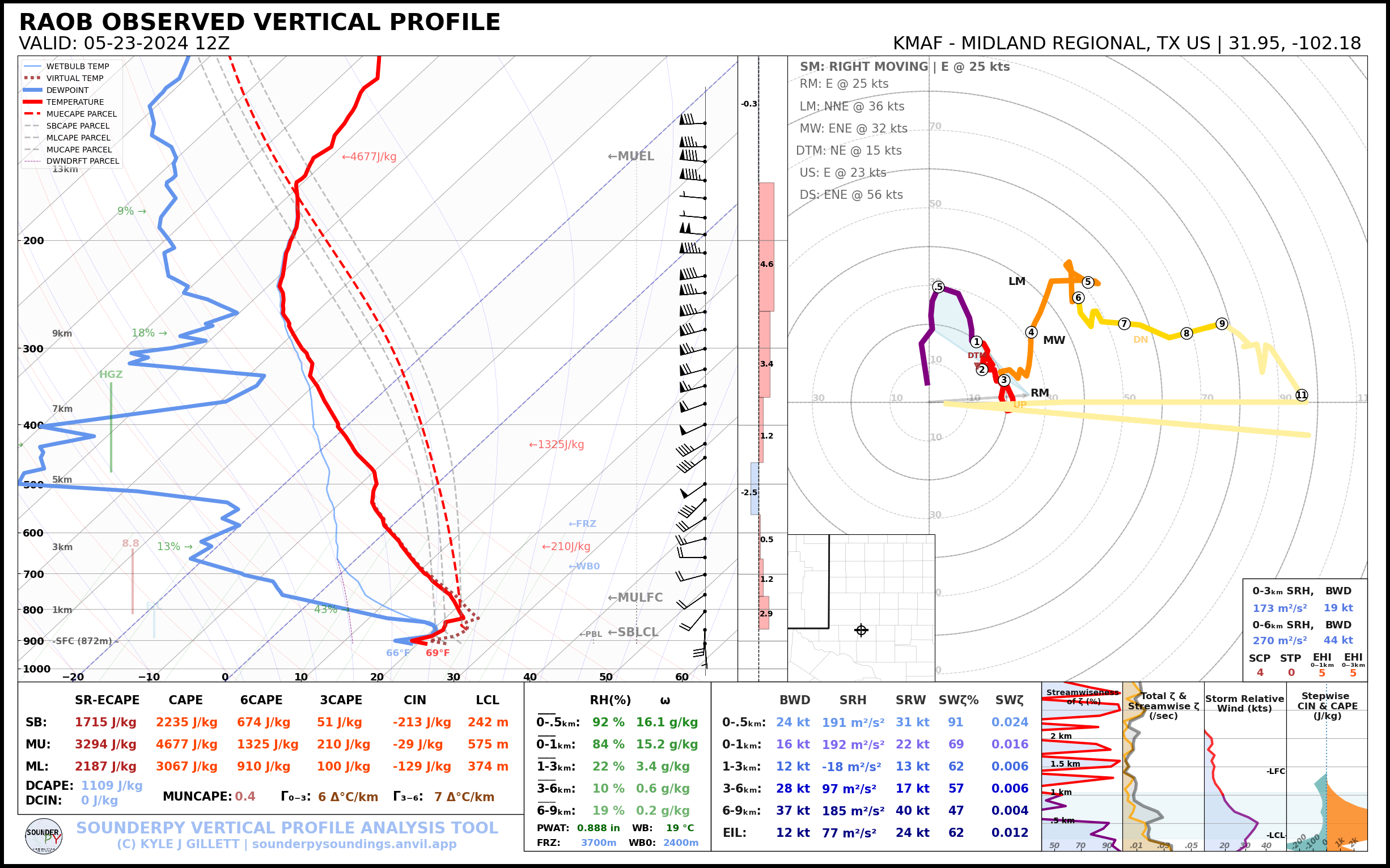
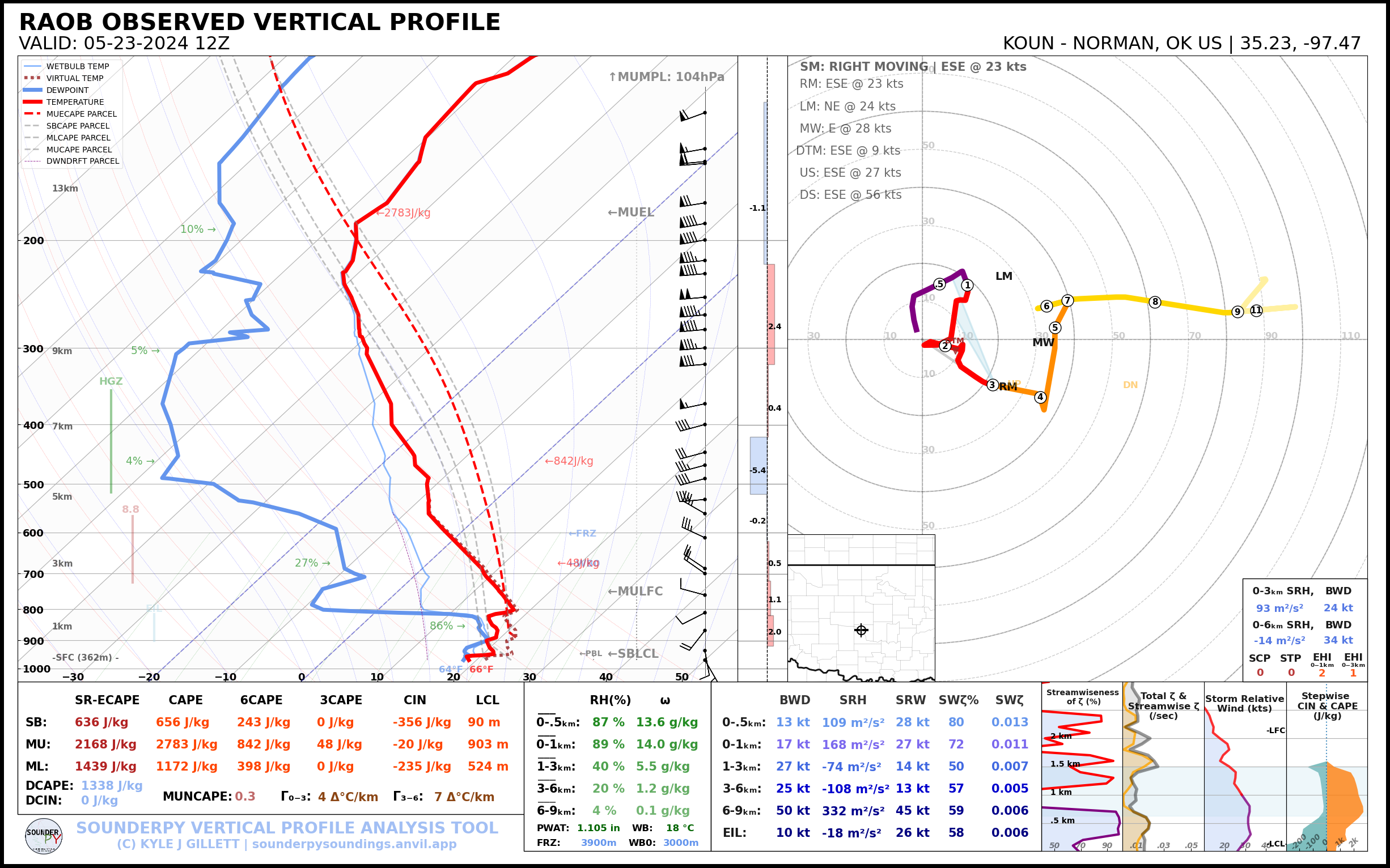
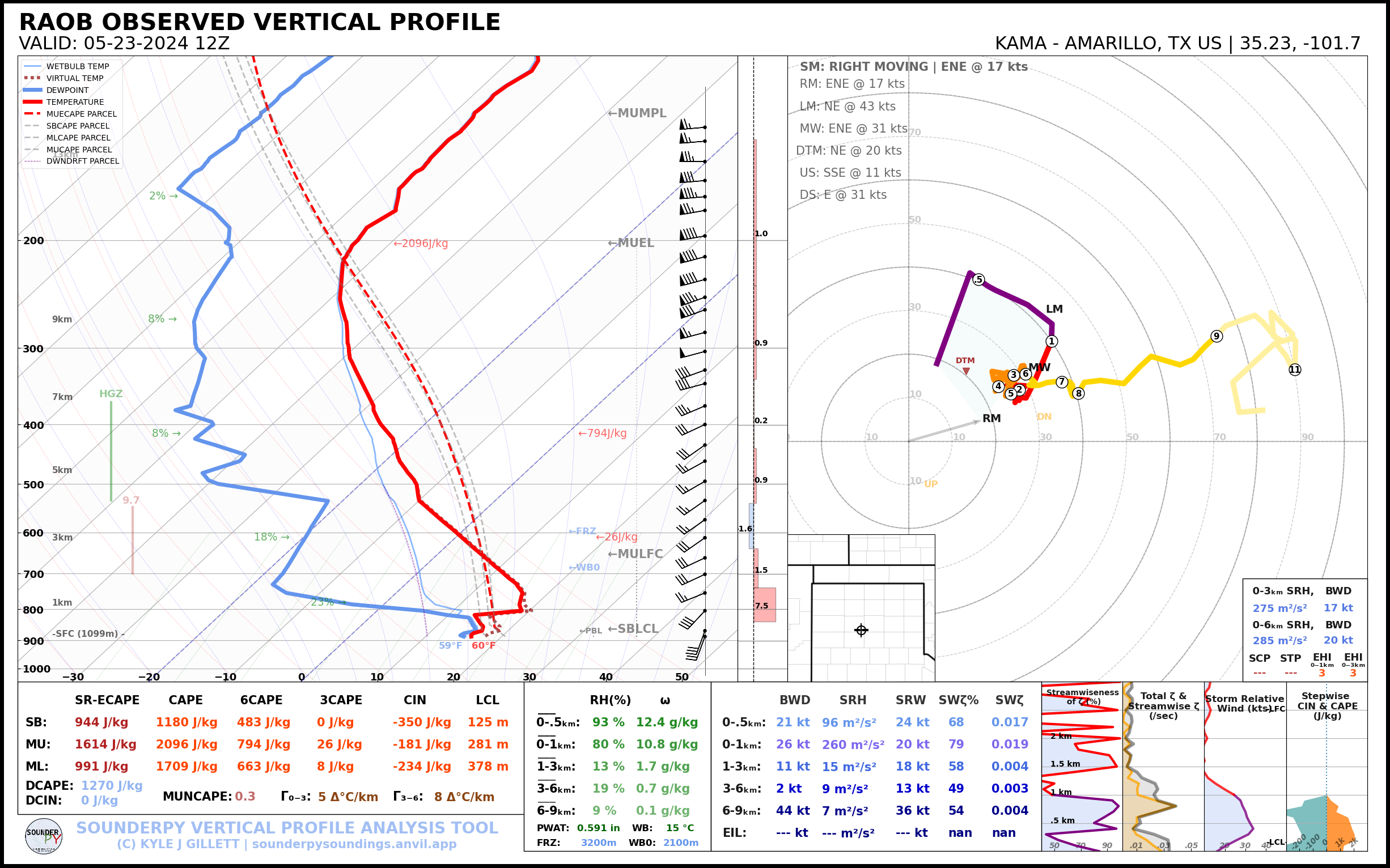
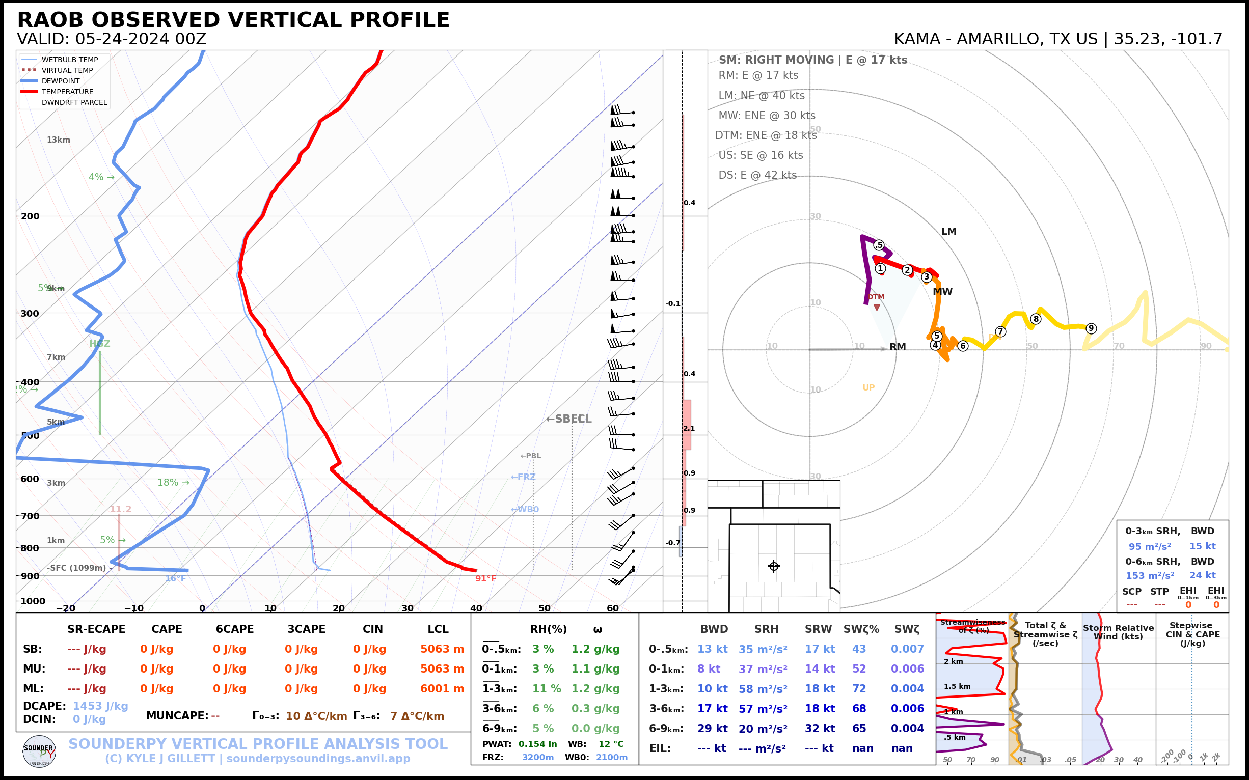
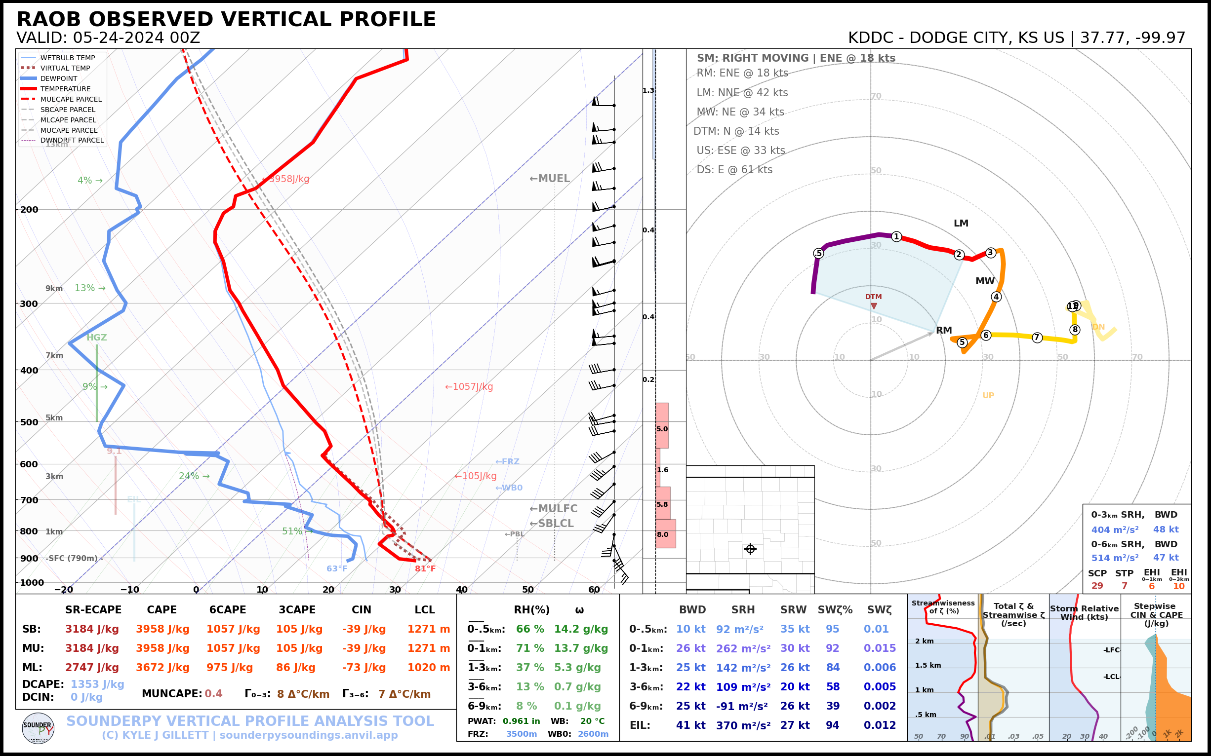
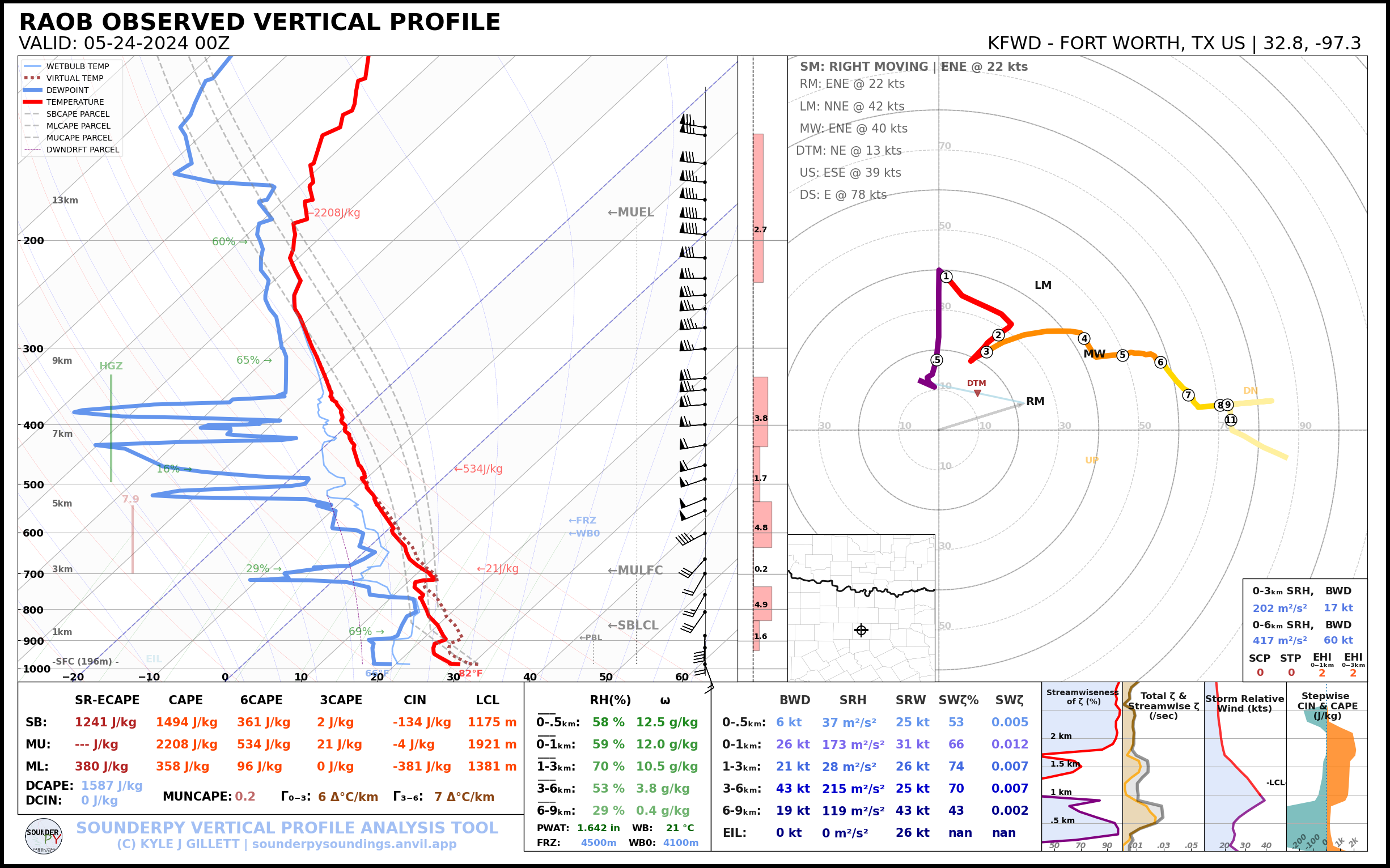
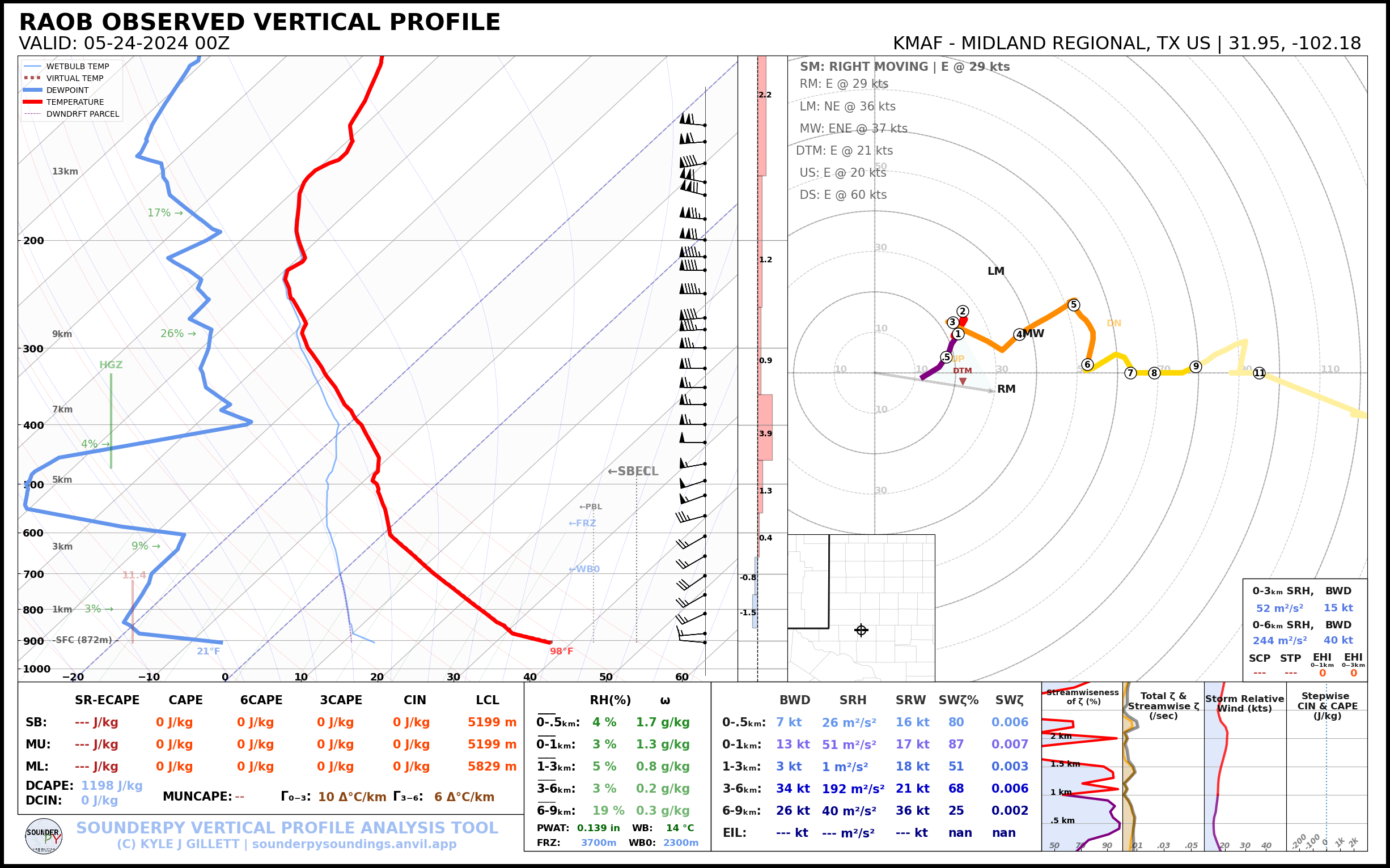
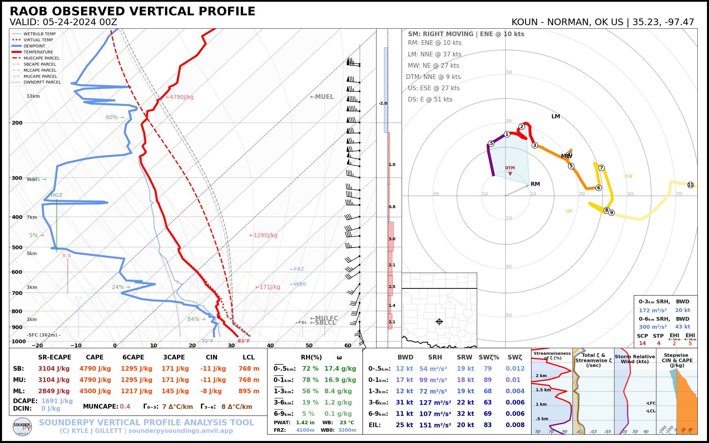
12Z RAOBS

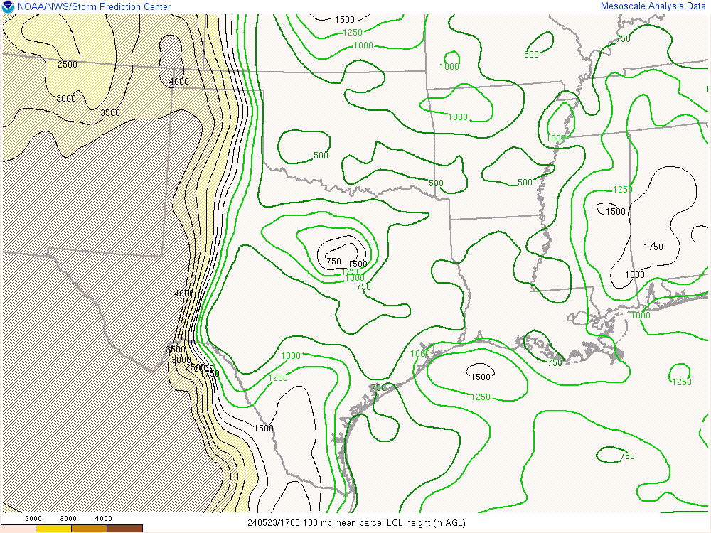
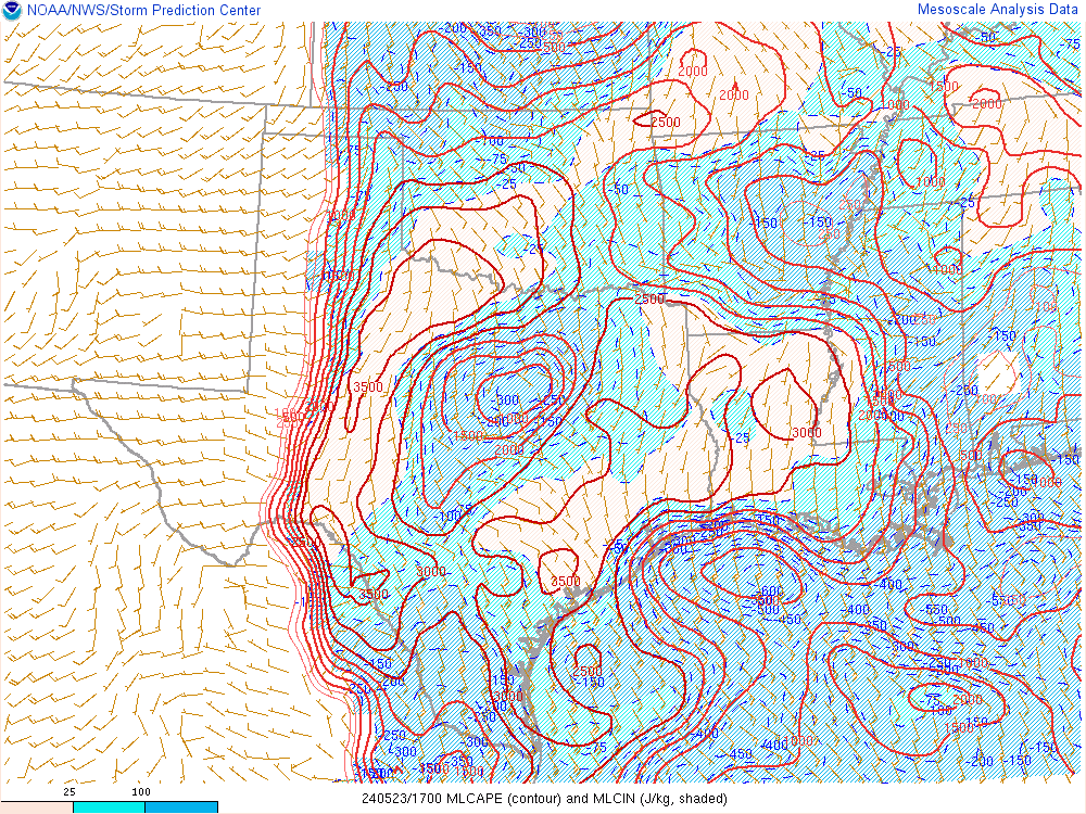
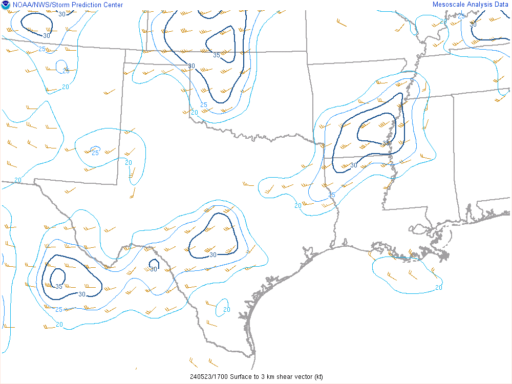
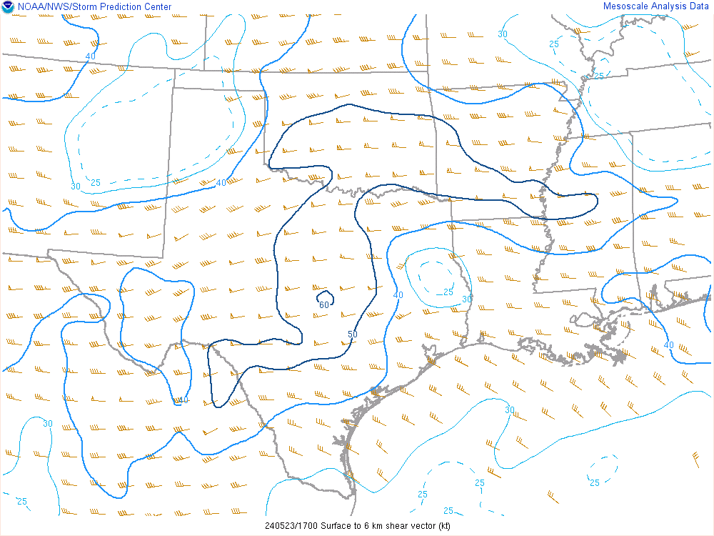
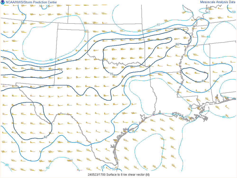
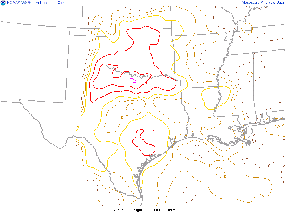
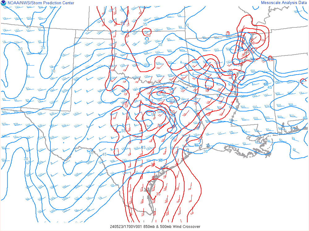
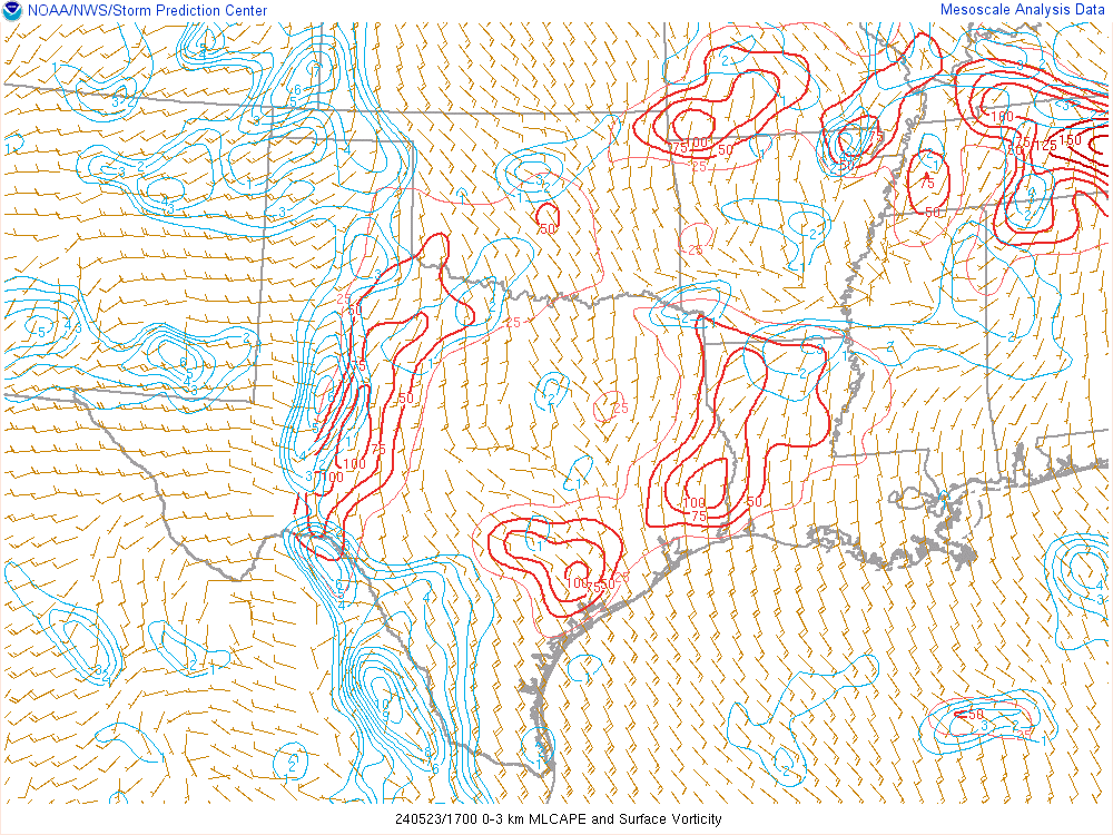
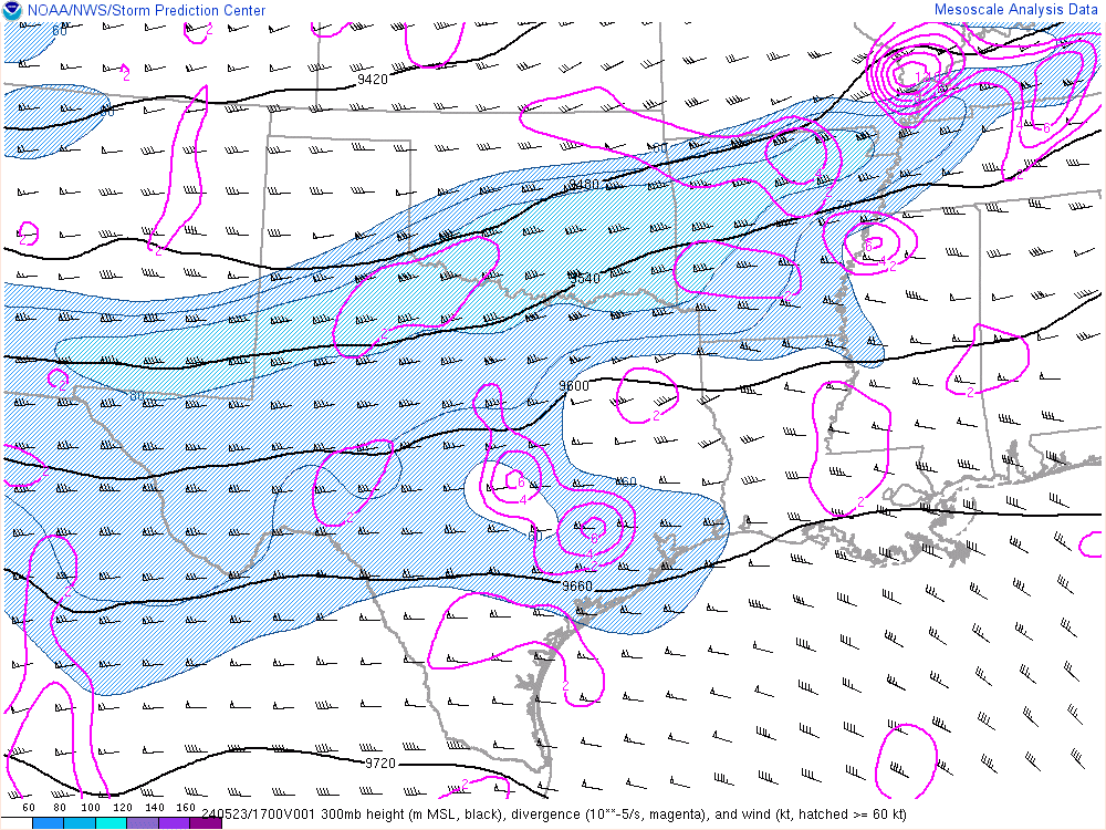
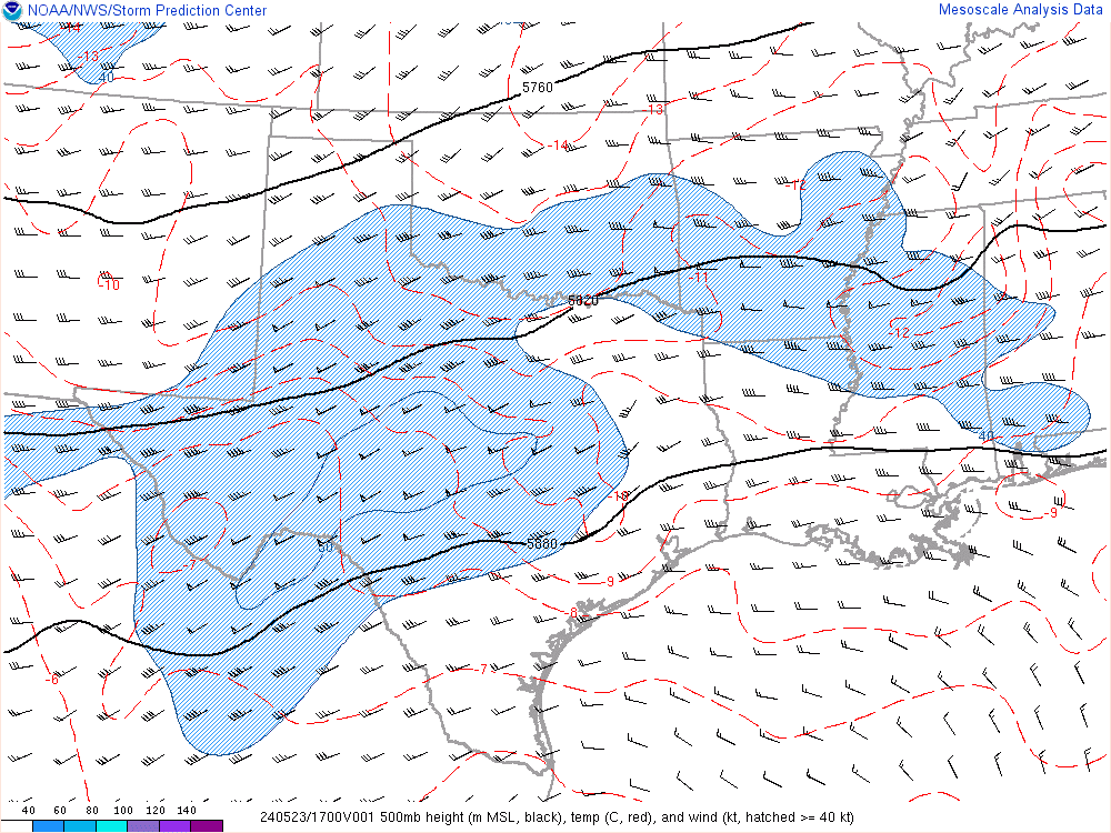
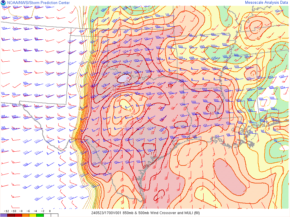
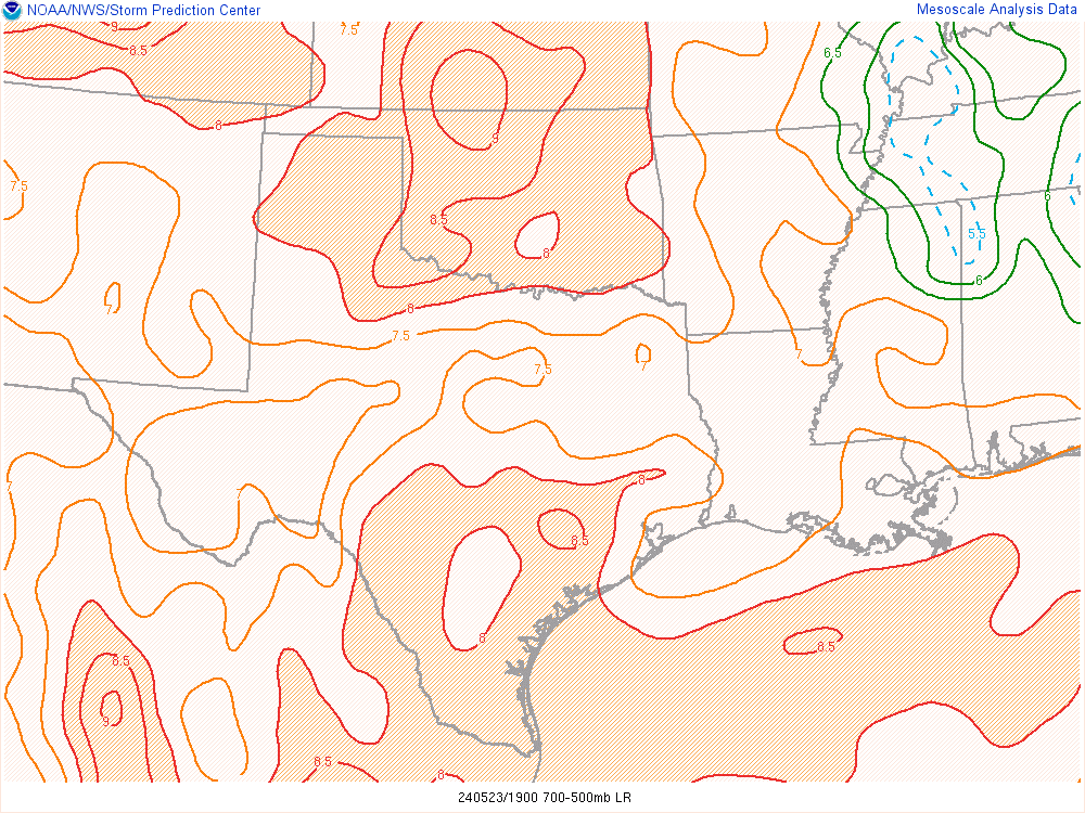
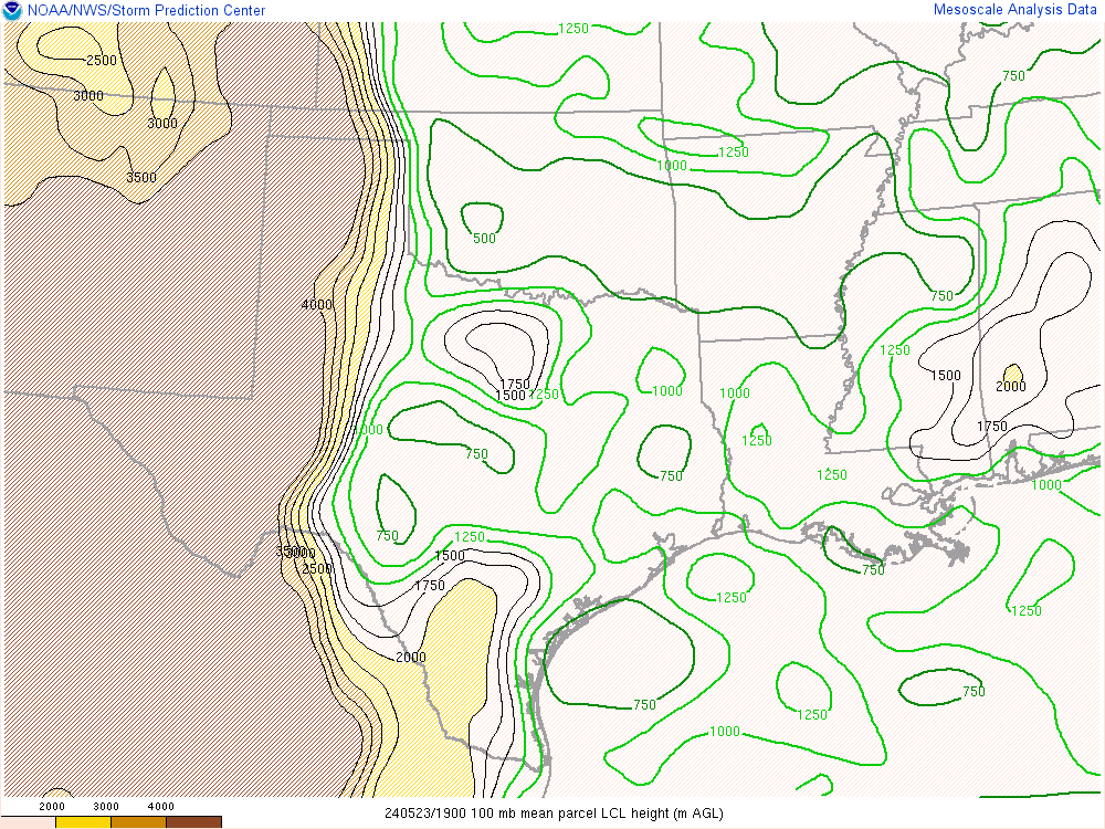
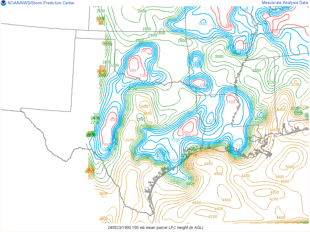
17Z SPC Mesoanalysis
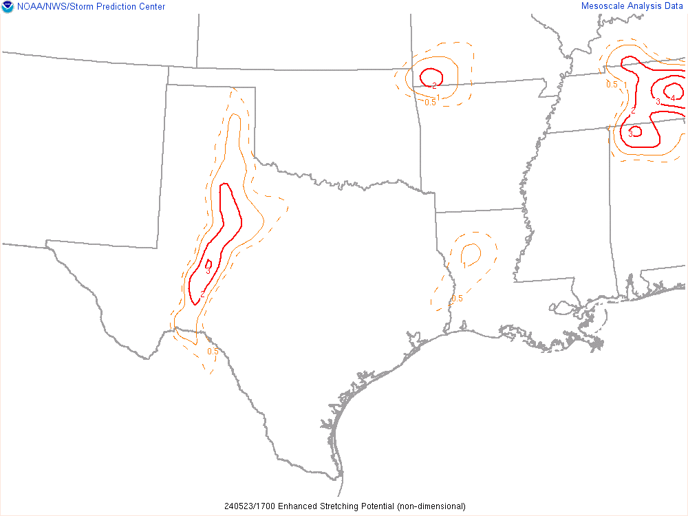
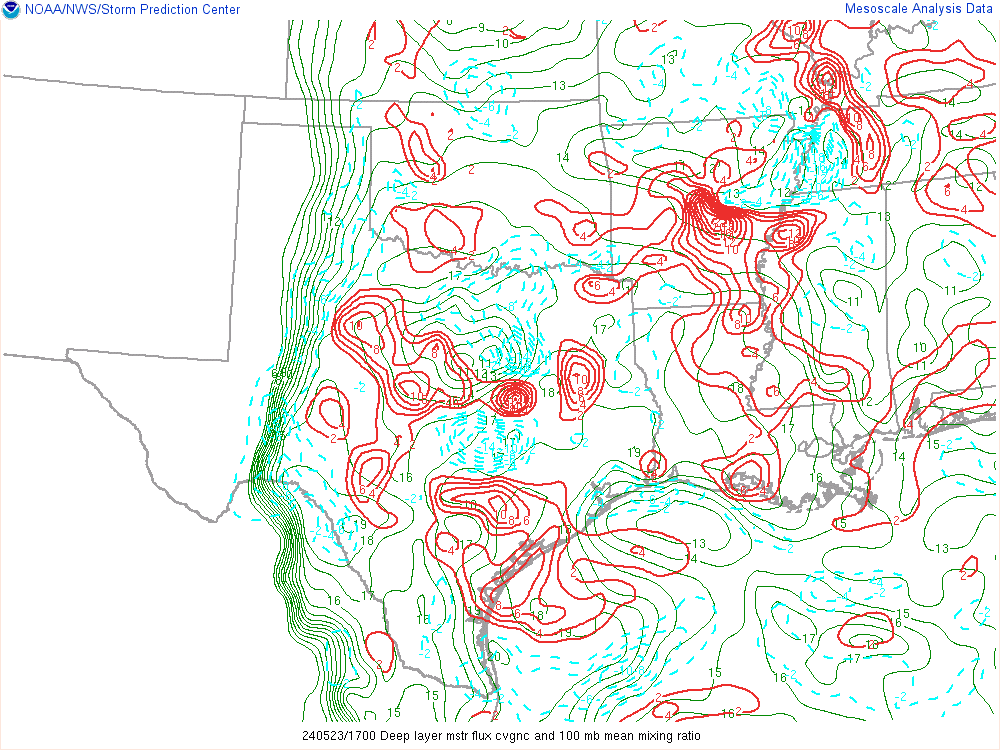
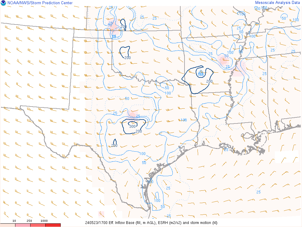
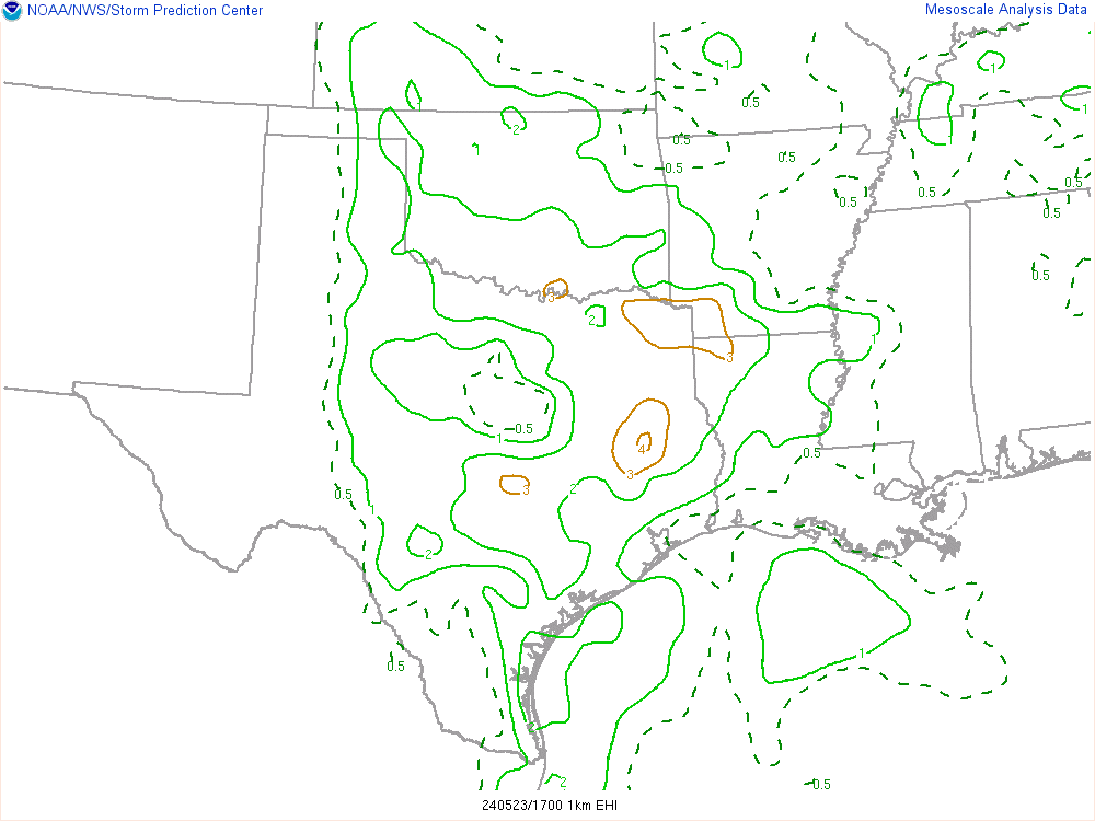
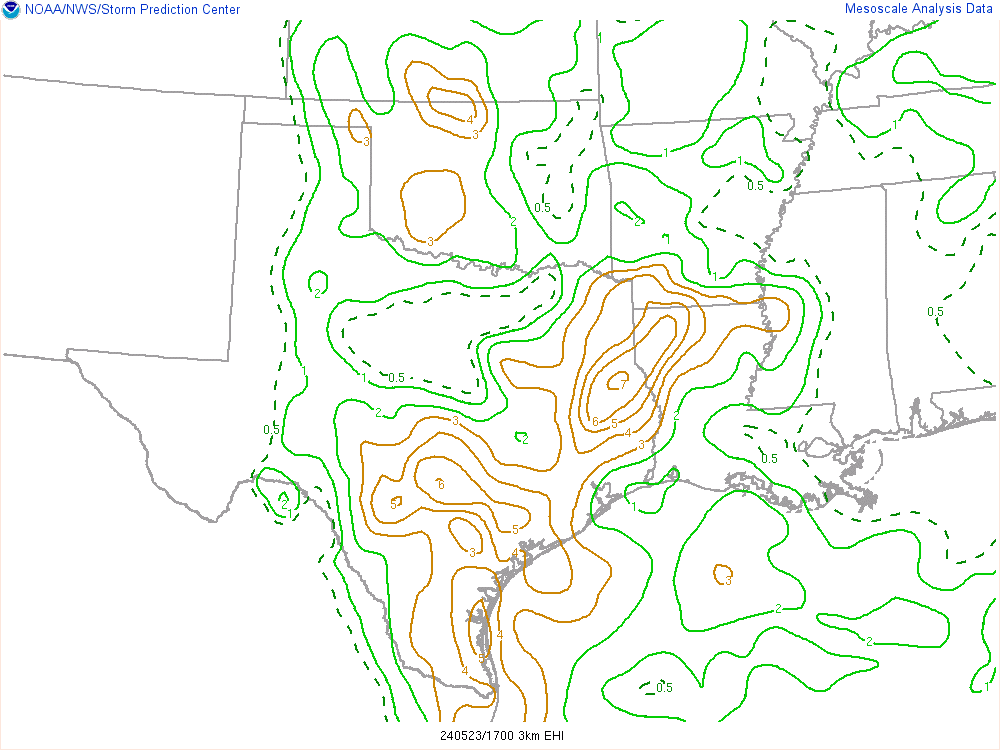
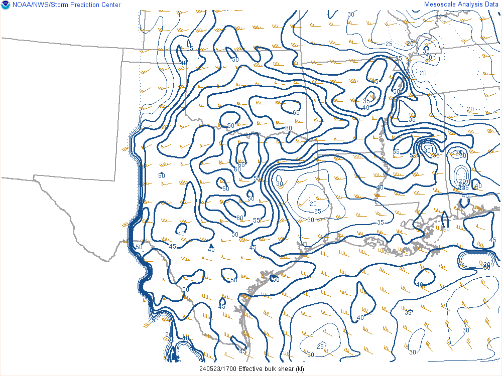
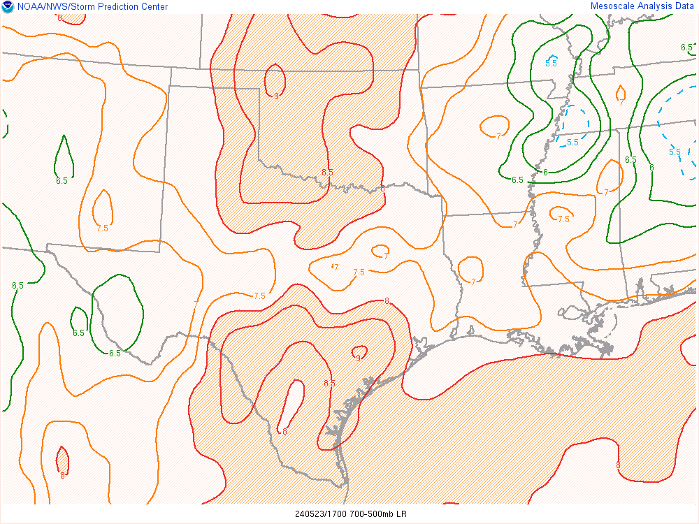
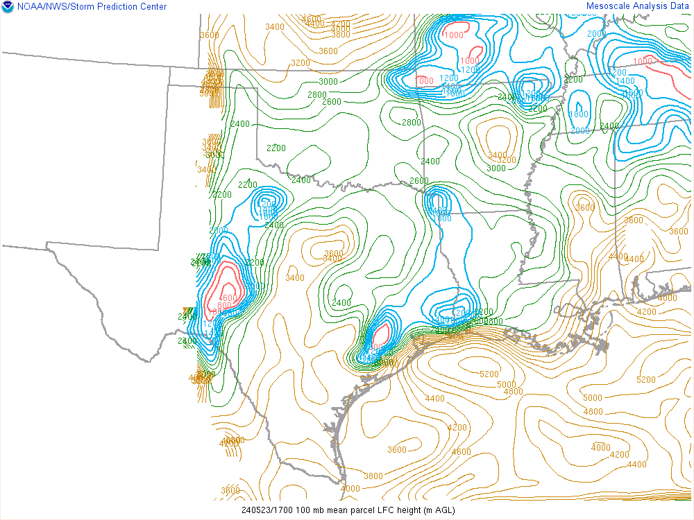
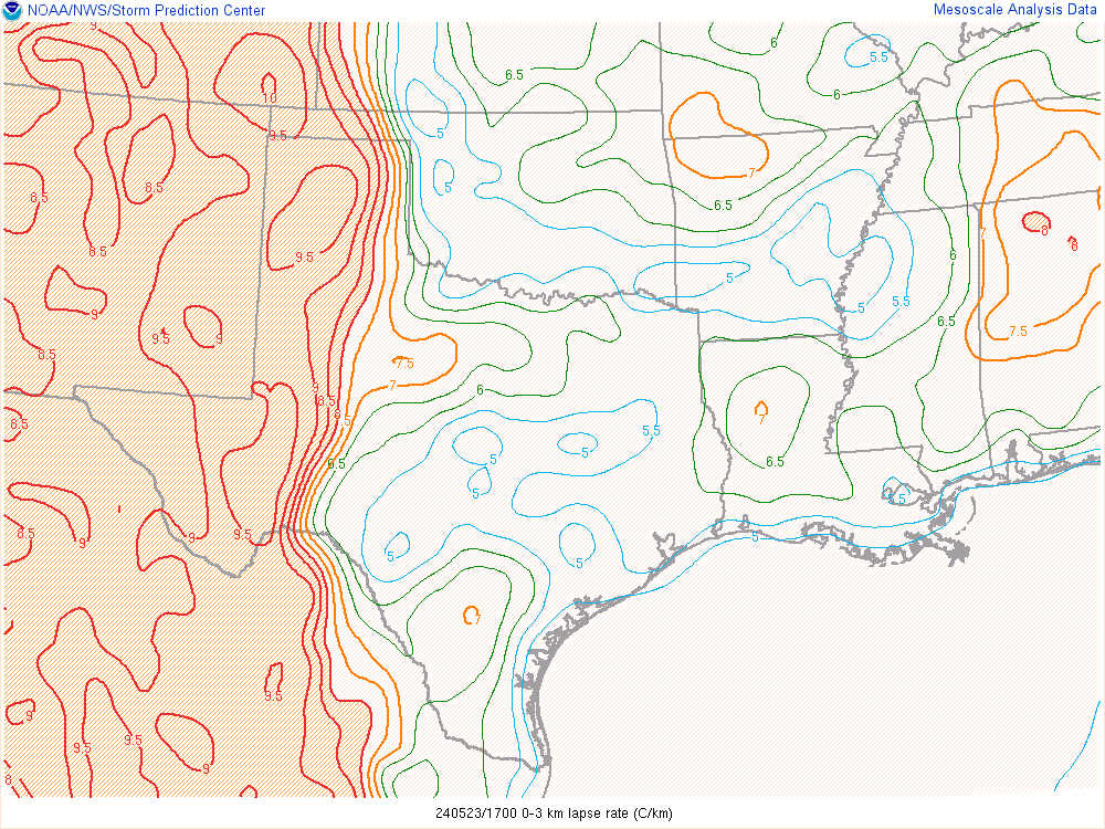
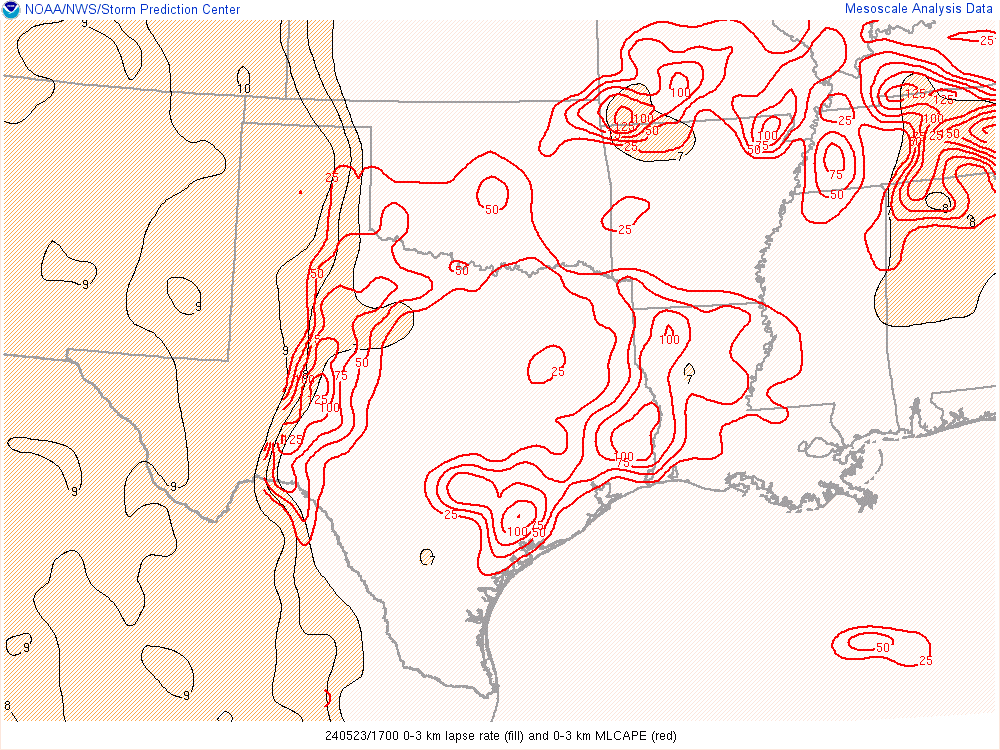
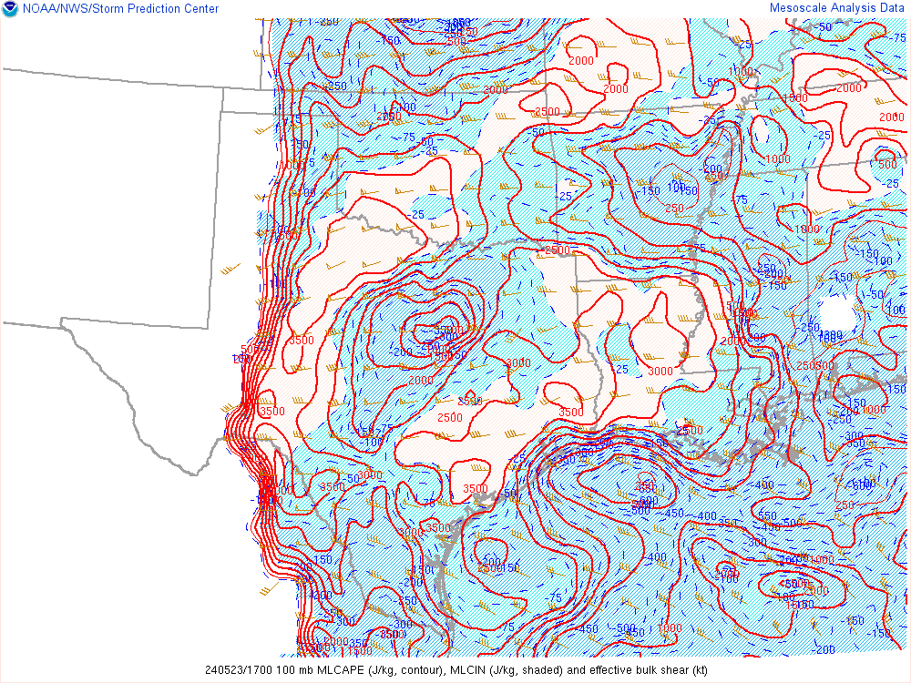
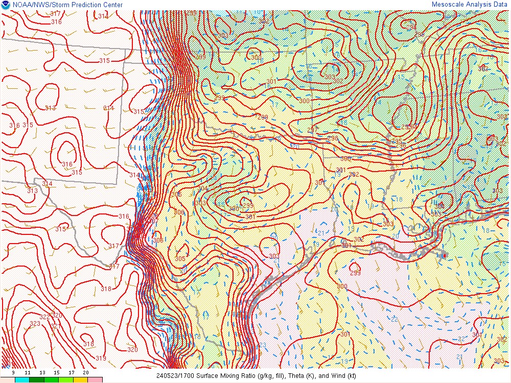
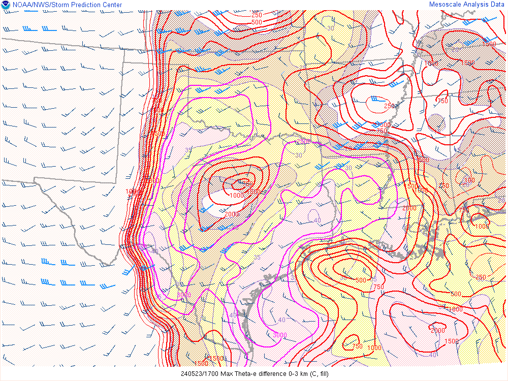
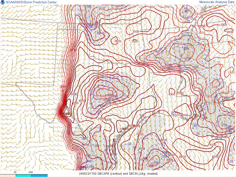
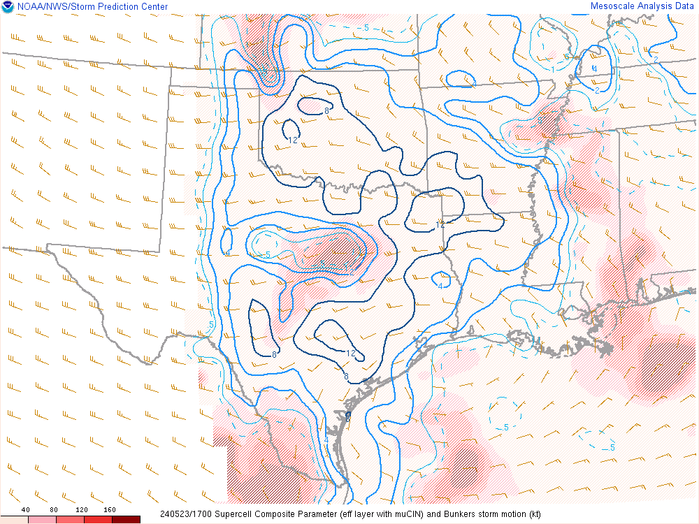
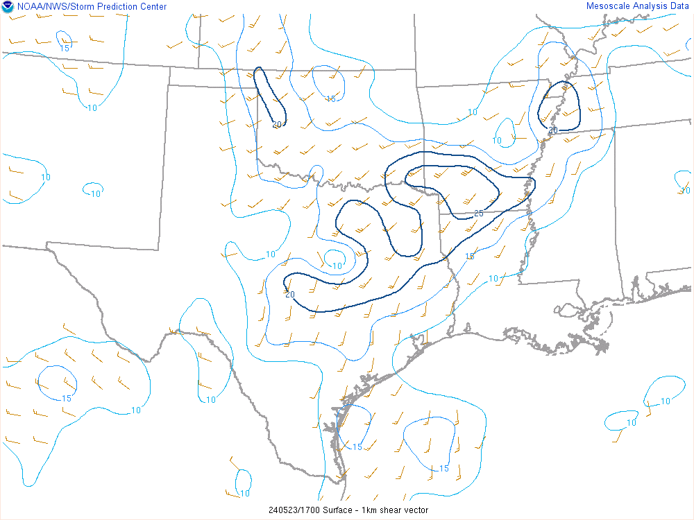
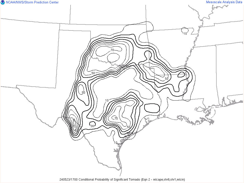
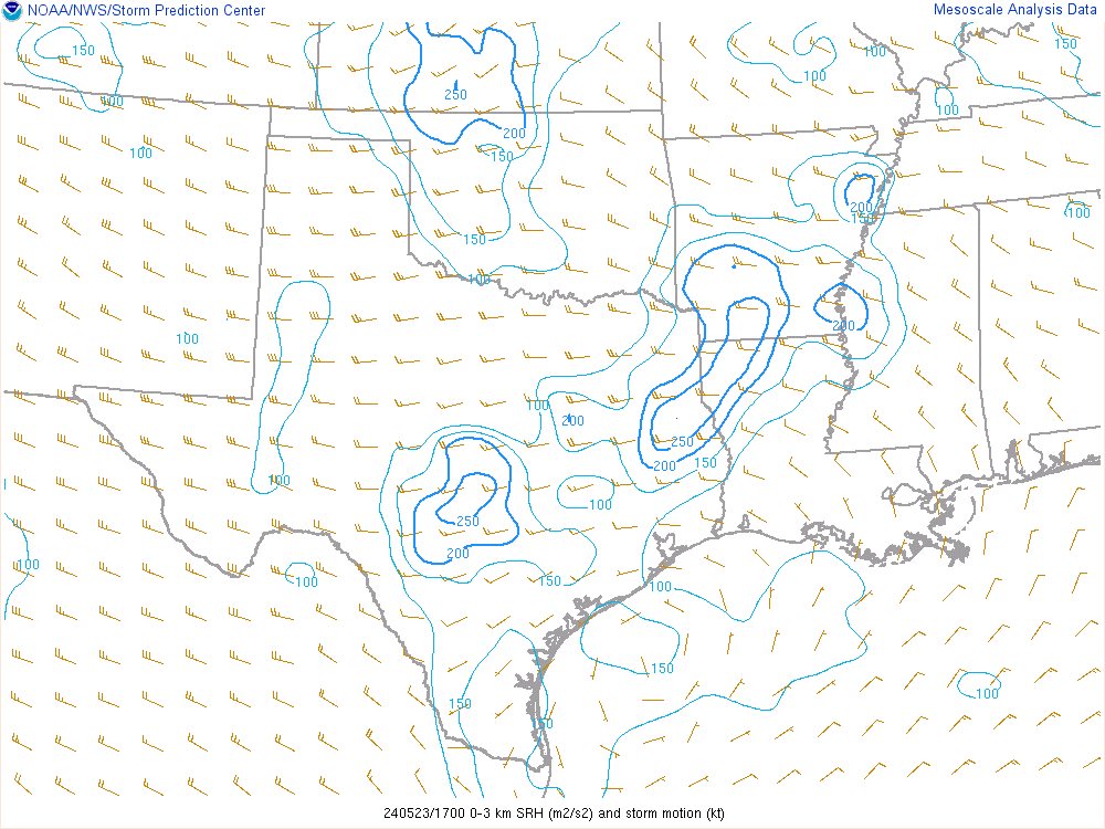
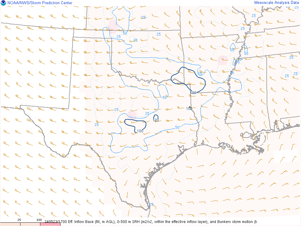
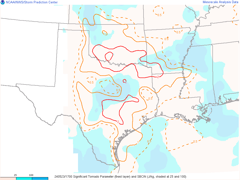
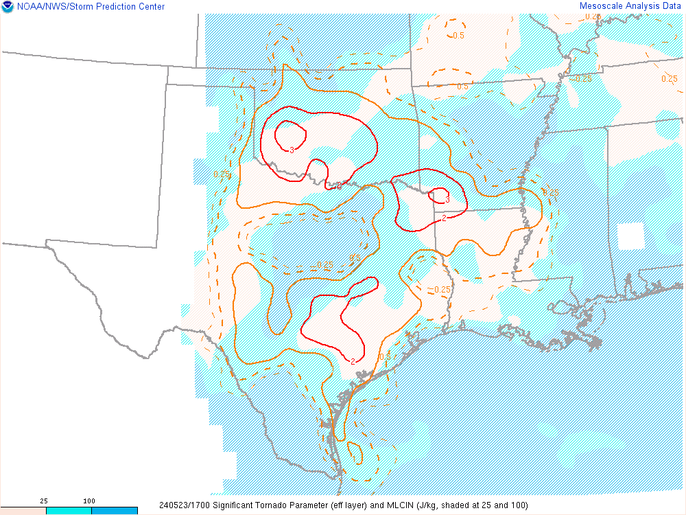
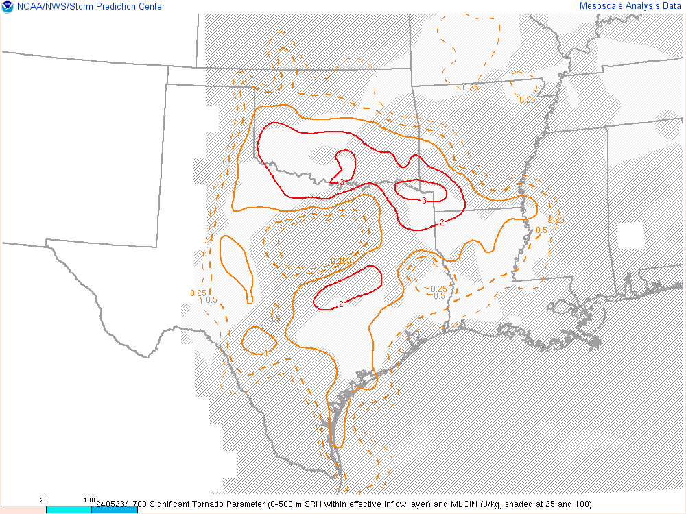

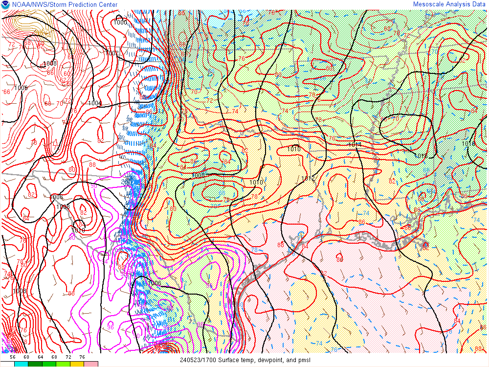
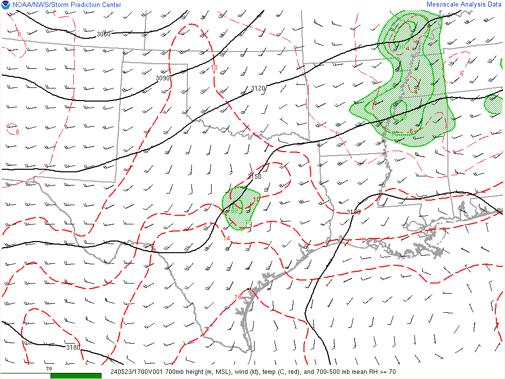
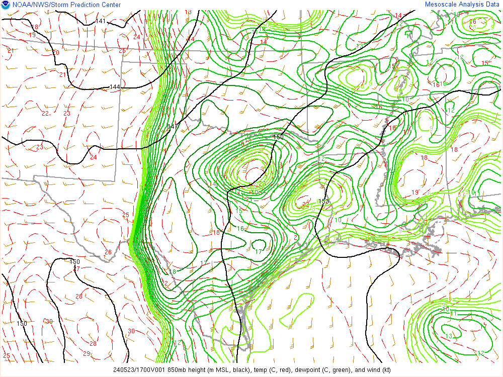
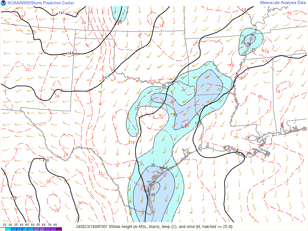
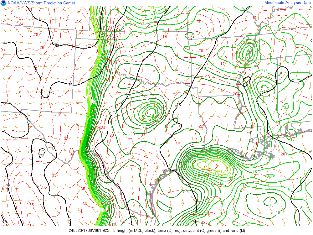
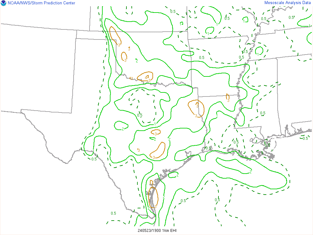
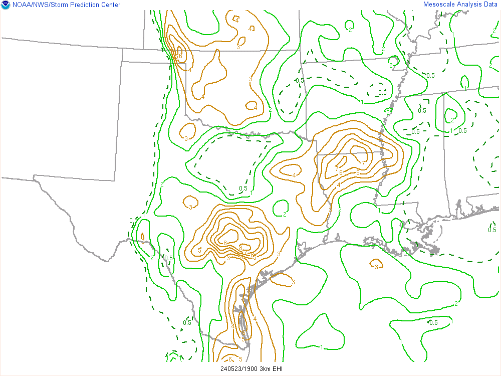
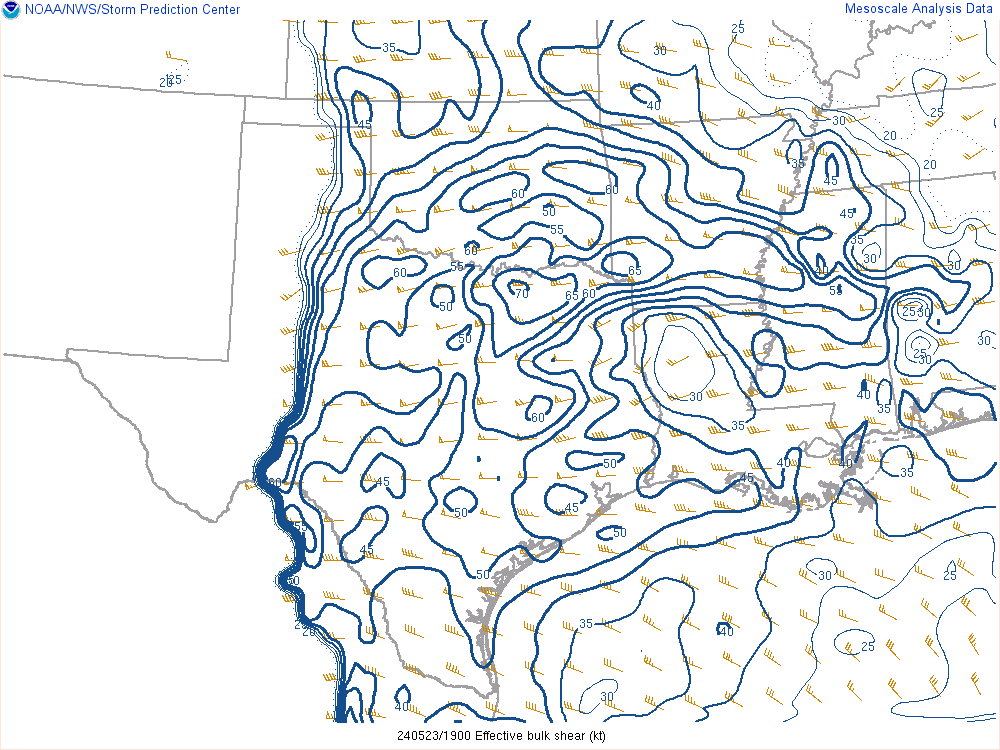
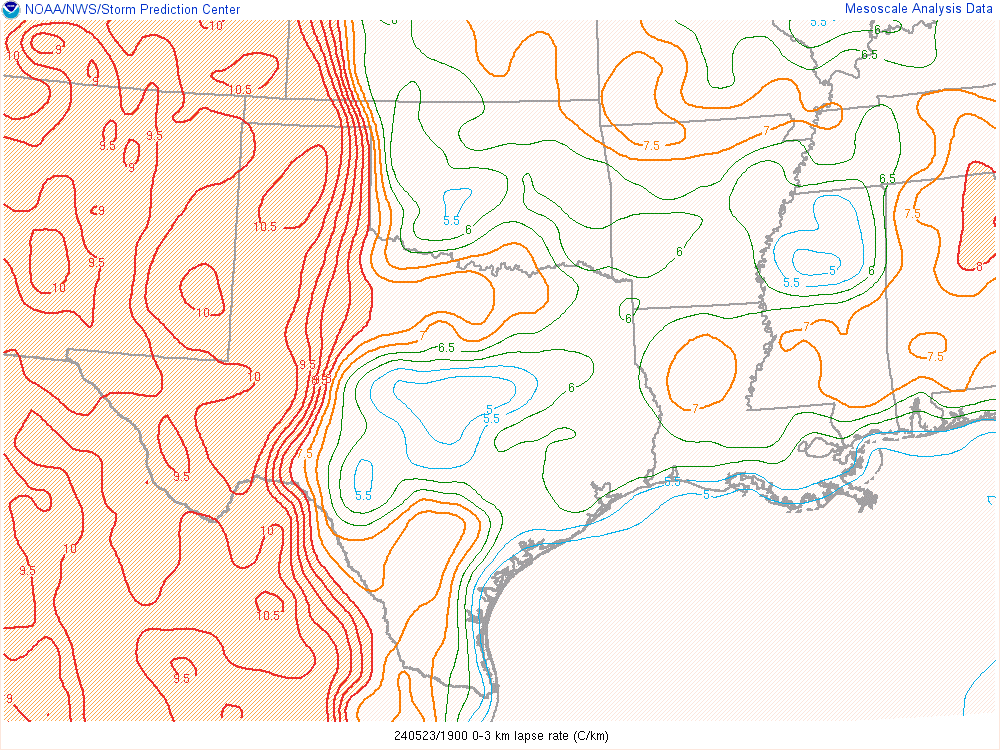
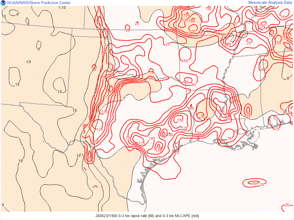
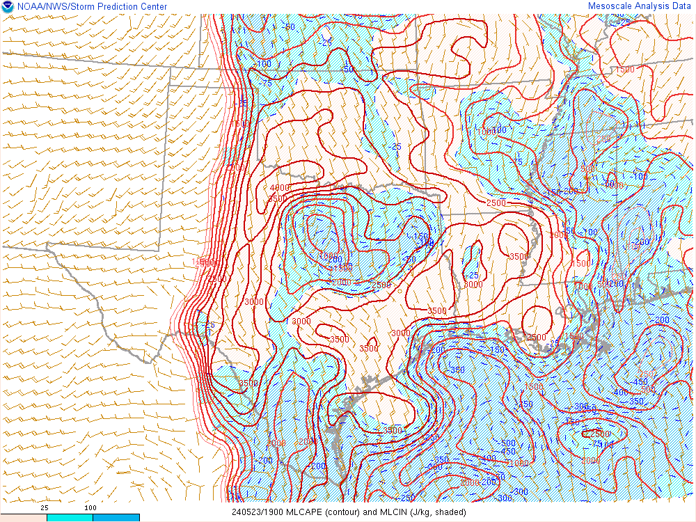
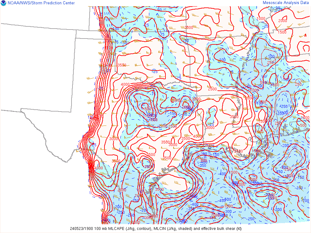
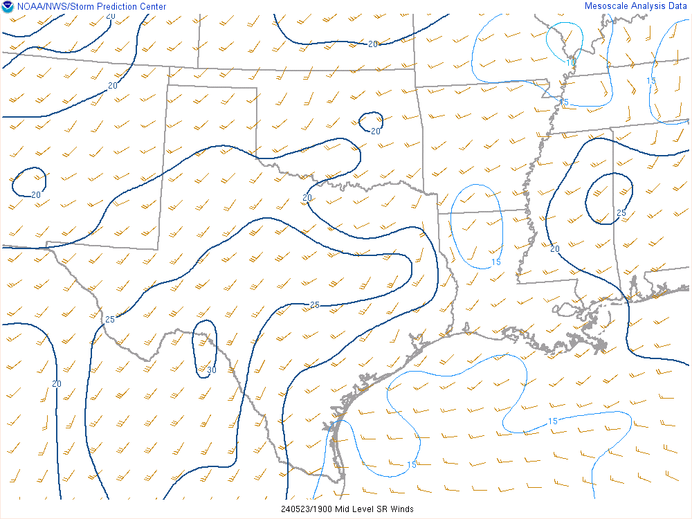
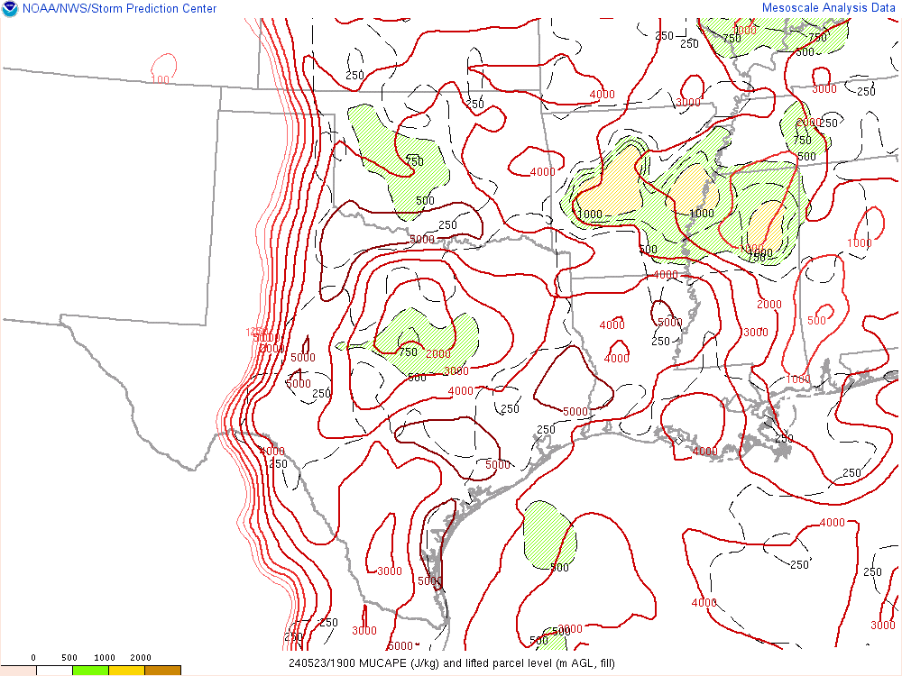
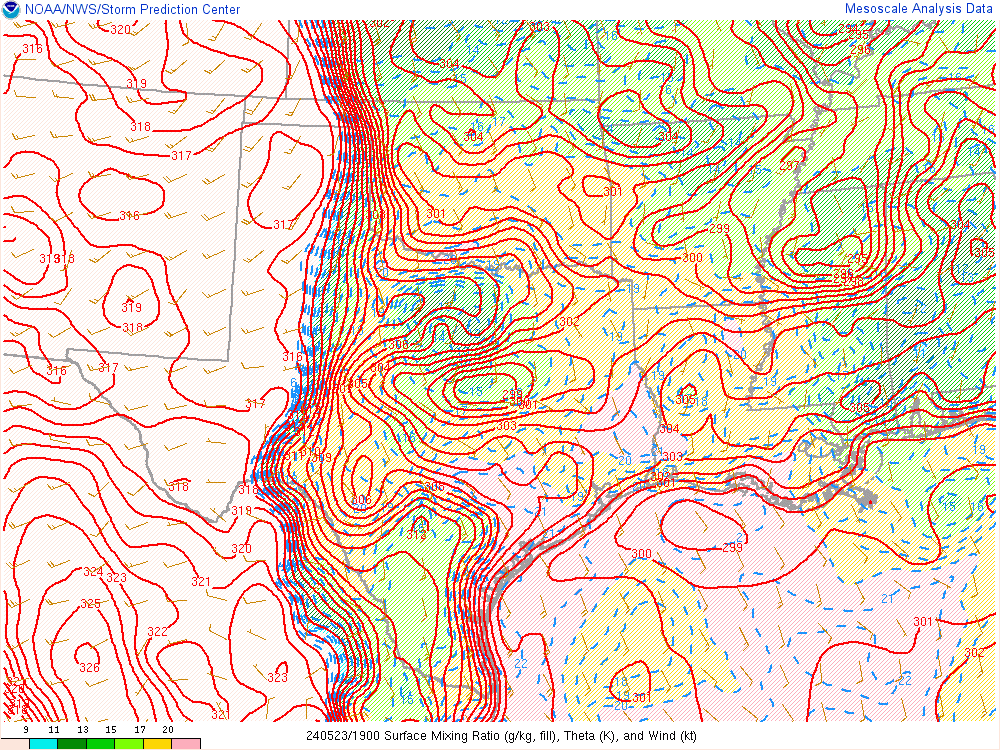
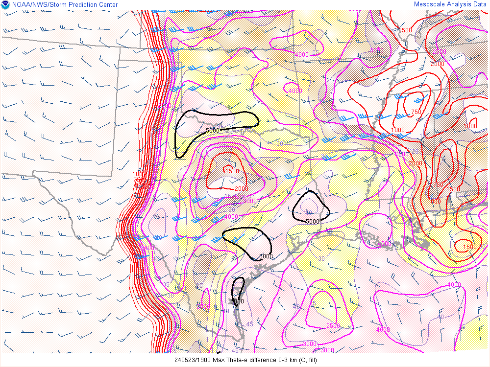
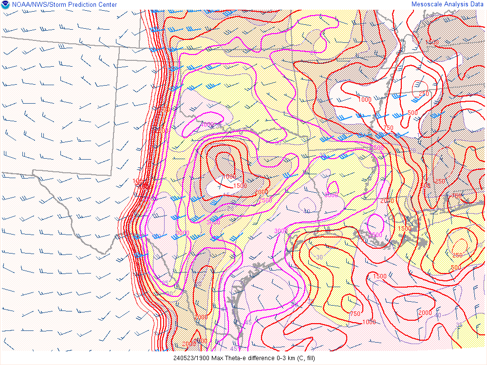
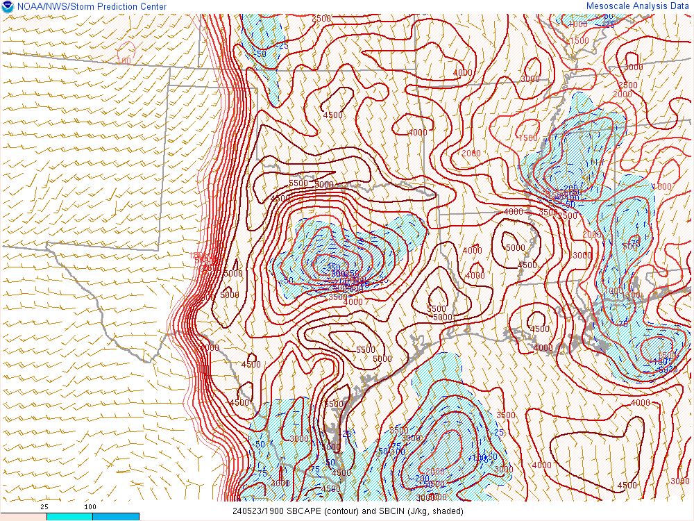
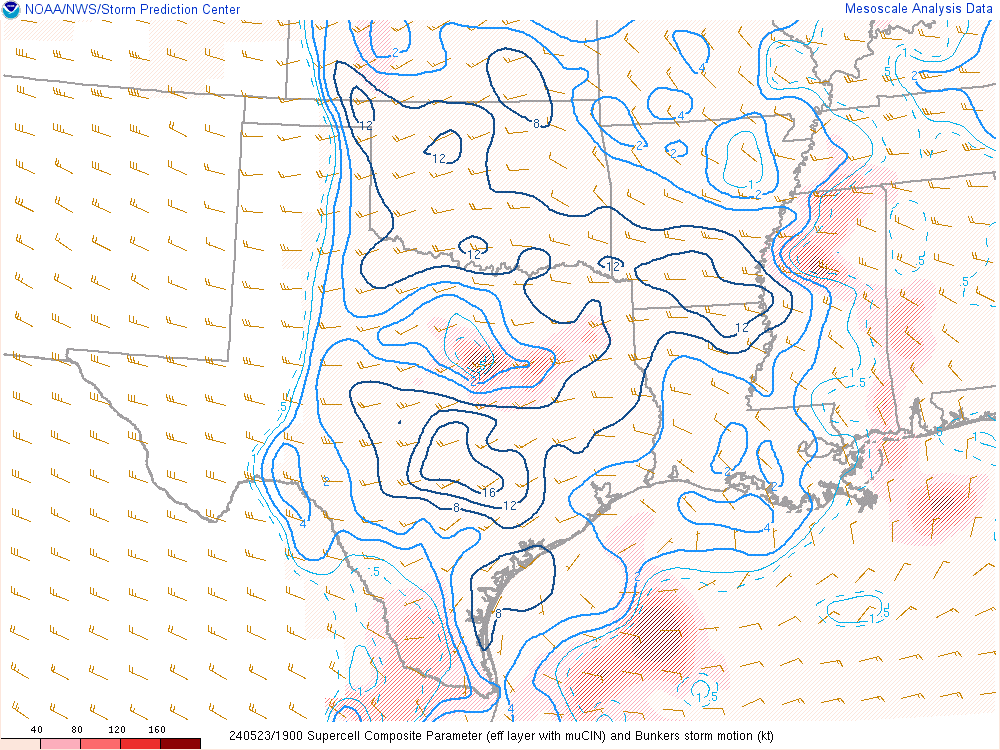
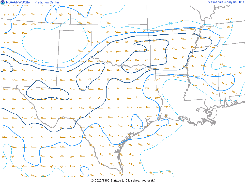
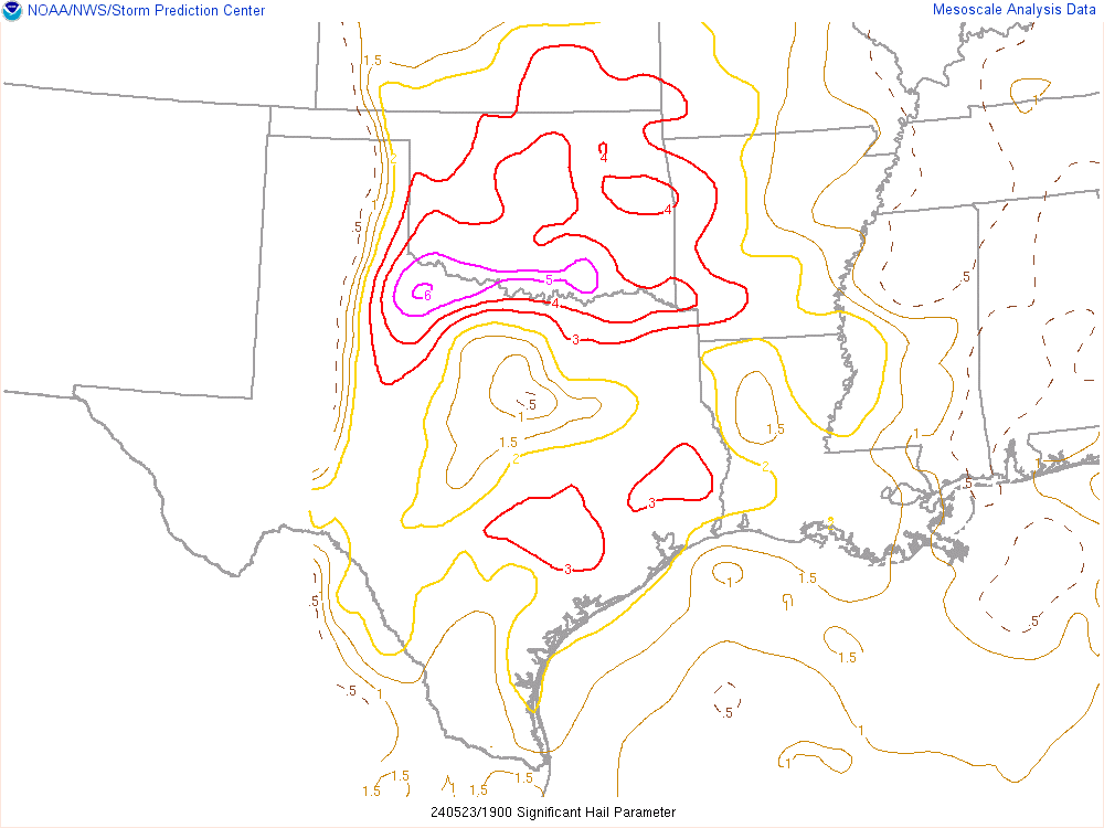
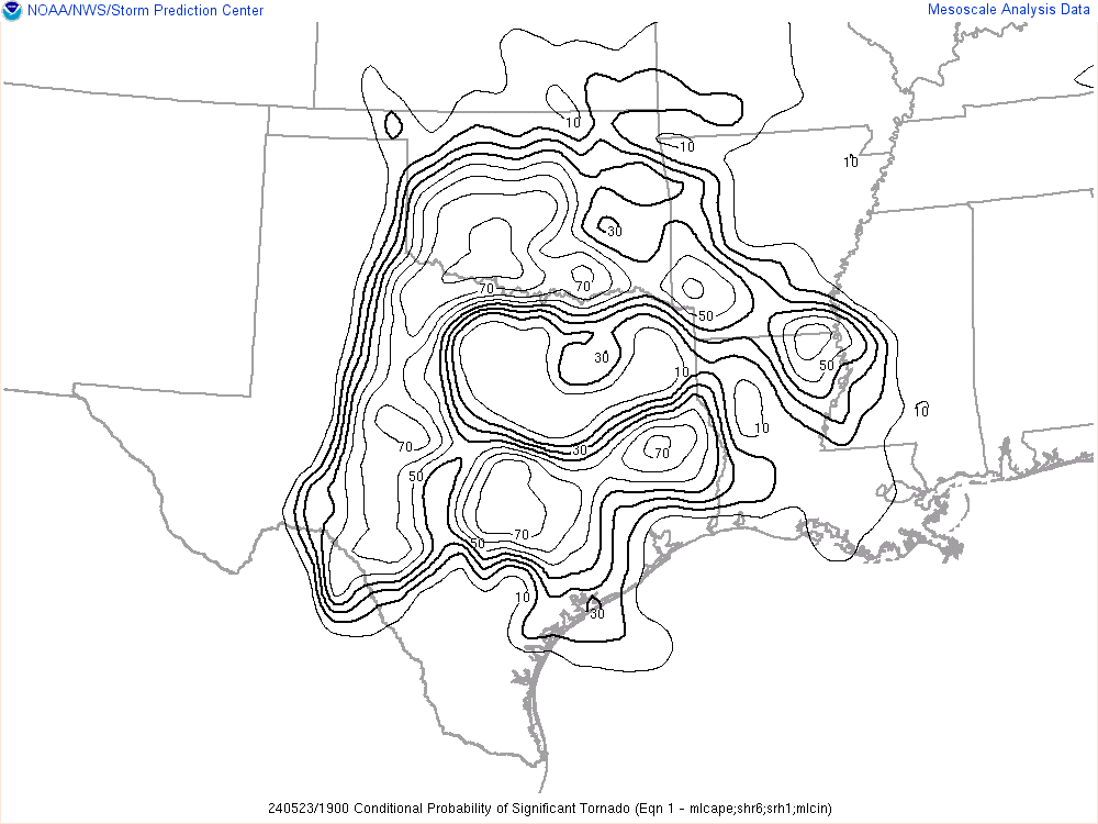
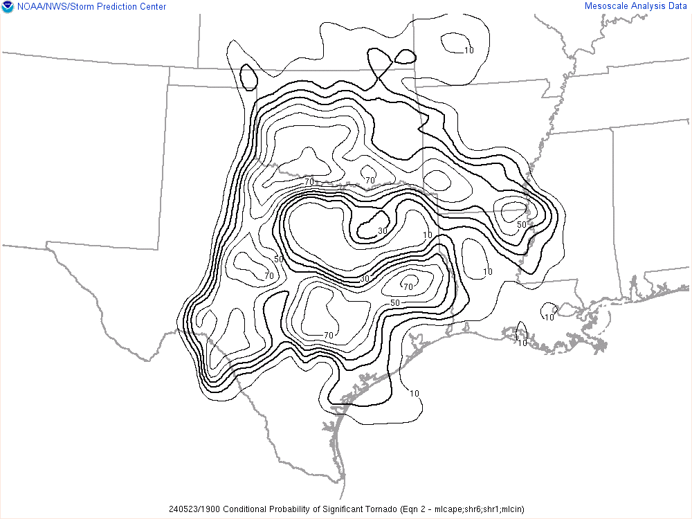
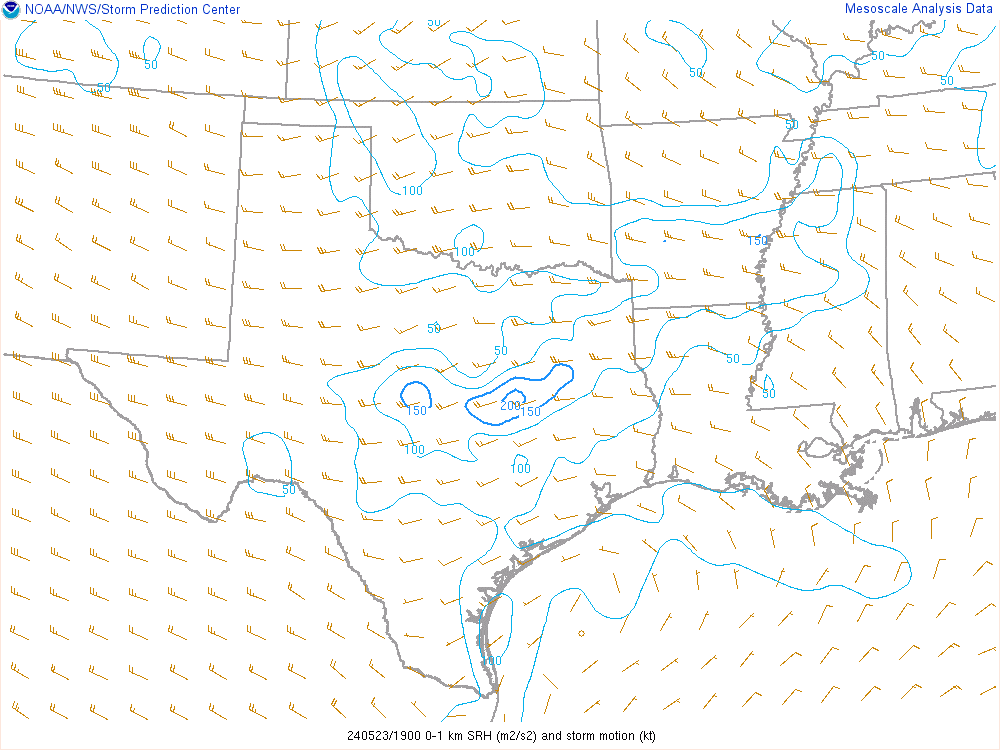
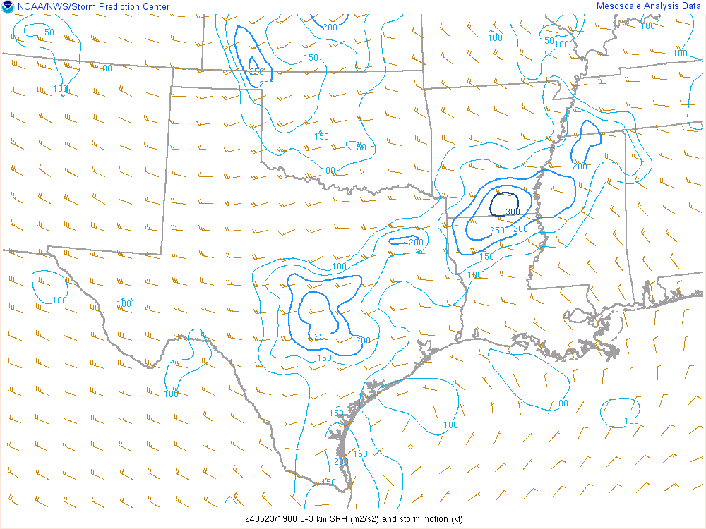
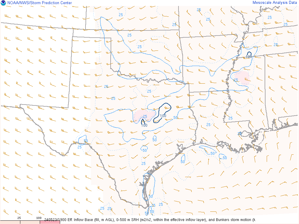
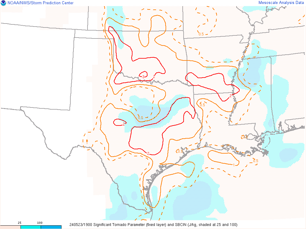
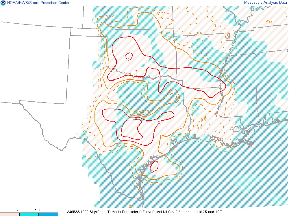
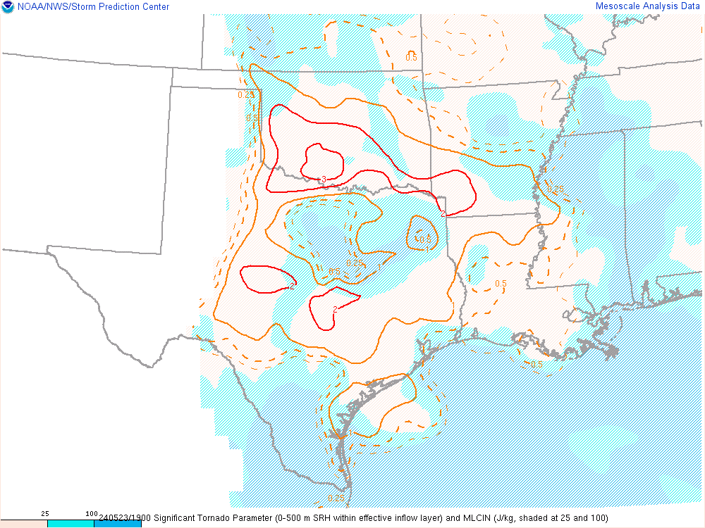
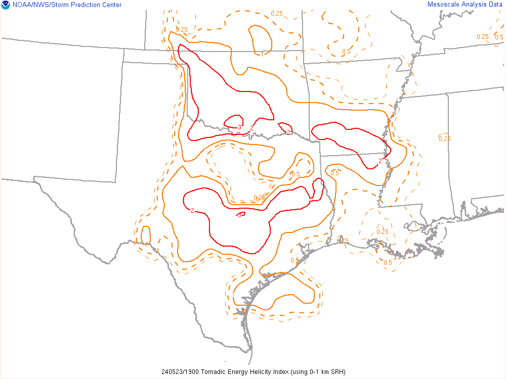
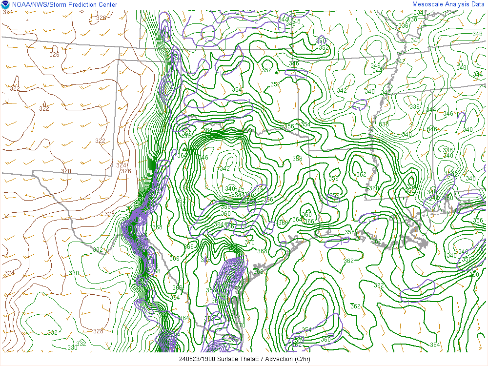
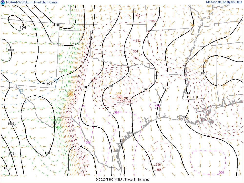
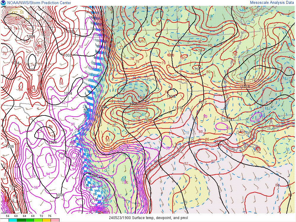
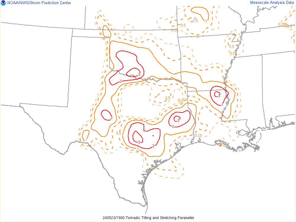
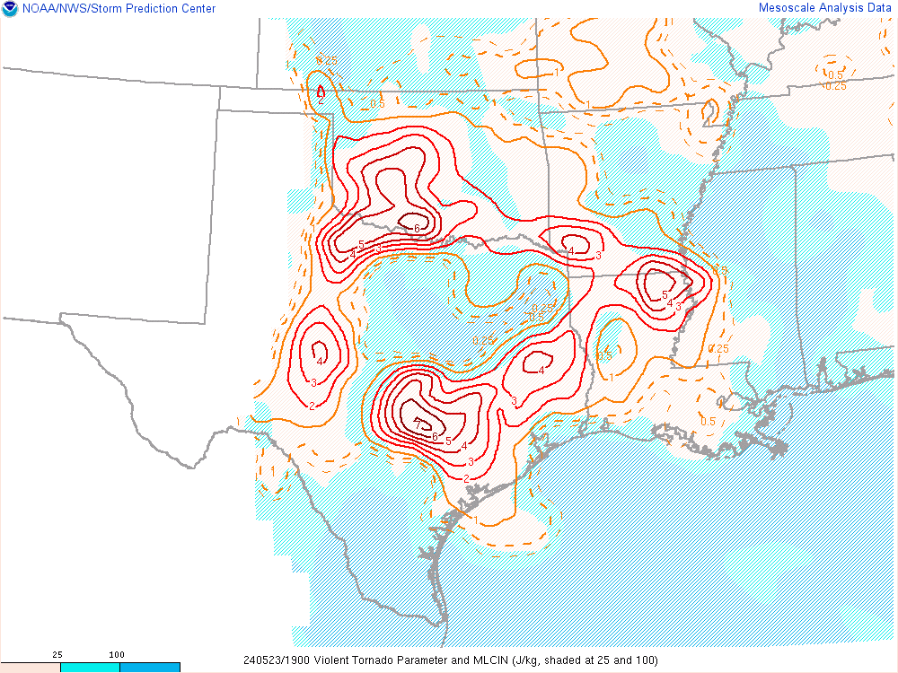
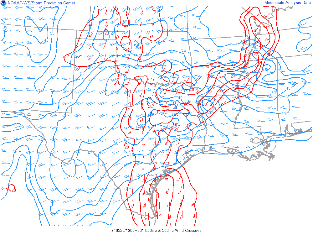
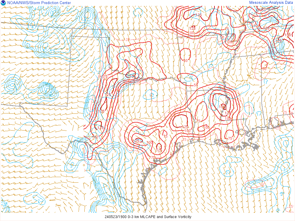
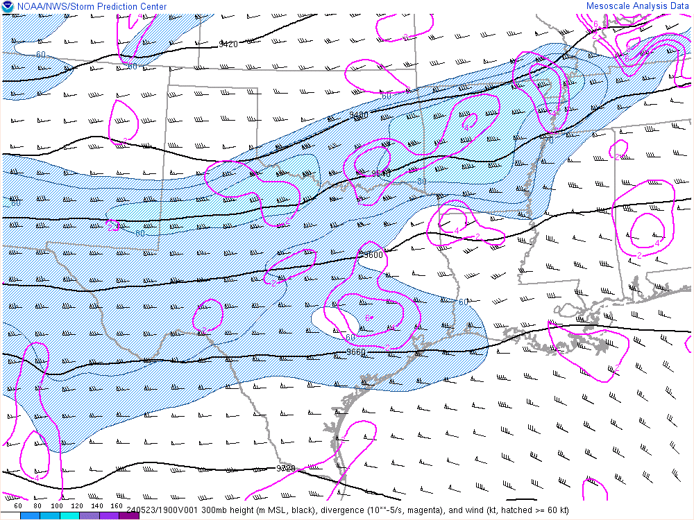
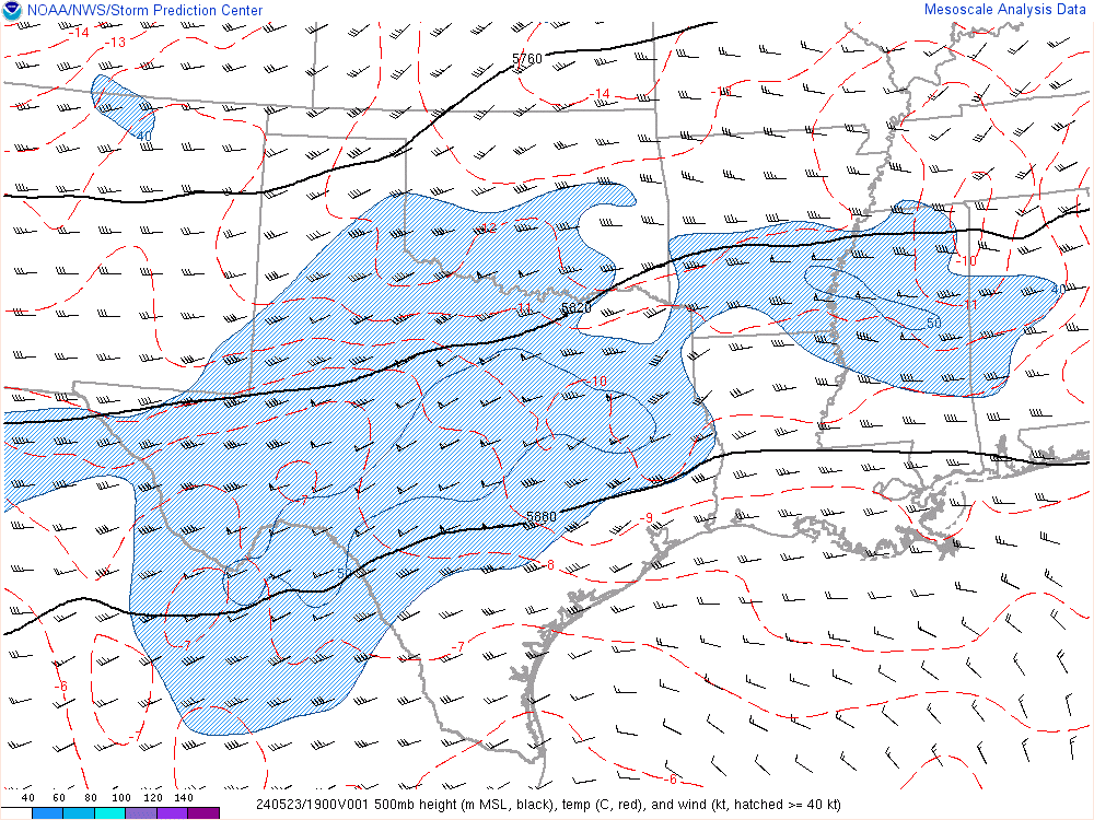
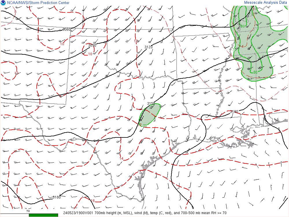
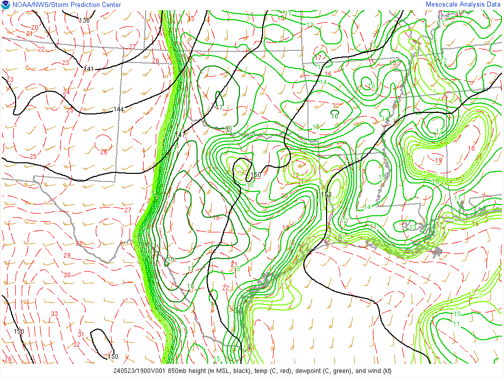
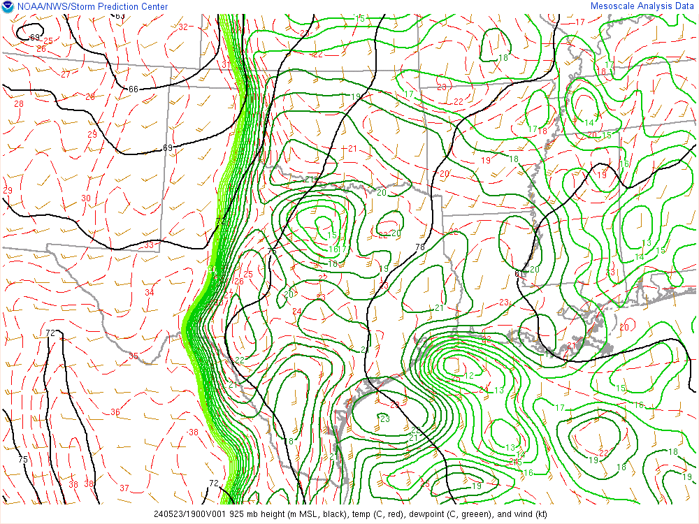
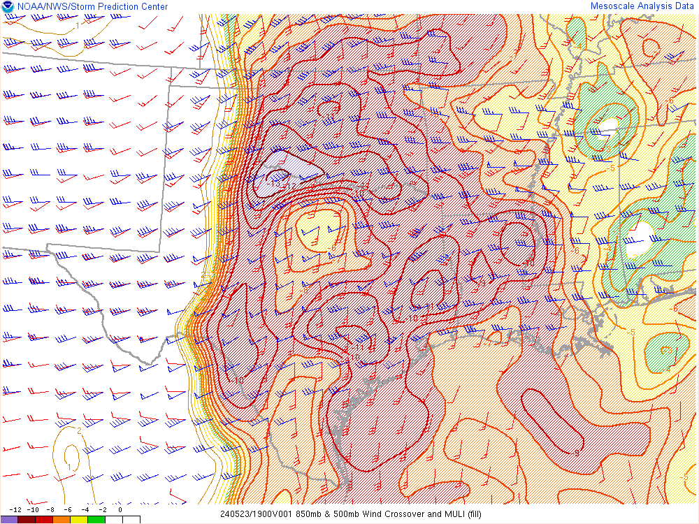
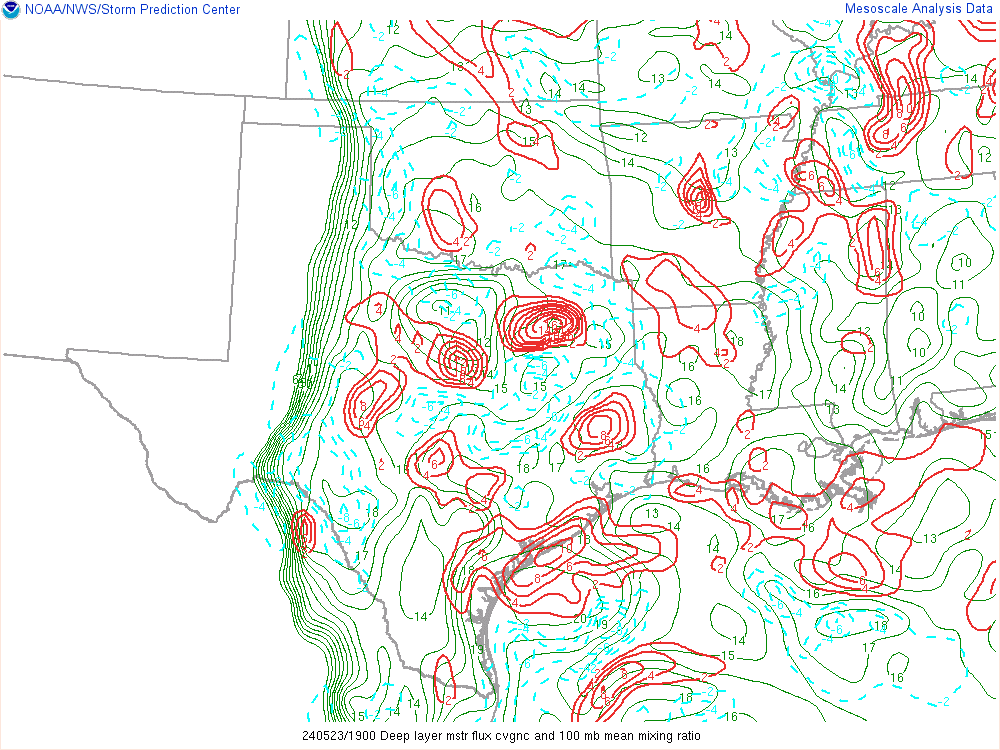
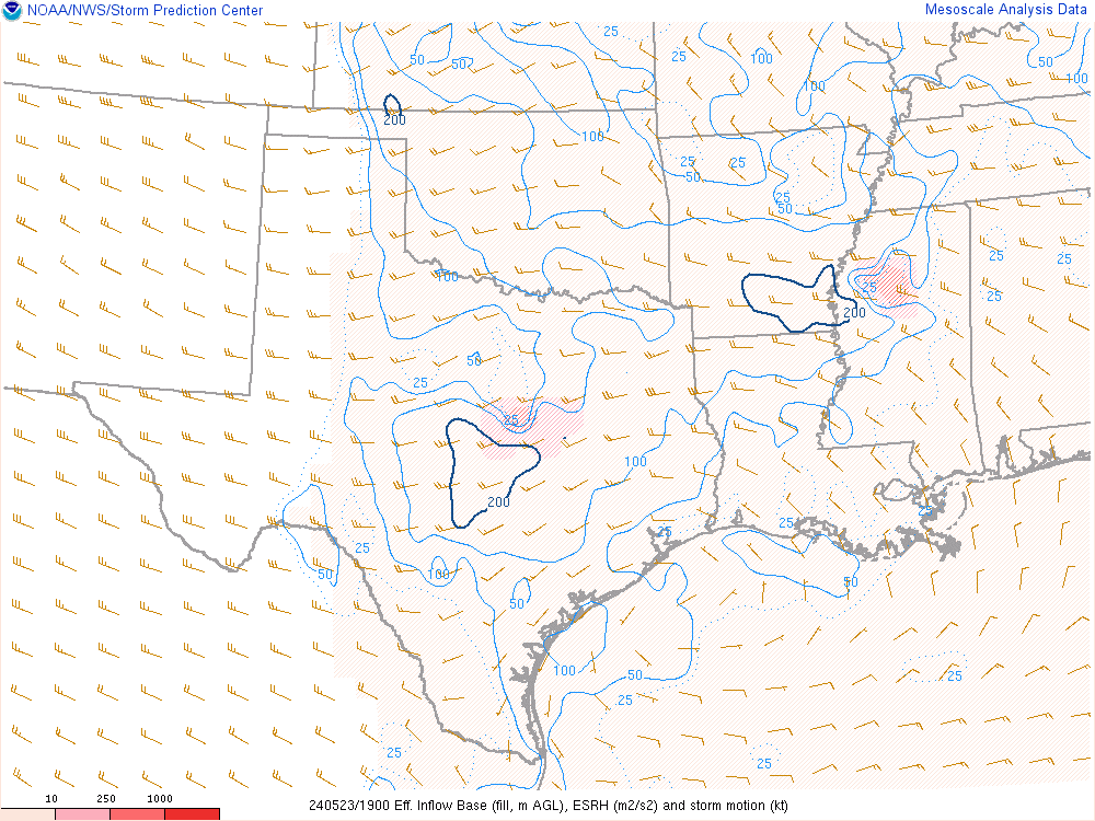
19Z SPC Mesoanalysis
I left around 2 and headed up to I-40 westbound out of Oklahoma City. A storm was trying to fire near Canadian Texas with agitated cumulus all up and down the dryline. There was a couple distinct areas of agitated cu – one in SW OK/NW TX and another in the Northern Panhandle.
Watching the visible satellite told the story. The storm near Canadian tried 3 times and failed to sustain. Capping seemed too strong. Instead of getting off at the Northwest Passage/Cherokee Trading Post, I decided to continue on to Weatherford. As I was sitting in Weatherford, I noticed Bill’s dot was just around the corner. We hung out in Weatherford for a short while before heading southwest.
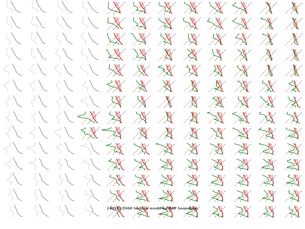
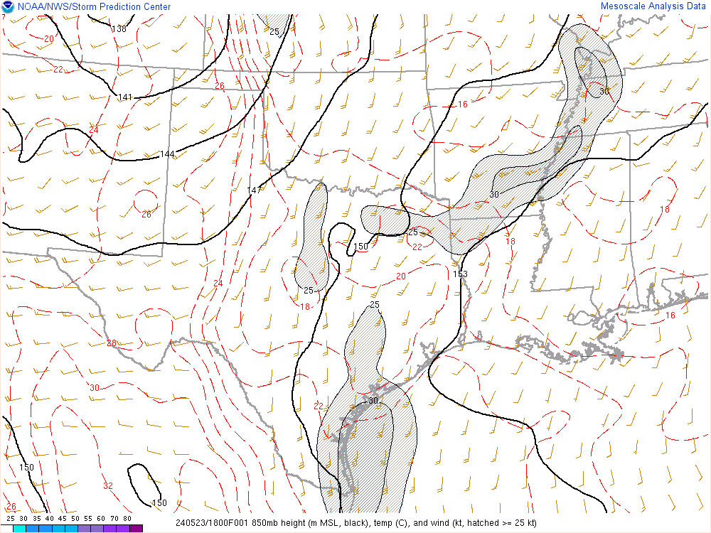
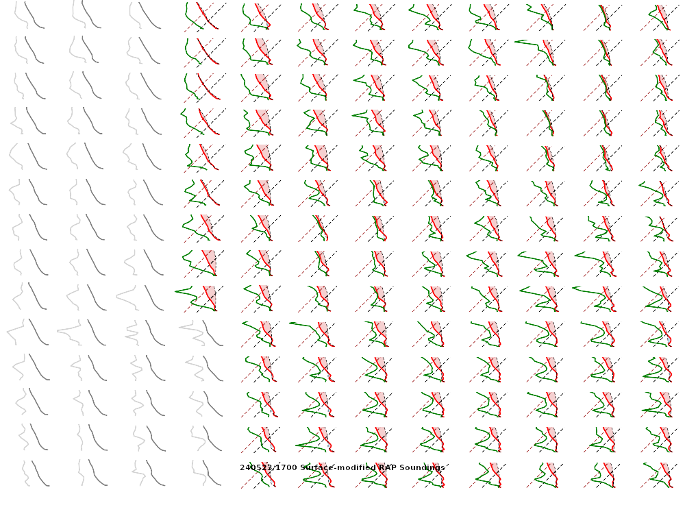
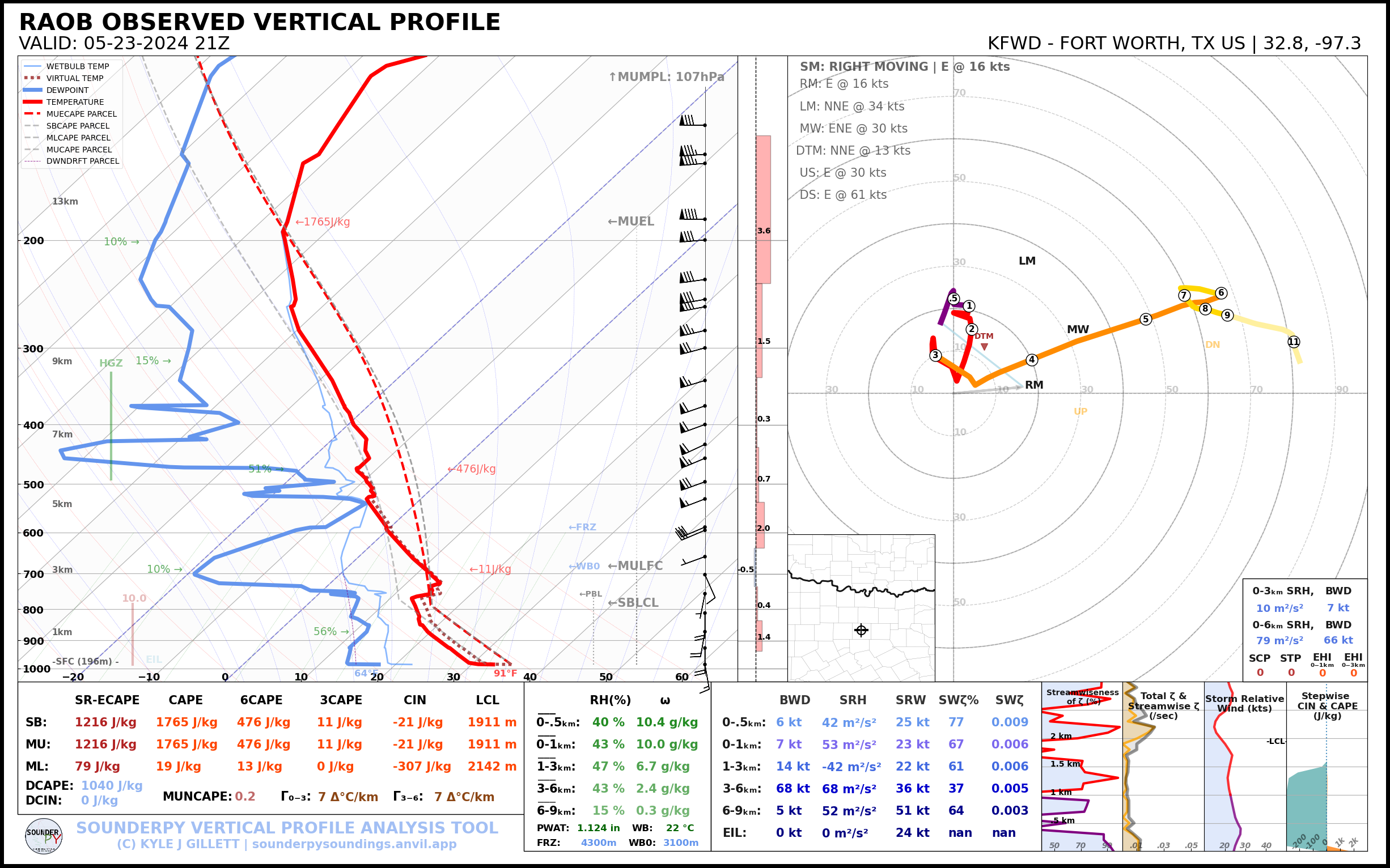
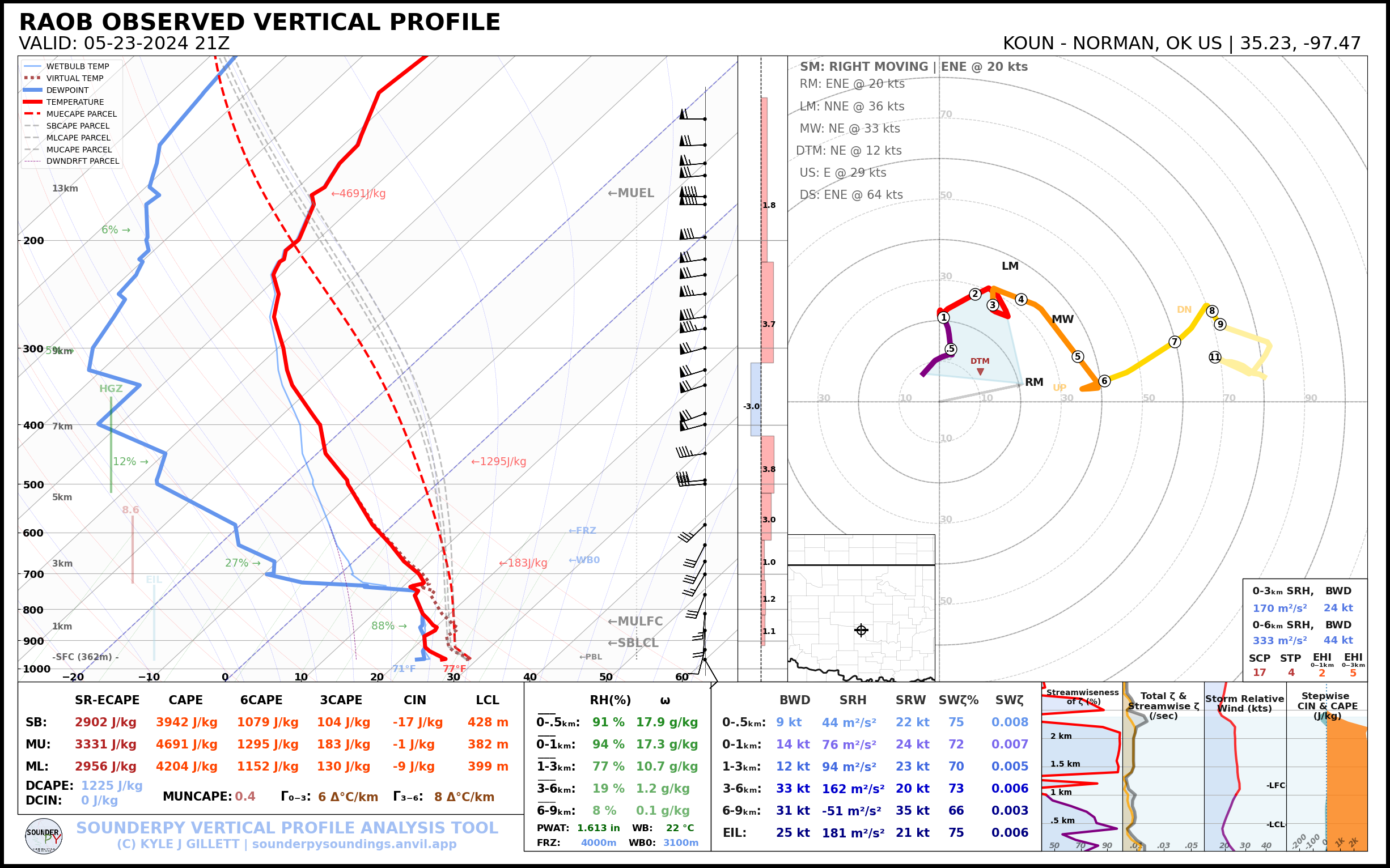
20Z Special Soundings
Leaving Weatherford, Targeting Mangum

The KTLX VAD looked pretty good, however, and there was a severe warned storm in Oklahoma City metro. A lot of hail reports had come out and the storm didn’t look like it would get its act together. About 4:15pm while the storms at the state line were developing, we decided to part ways and head towards the storms. Bill headed to the one near Sayre, while I just headed down to Cordell, Hobart, Mangum and then towards Gould.

Cell Merger/Interactions
Multiple storms had gone up nearby, and updrafts were competing. I hung out around Gould before dropping south of US62 at some point. Navigating the gridded dirt roads of rural Harmon and then Jackson counties was a little challenging, but the roads were still in good shape.

Landspout?
This appeared to be a landspout and appeared on the southern side of the storm early in the evolution.
I saw a few other chasers, but mostly stayed by myself south of the storm on dirt roads northwest of Eldorado. I also saw a little dust devil spin up in the field next to me.
Wrapping up
I continued to watch the cell wrap up. On this time lapse below, you can see the inflow region wrapping up. This was probably 10-15 minutes tops before tornadogenesis. I navigated south and east to keep up with the storm. As I continued east, I had to maneuver around a hole in roads for a creek
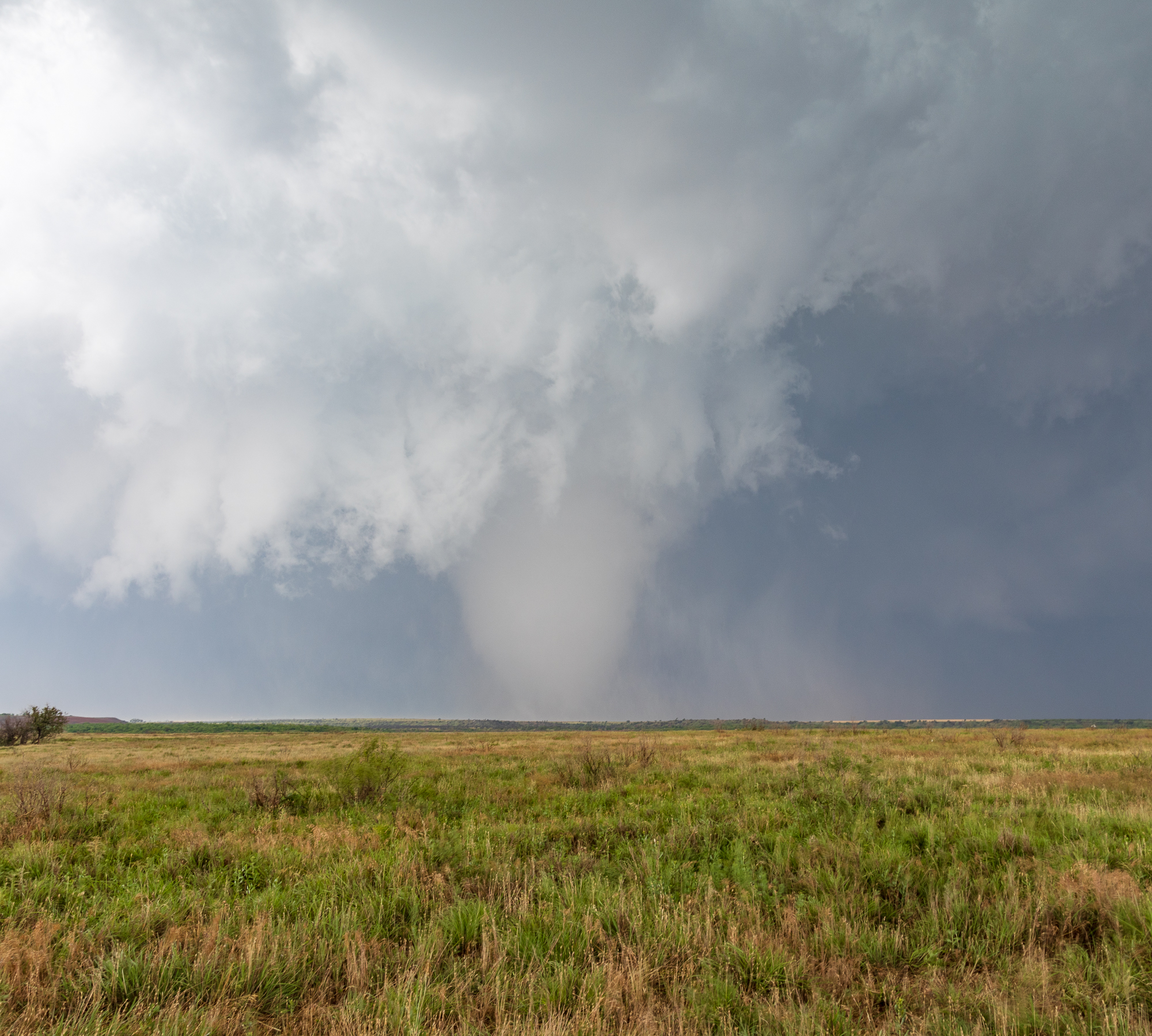
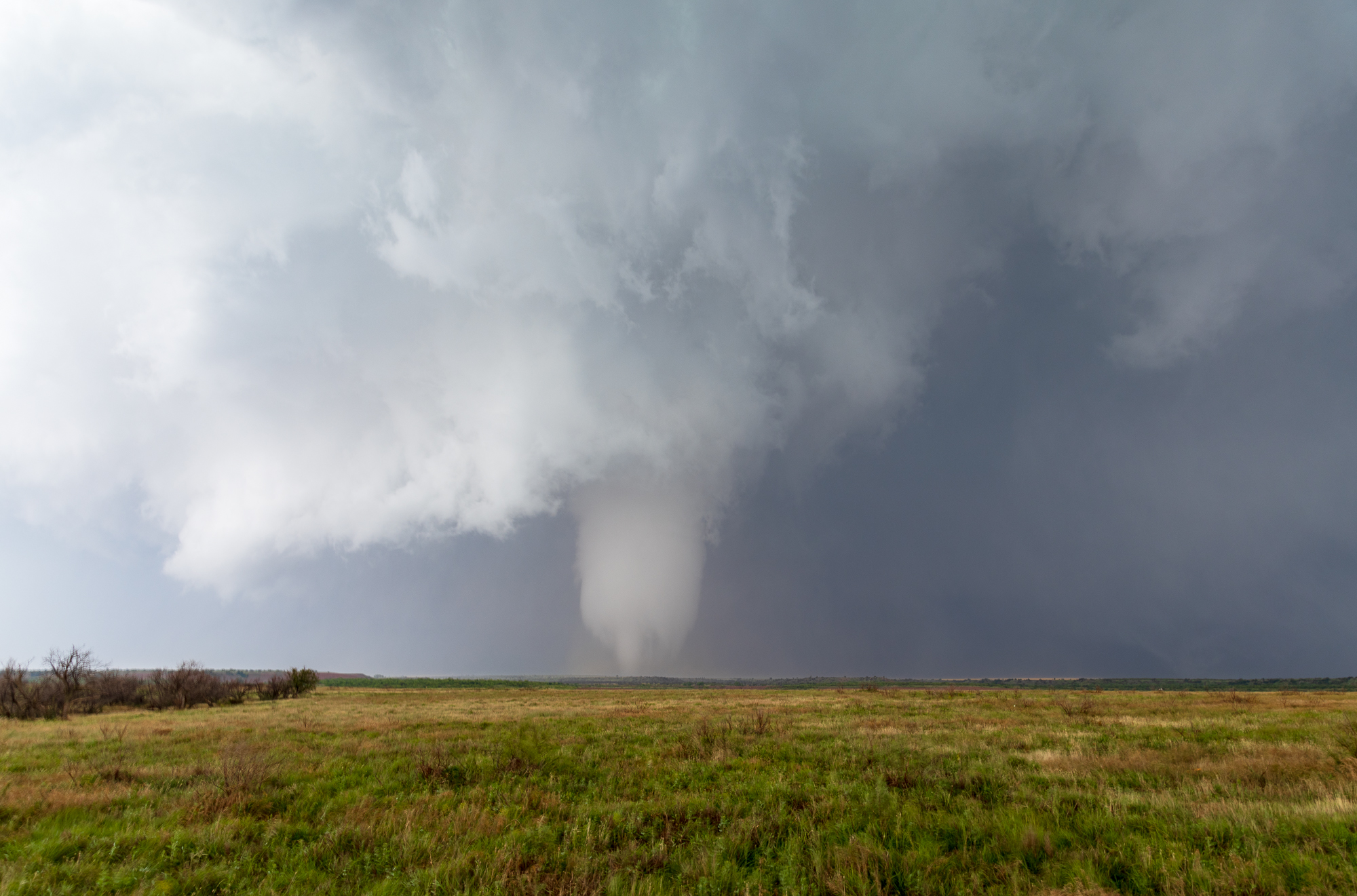
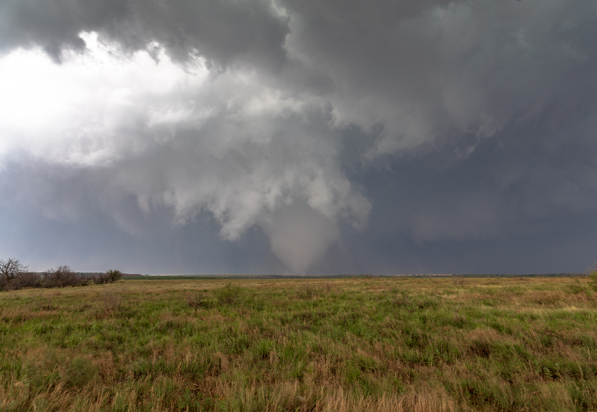
Eldorado Oklahoma Tornado
With the wall cloud/mesocyclone spinning like crazy, I started seeing vortices dancing underneath. I found myself on E1870 road heading north into a circulation. I ended up a little close as the circulation moved towards me.
I got blasted with dirt as I turned around and headed back south to a more reasonable spot to view the tornado. The whole spinning atmosphere had gone beast mode. I navigated my way around the maze to get back to highway 34. Instead of heading north towards the weakening circulation, I continued east. My map showed the road going through. It didn’t go through, as we found out. Luckily it was after the Olustee Tornado.
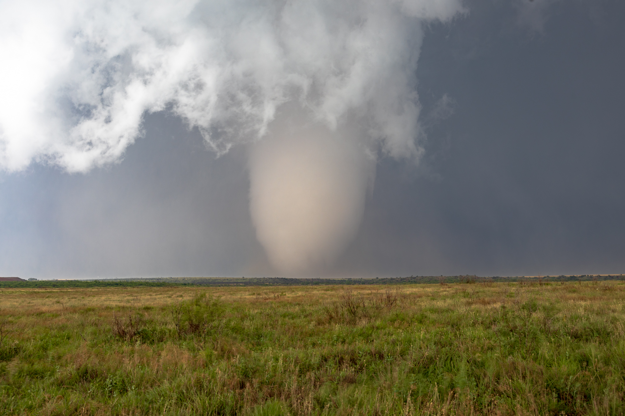
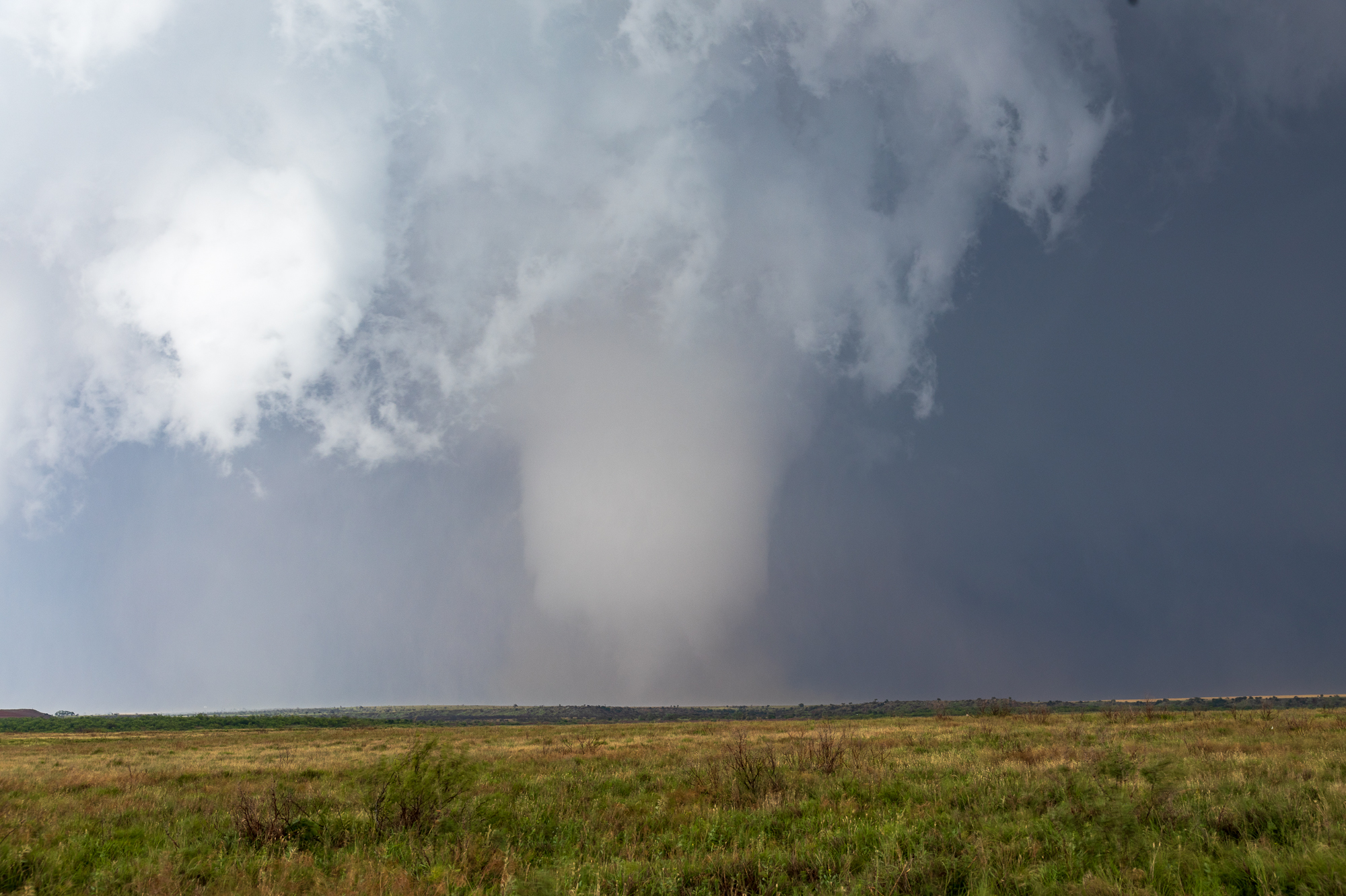
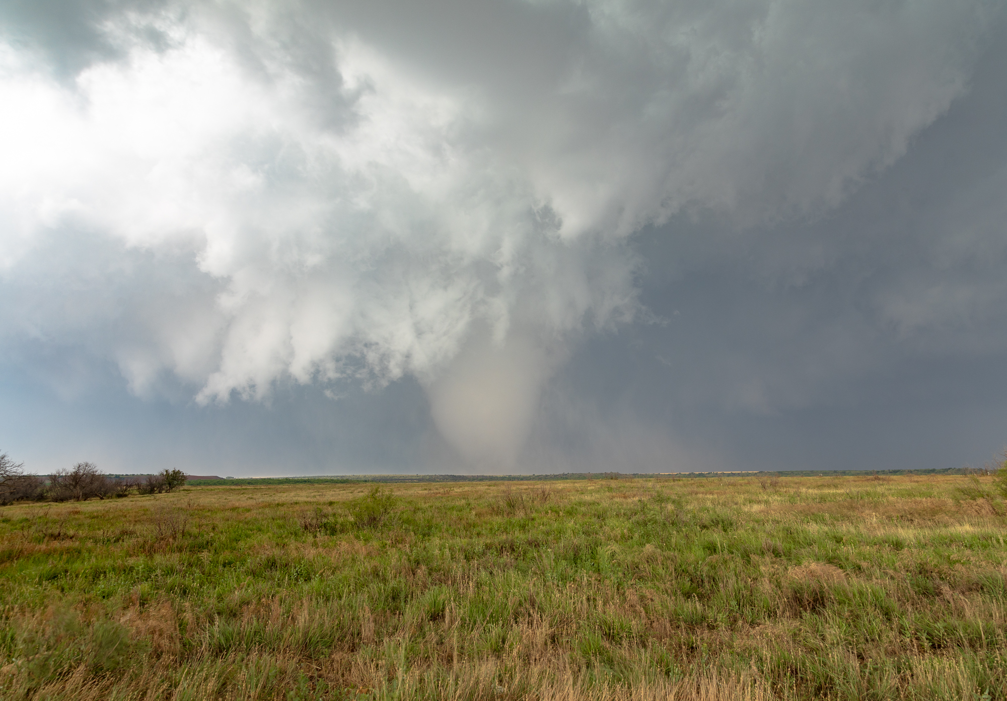
Olustee Oklahoma Tornado
Right after the first tornado dissipated, this tornado seemed to form right away and it was PHOTOGENIC. I had started heading back west to highway 34 so I could go north 2 miles to E 1690 Rd. when I looked over and saw a beautiful and photogenic tornado down. I set my gear up on Tripods and recorded the whole show, snapping photos.

Dissipation and repositioning
As we found out, the road we were on dead ended into a gypsum mine. We had to back track down by the Atlas Missile Silo and then to highway 6. I took highway 6 east through Olustee and then up towards Altus. I had considered dropping south to Elmer to get around the Salt Fork river, but the circulation had occluded off to the northwest and was close US62.
I encountered small hail as I went east on 62 into Altus and then south on US283. I took that south to E 1690 Rd which was paved. I’d be able to travel east with the storm some before finally heading up to US62 and east.
00Z Soundings
Nightfall and Heading home
Eventually I decided that it was getting dark and was time to start heading home. A successful day, and about a 2 hour drive home. One of the most picturesque storm chases I have ever had.
Links
- National Weather Service Norman write-up of the May 23rd event
- My Eldorado Oklahoma Tornado Video
- My Olustee Oklahoma Tornado Video
- Stormtrack Reports Thread for May 23rd, 2024
- Brett Roberts recap of the May 23, 2024 event
- Chris Kridler’s recap of the 5/23/24 event
- Brad Nelson’s recap of the Eldorado Tornado


