Storm Chase Details
Miles Logged: 352
States Chased: OK
Severe Risks: SPC Outlooks
Severe Reports: Storm Reports
This would be another hyped Oklahoma day with a 15% hatched chance of tornadoes according to SPC. Some very ominous wording in the outlooks
The end result will be a rare combination of instability and shear across the Moderate Risk area, with potential for particularly strong tornadoes, wind, and extreme hail.SPC 1730Z Day 2 outlook May 24, 2024
This would fail to materialize in spectacular fashion. A left split on an early storm would send a stabilizing wave across Oklahoma, leaving us chasers frustrated.
Forecast
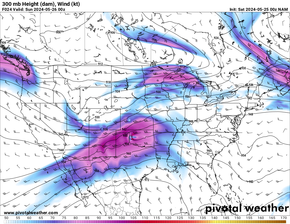
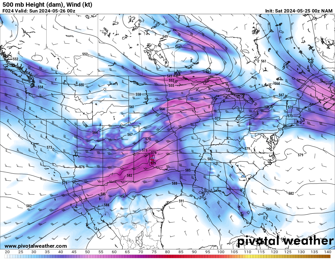
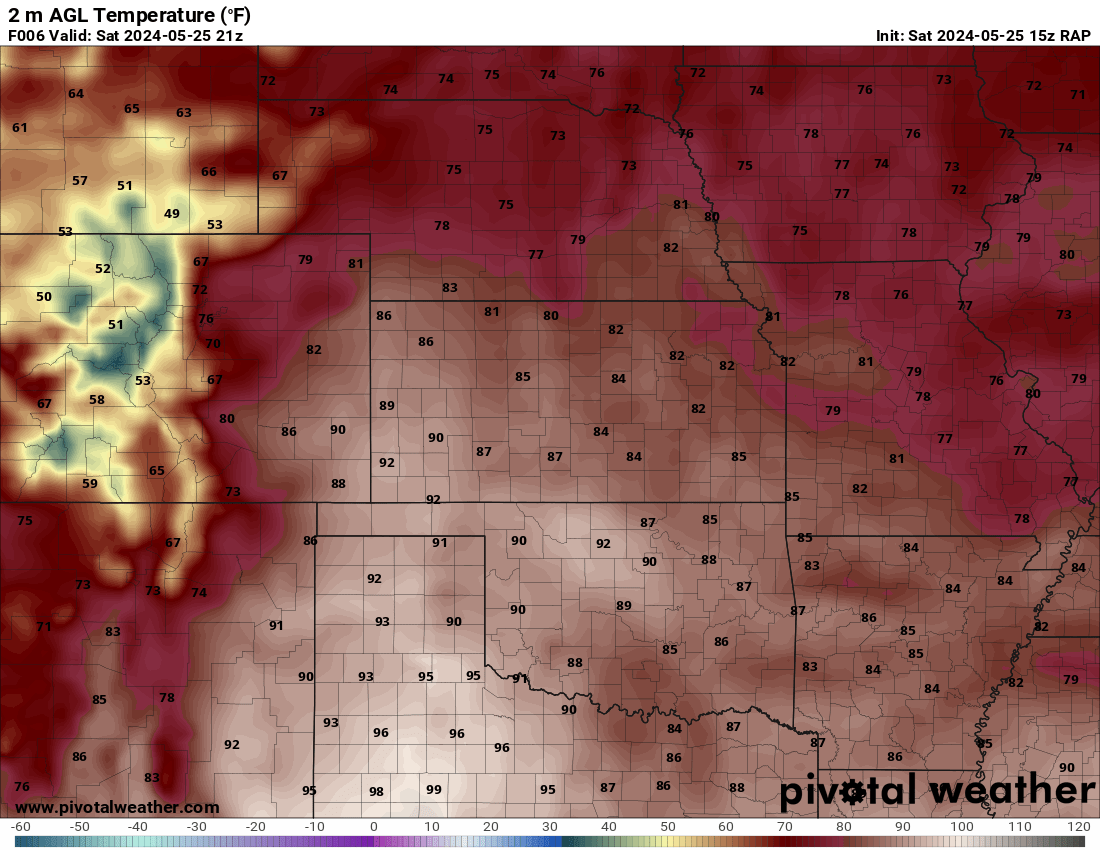
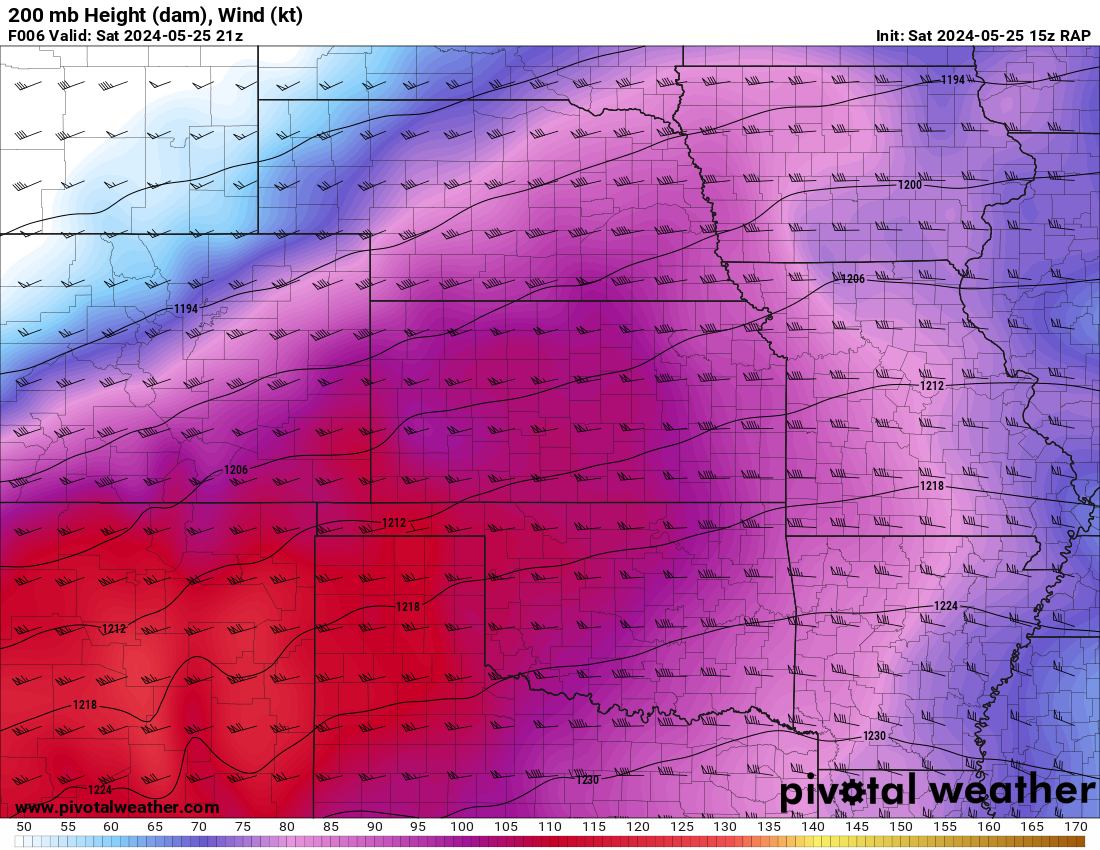
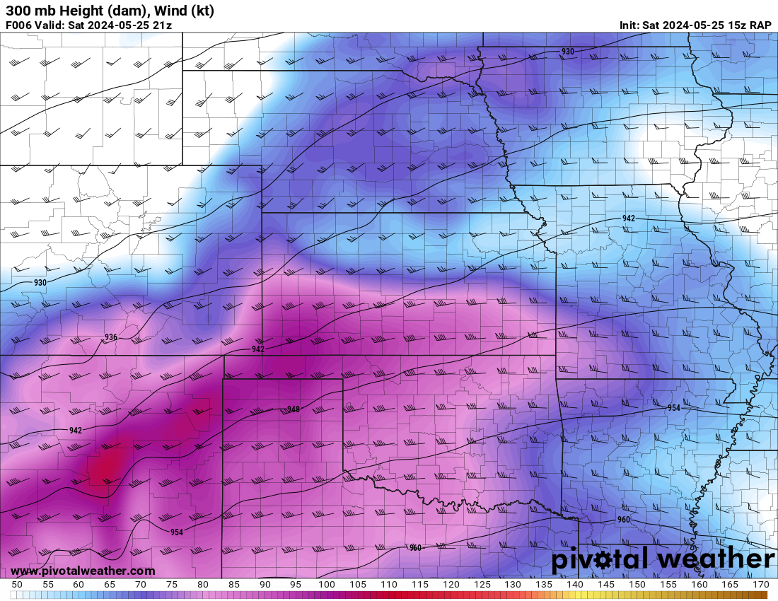
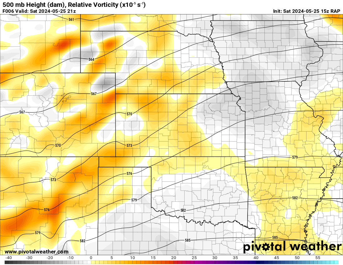
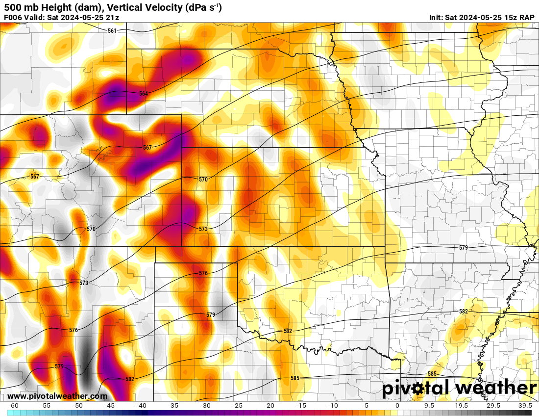
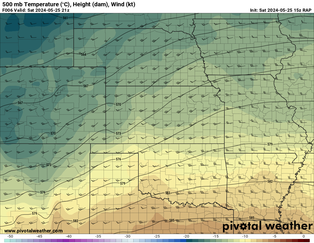
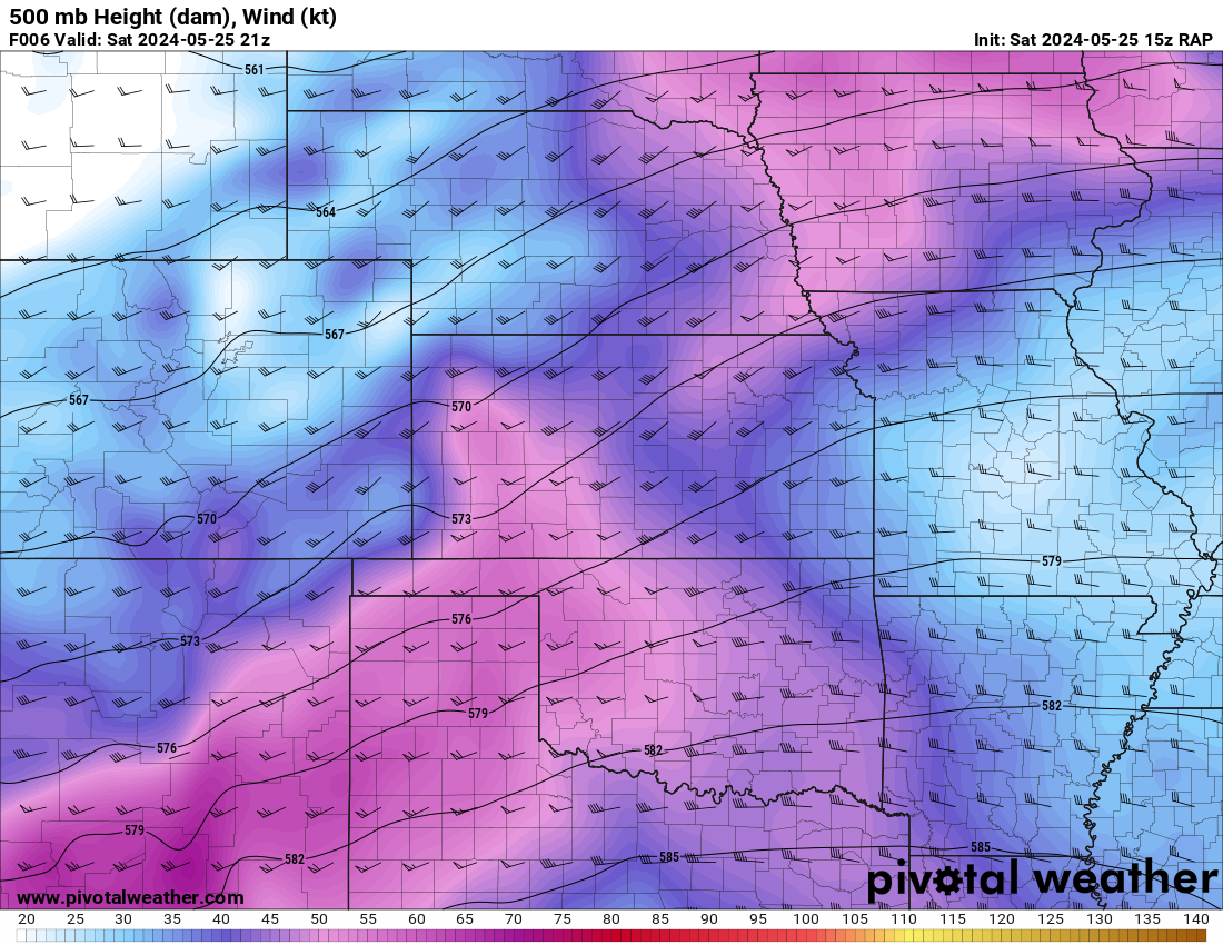
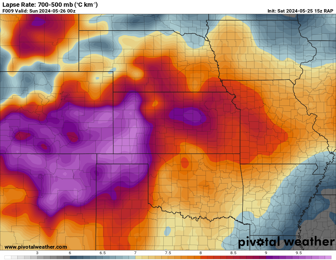
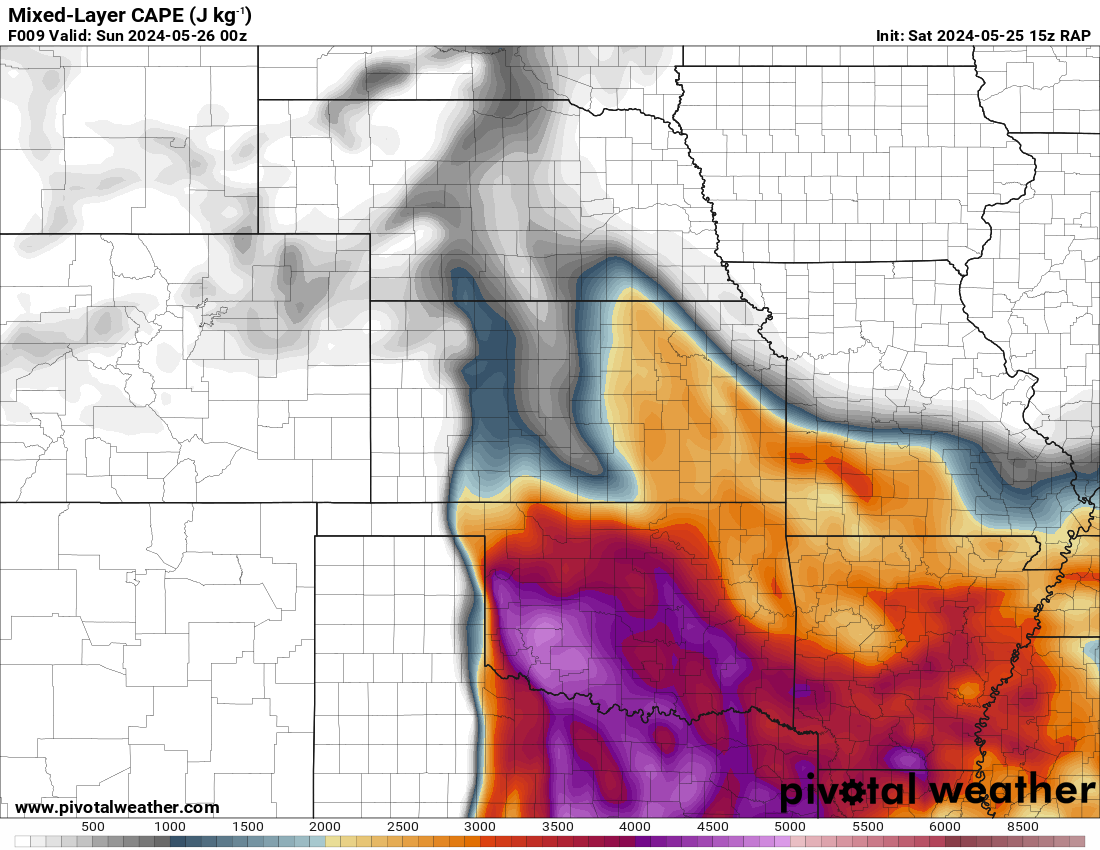
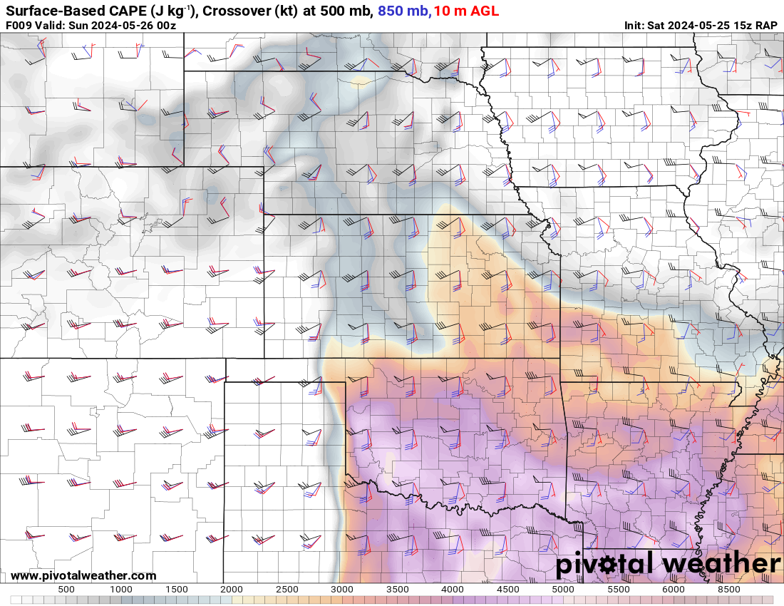
The forecast all week was for a big day. The upper air pattern depicted by the NAM was very favorable for tornadic supercells with a strong jet stream over a very unstable air mass.
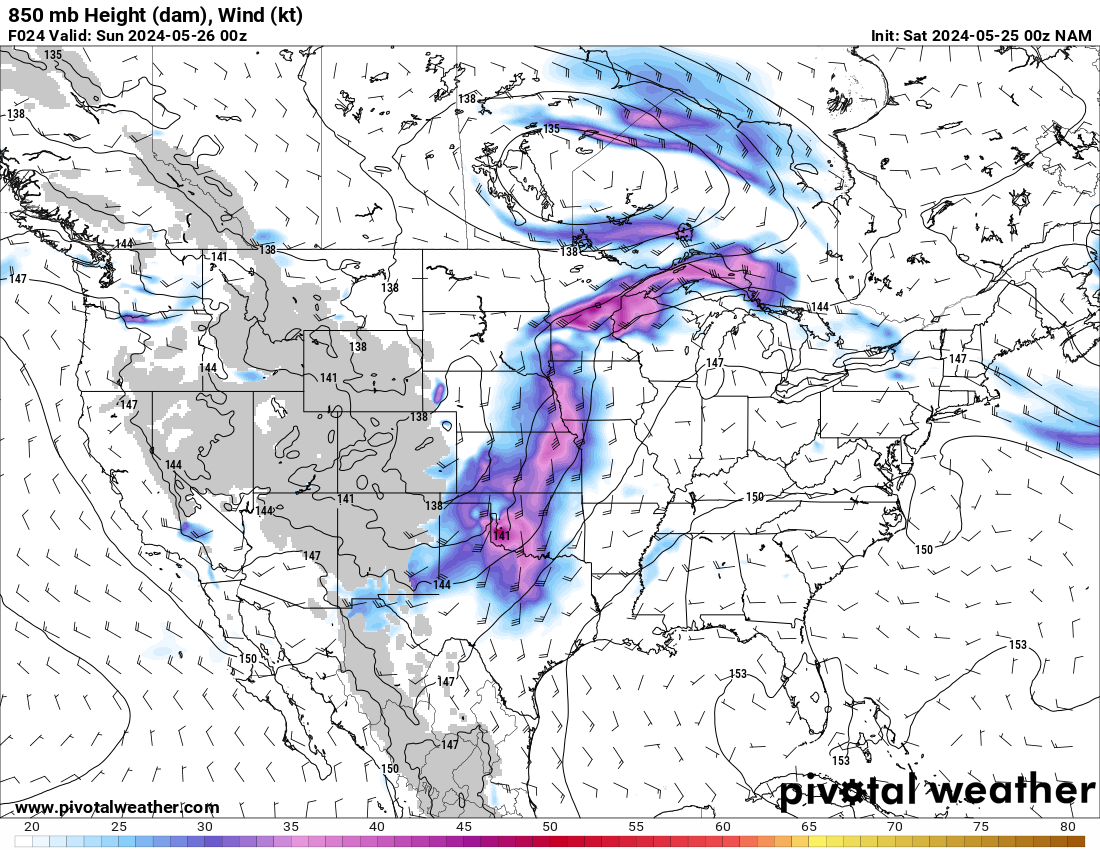
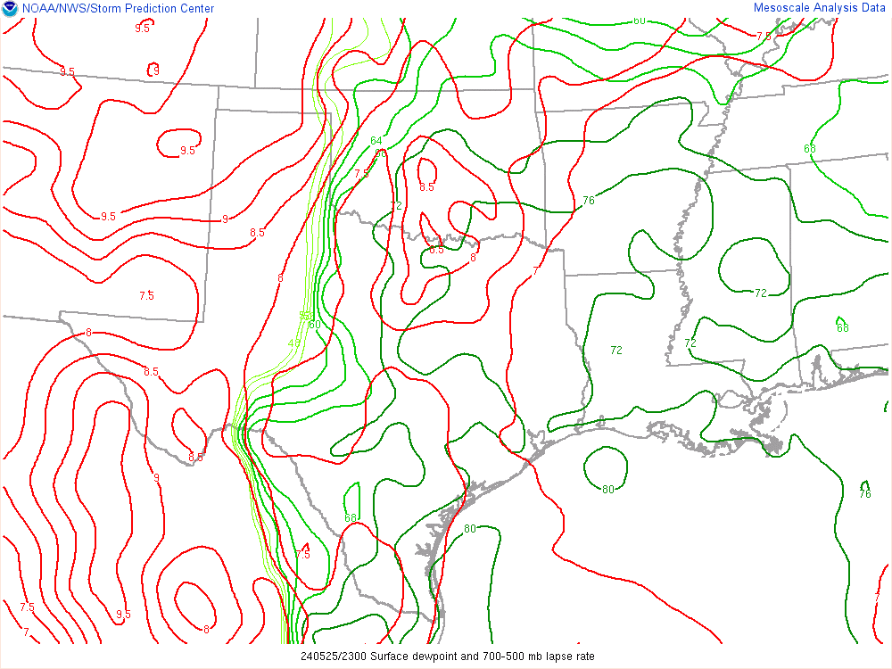
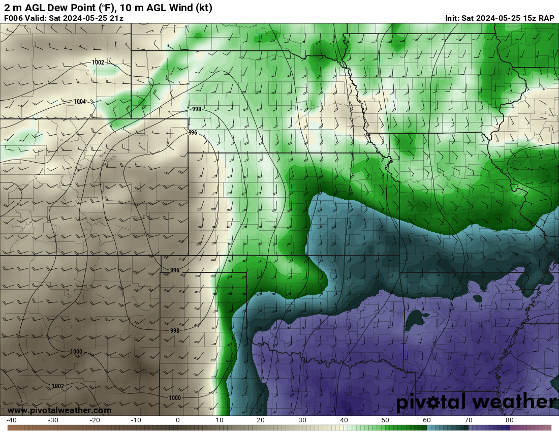
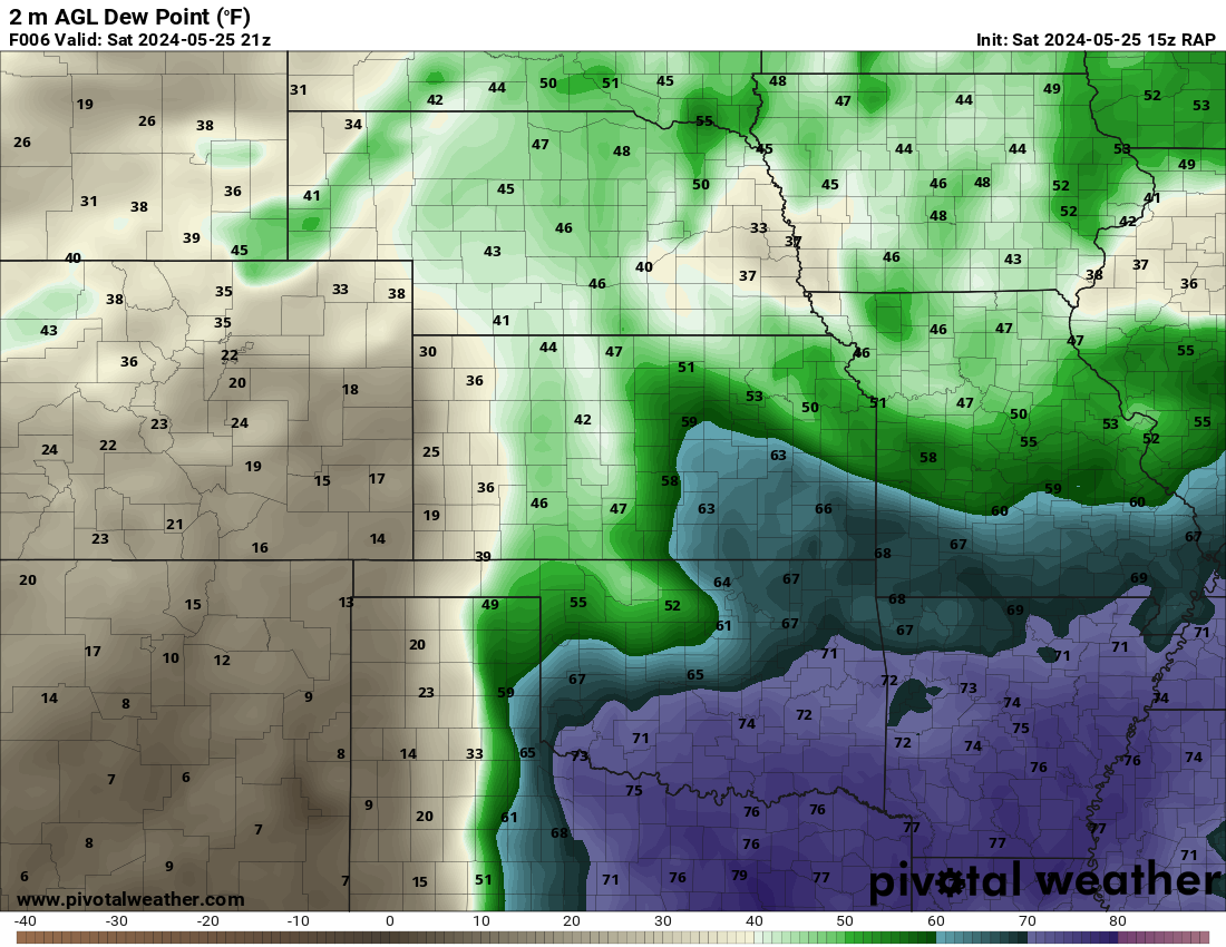
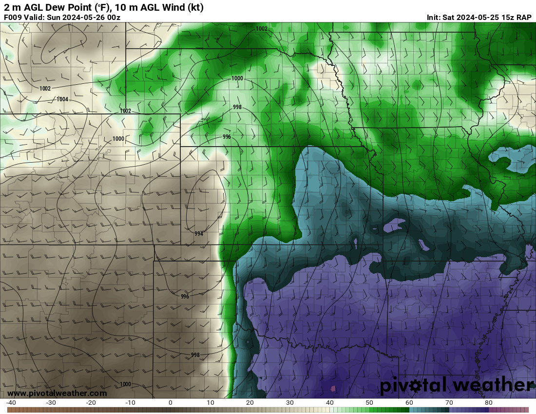
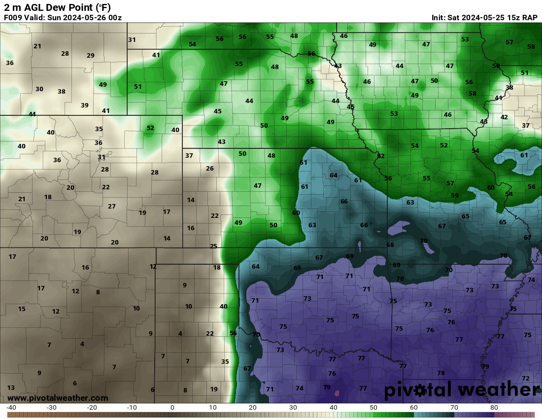
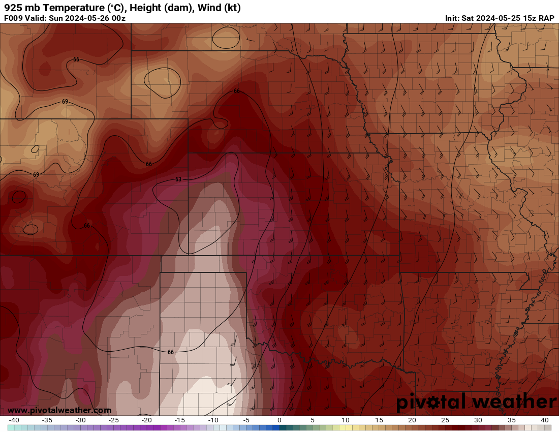
Mid 60 to 70 degree dewpoints were in place over the area in question the morning of the 25th. A warm front was rapidly moving northward as a low deepened in Colorado.

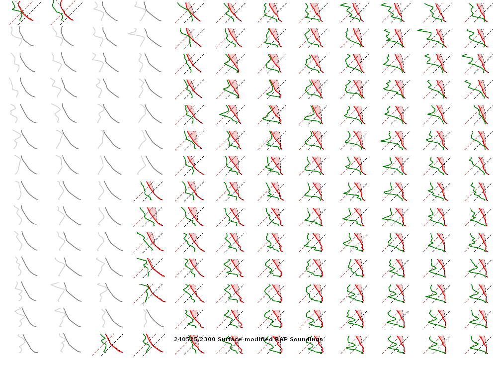
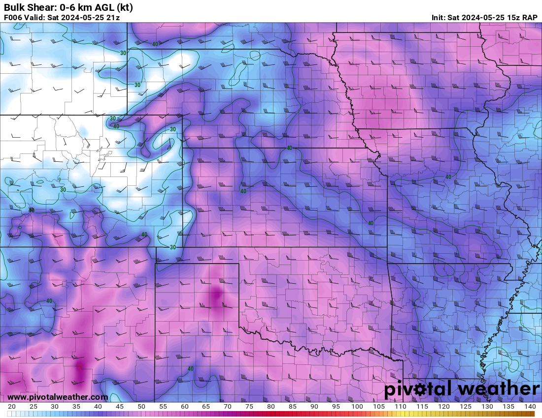
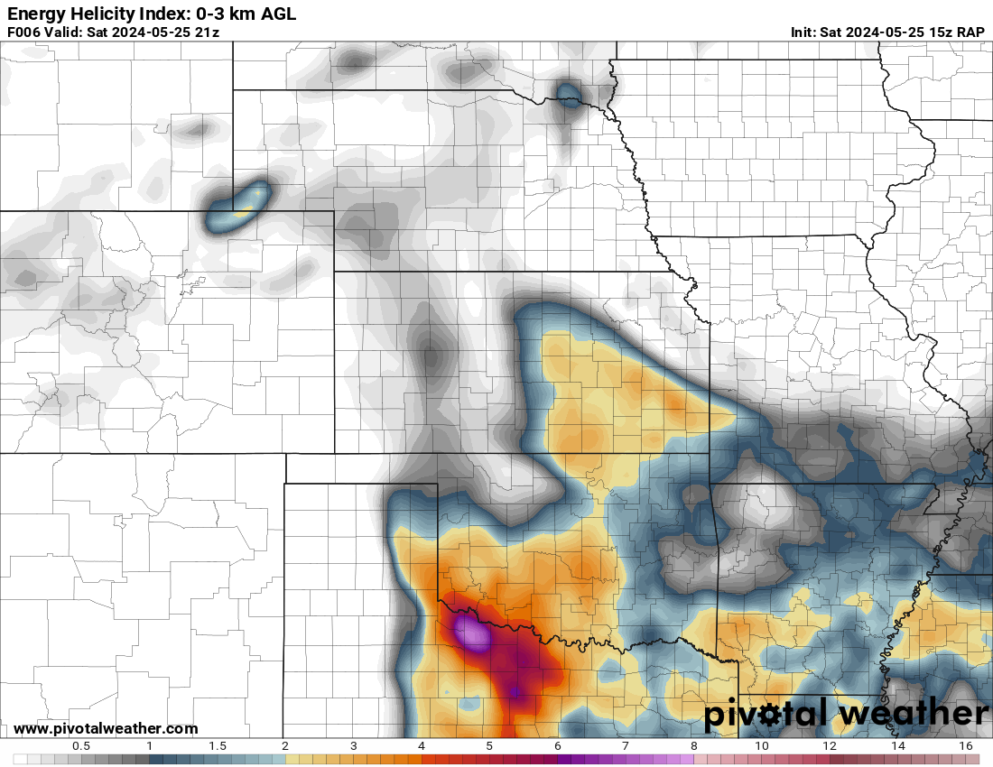
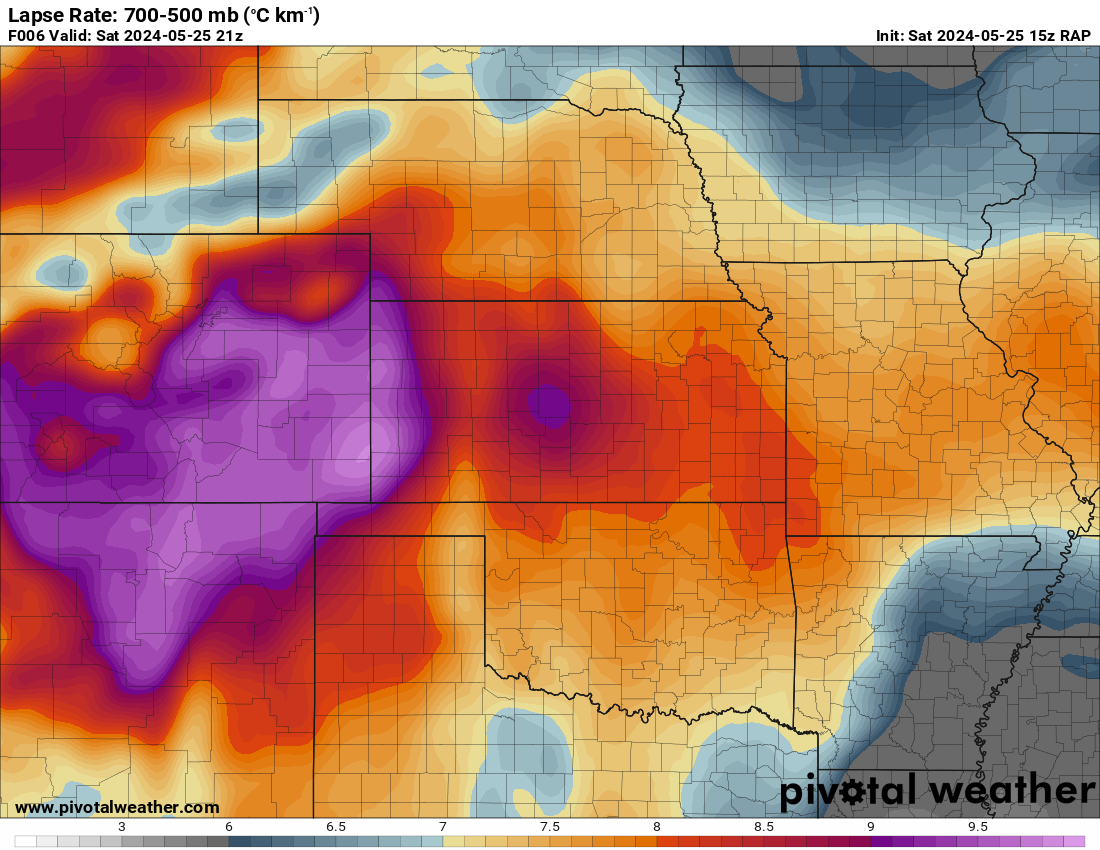
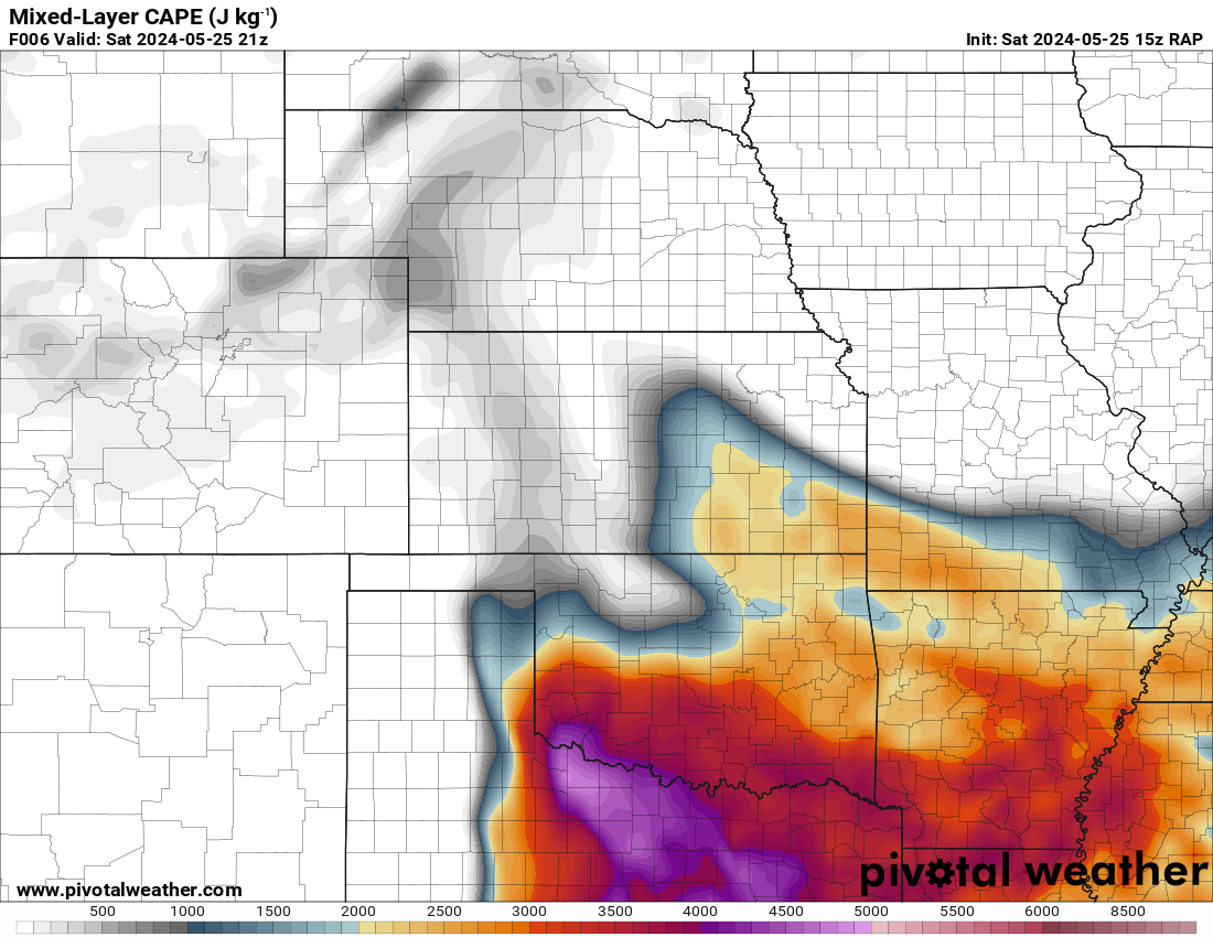
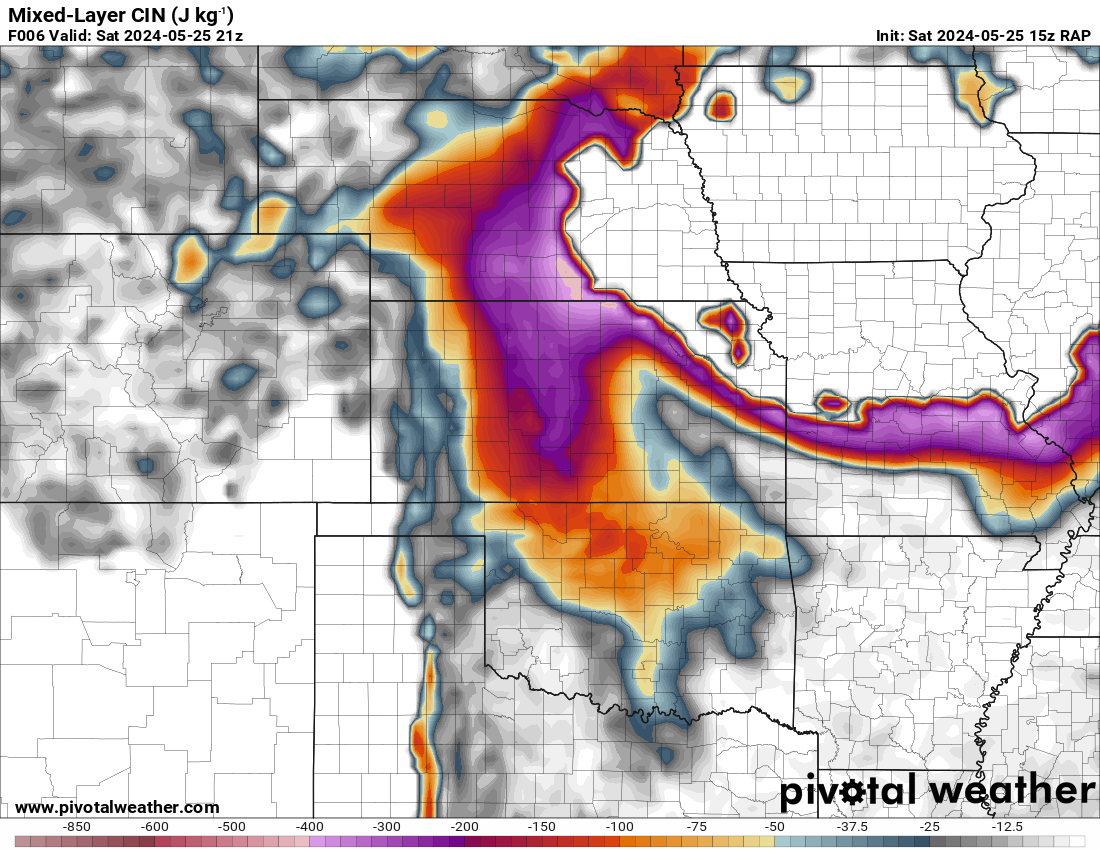
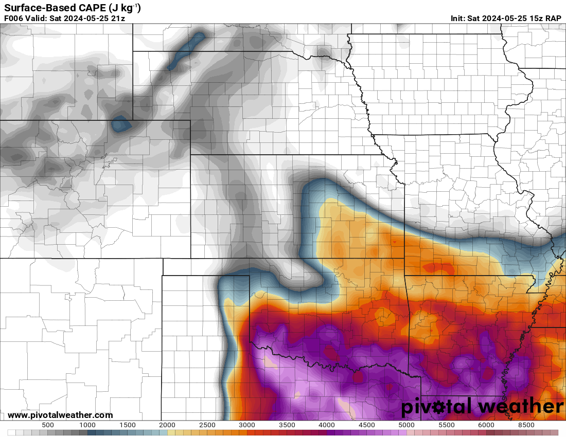
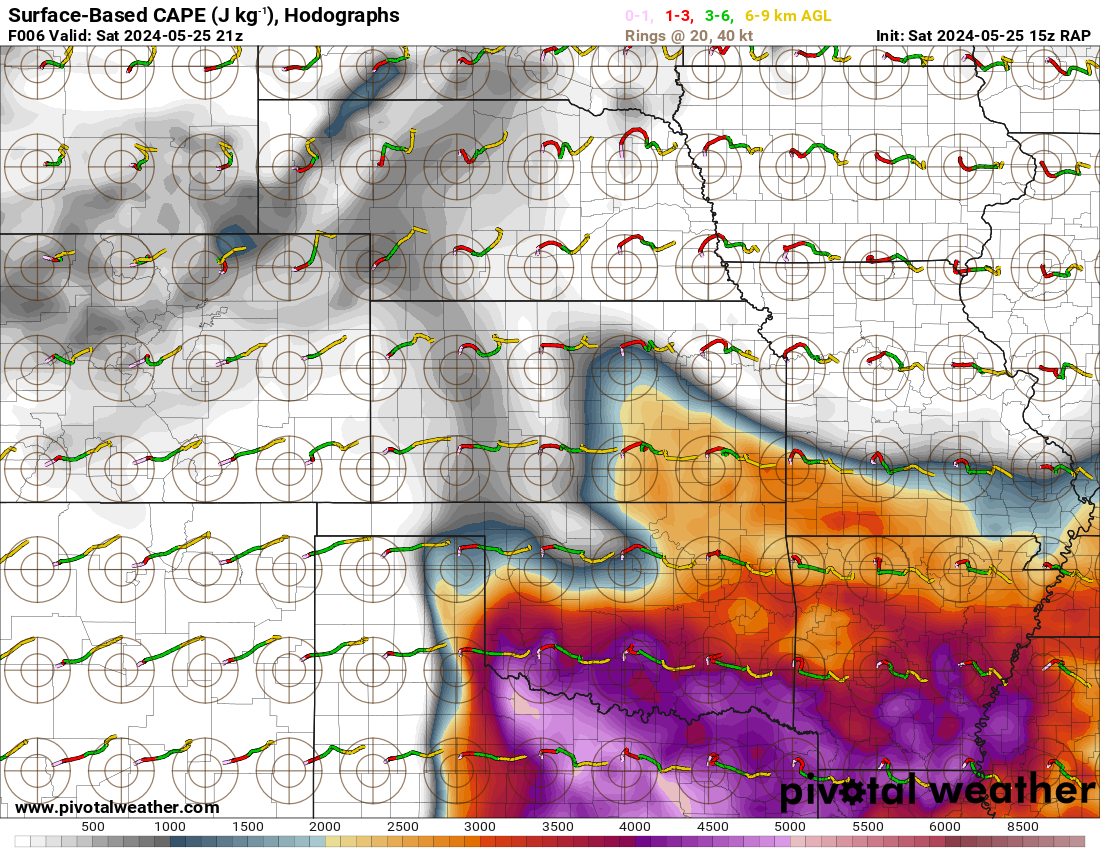
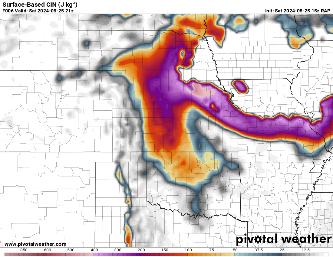
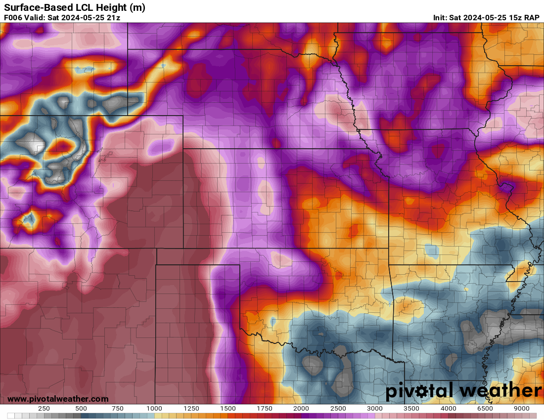
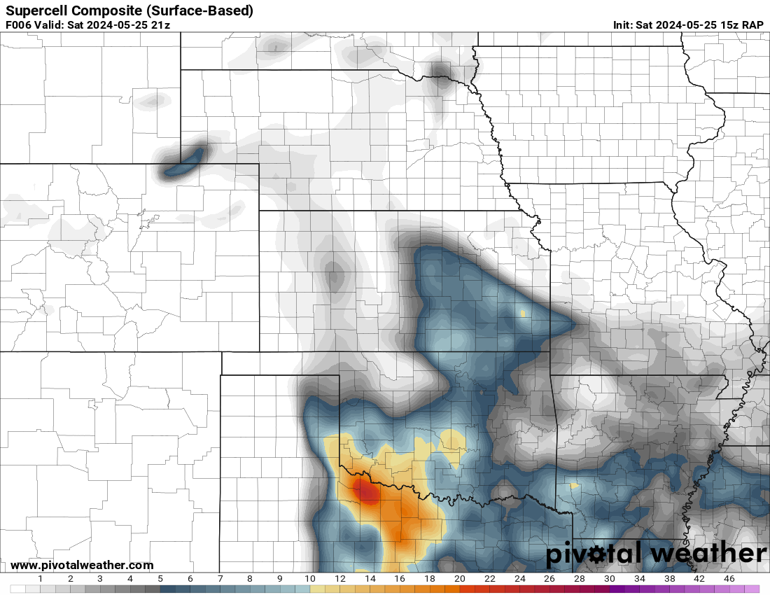
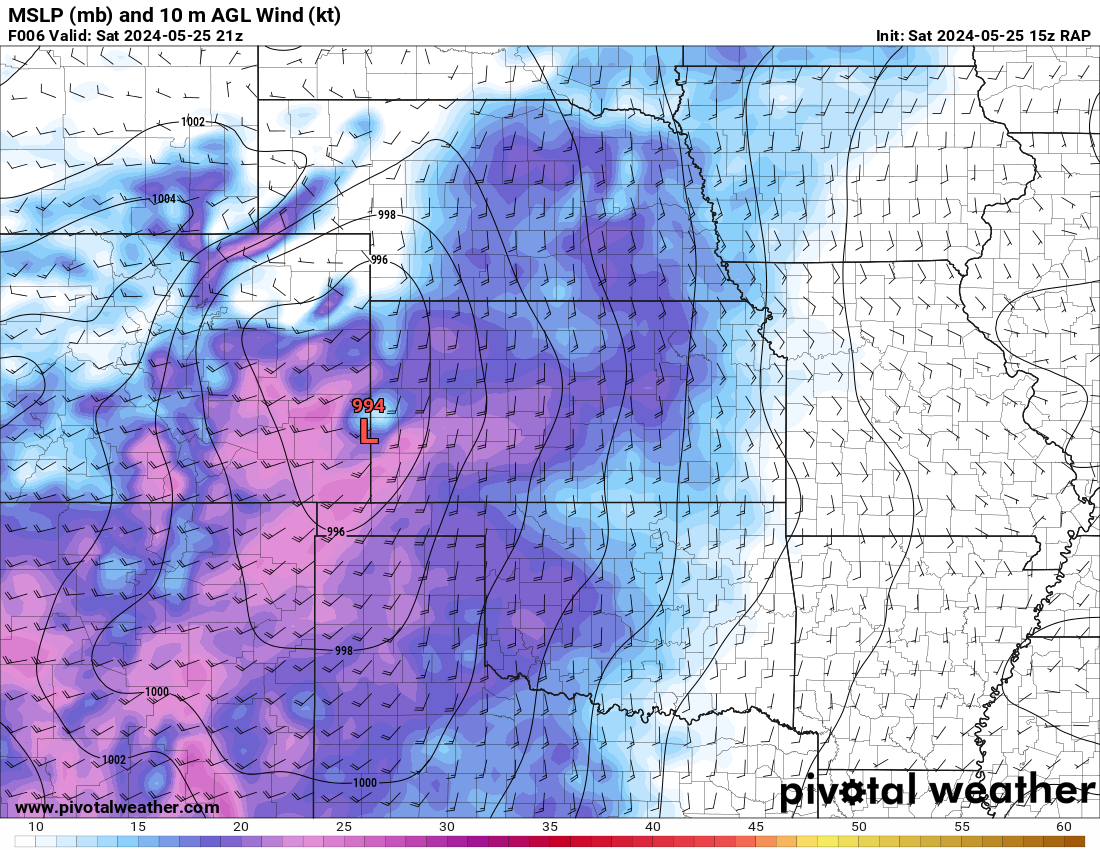
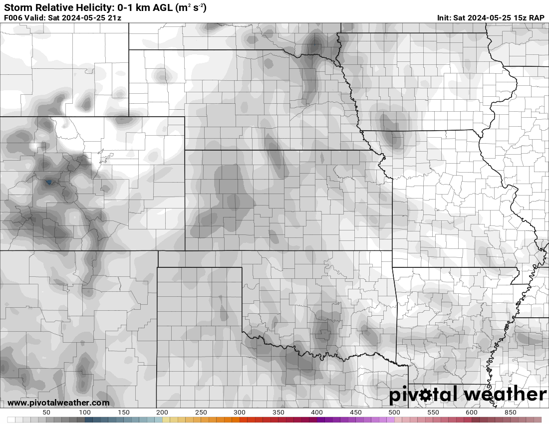
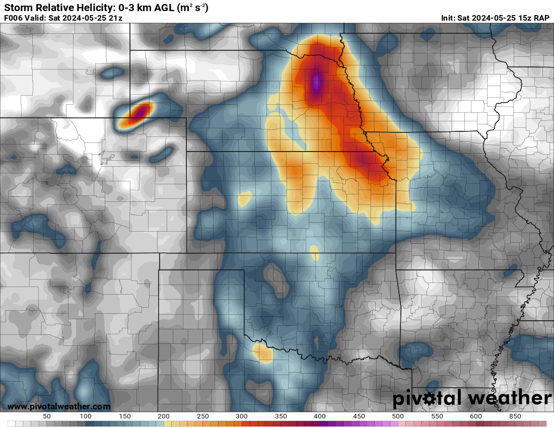
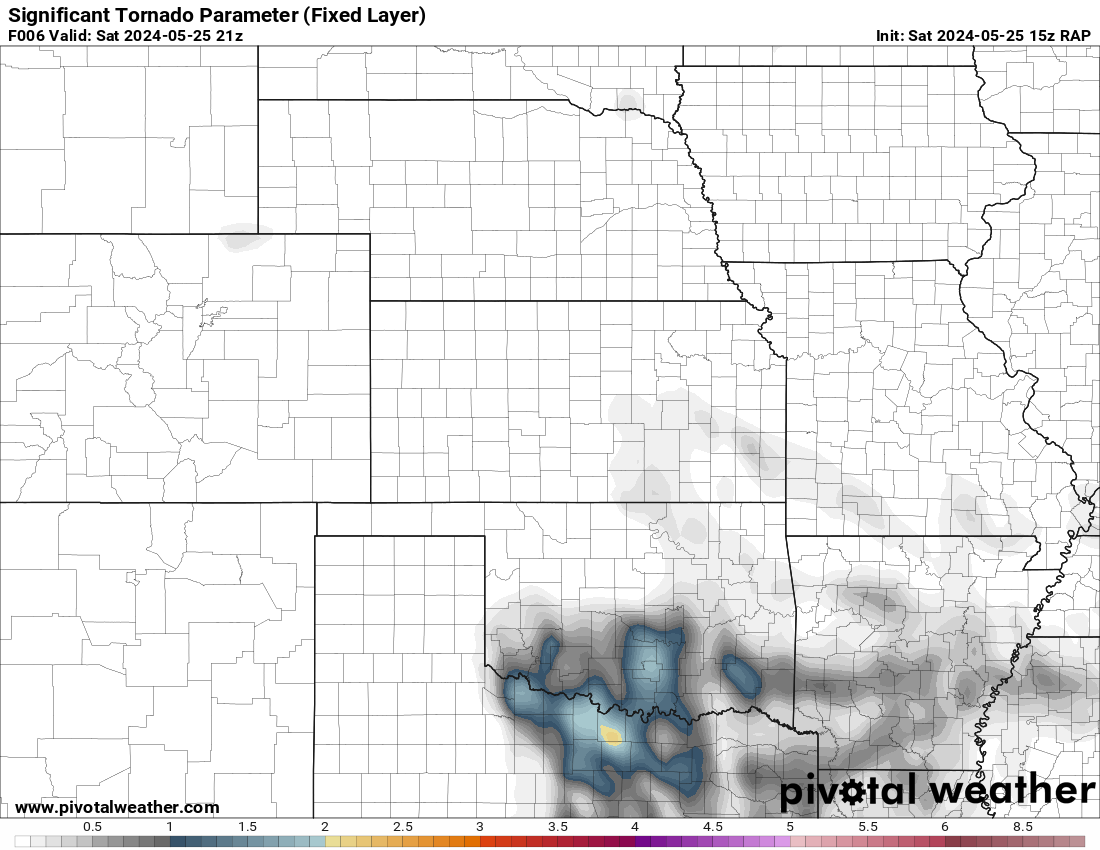
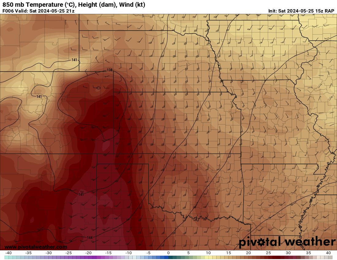
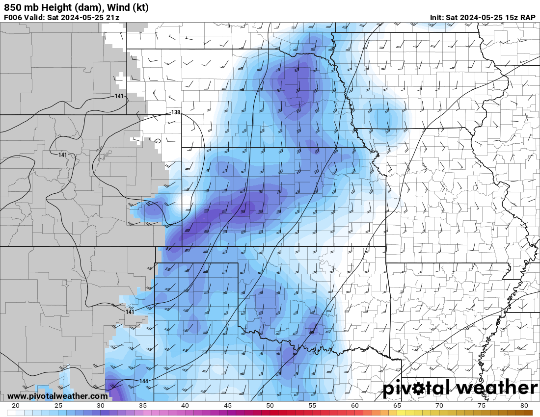
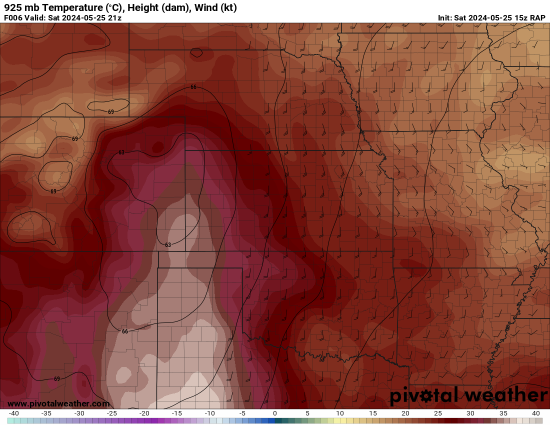
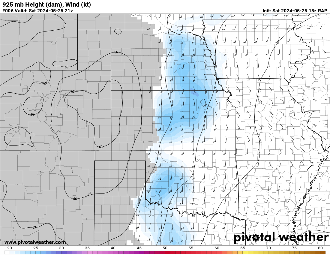
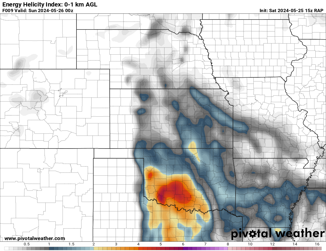
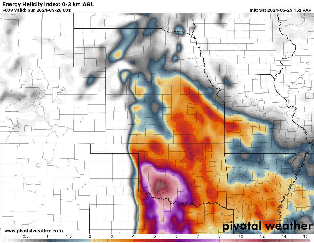
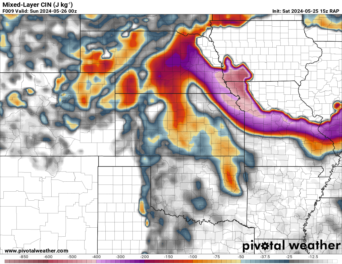
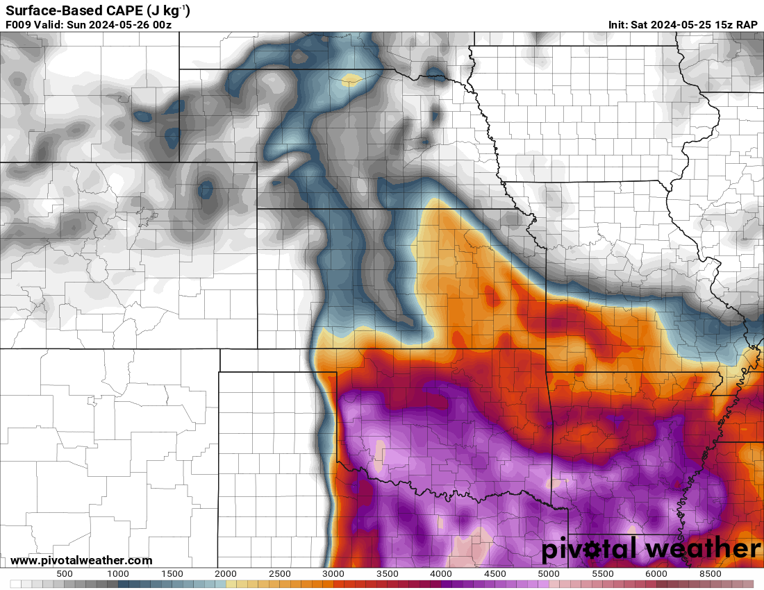
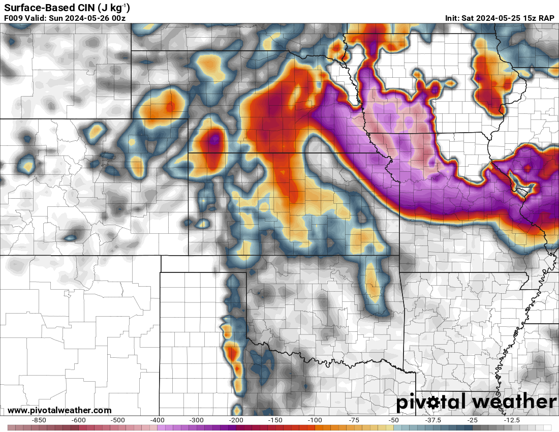
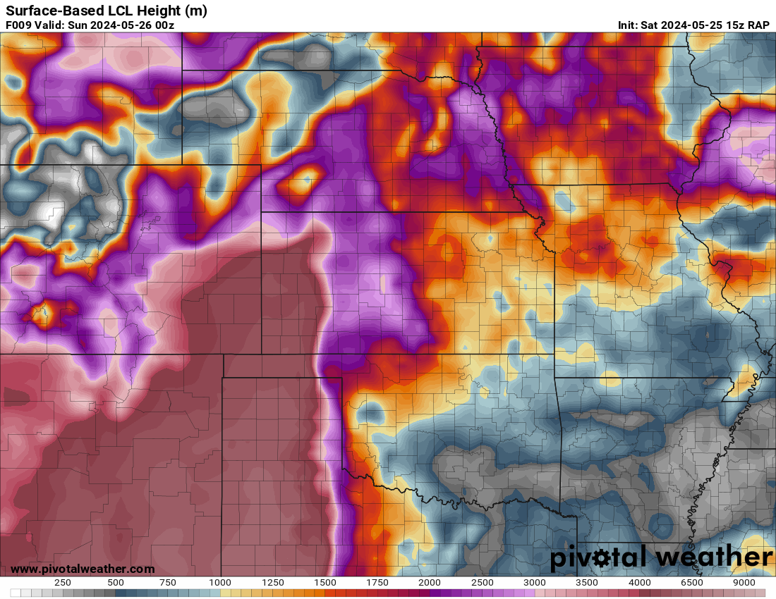
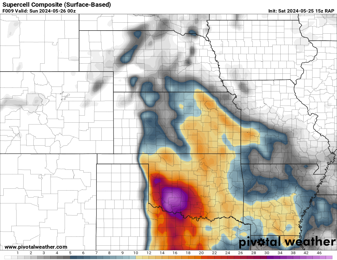
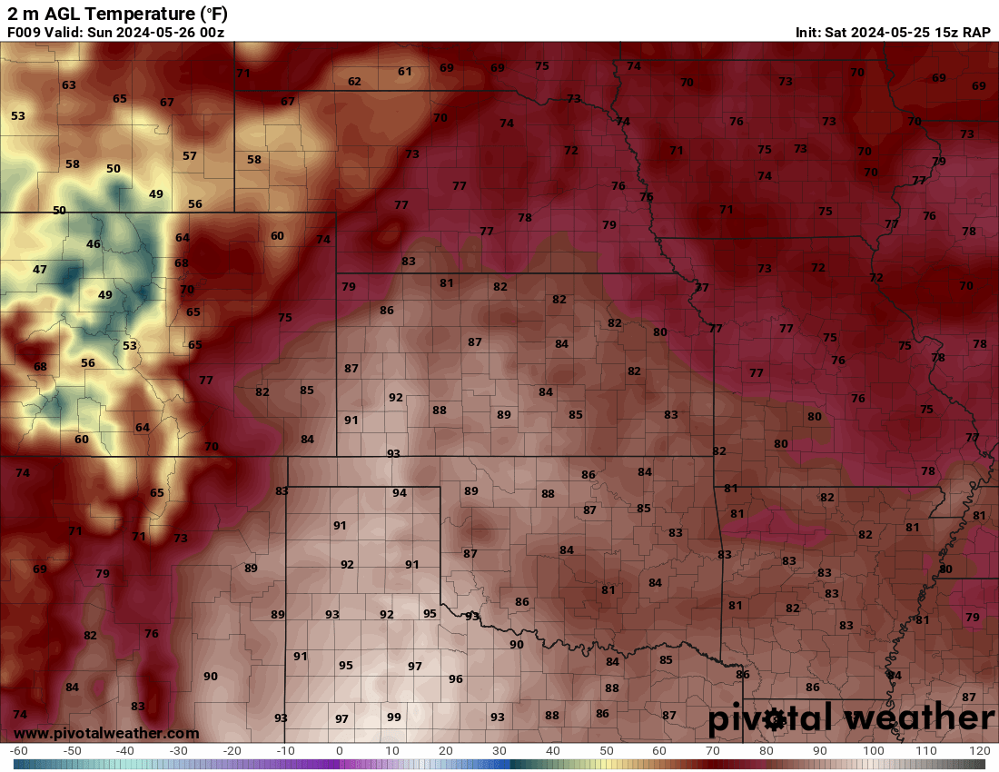
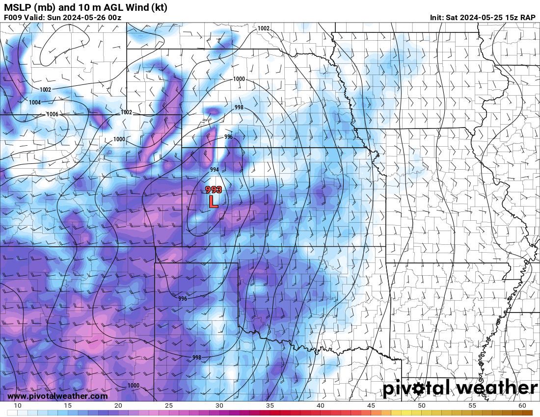
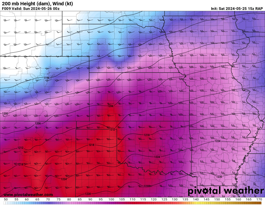
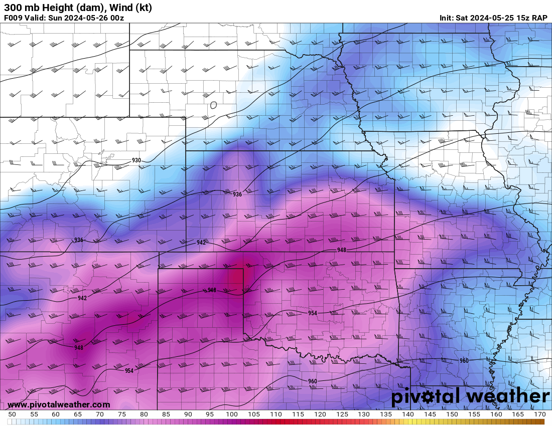
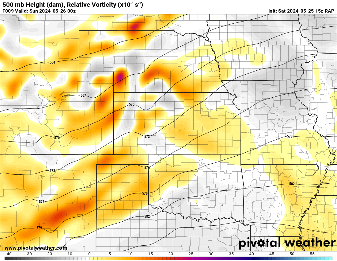
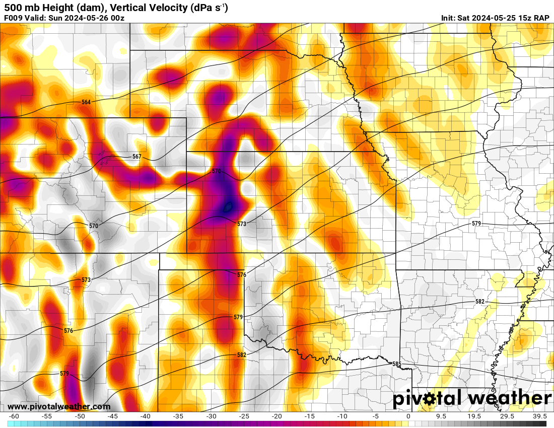
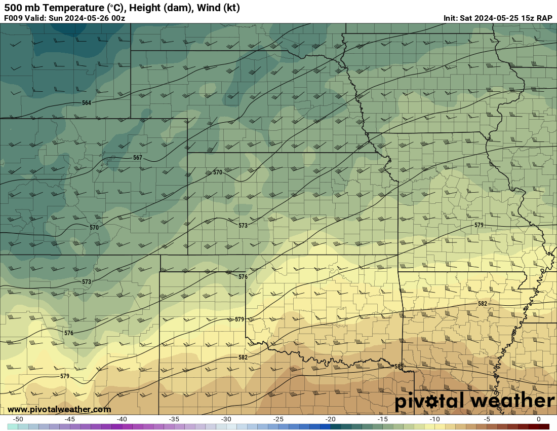
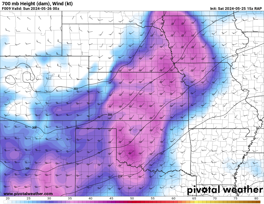
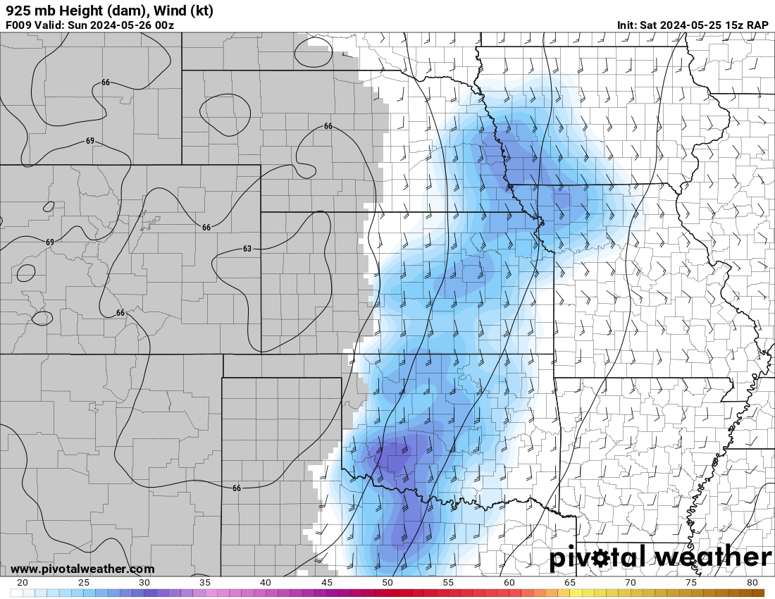
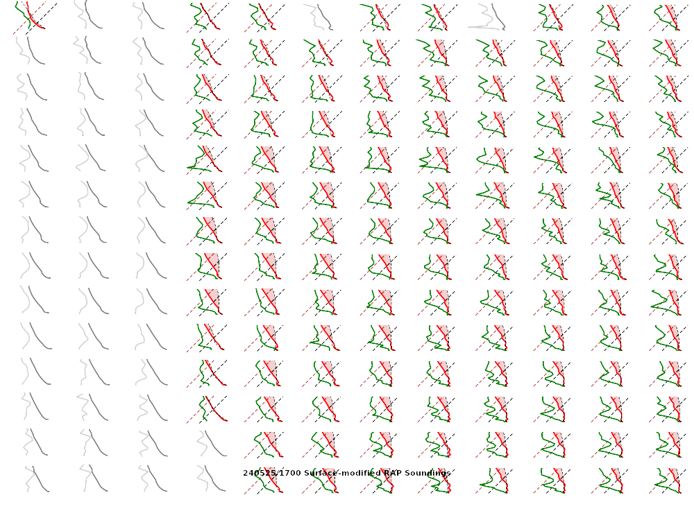
15Z RAP


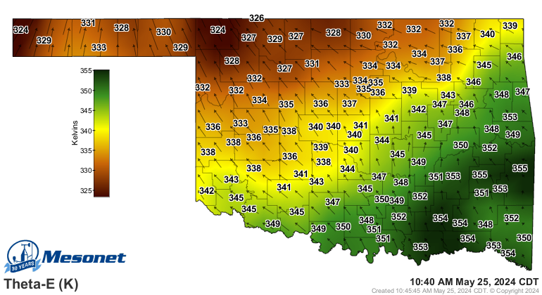
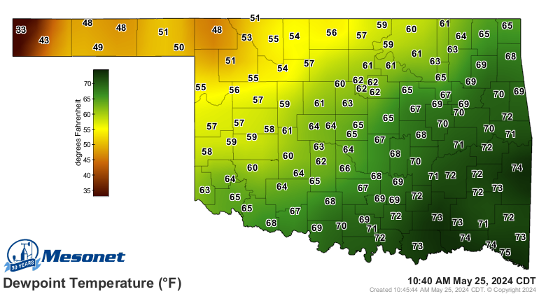
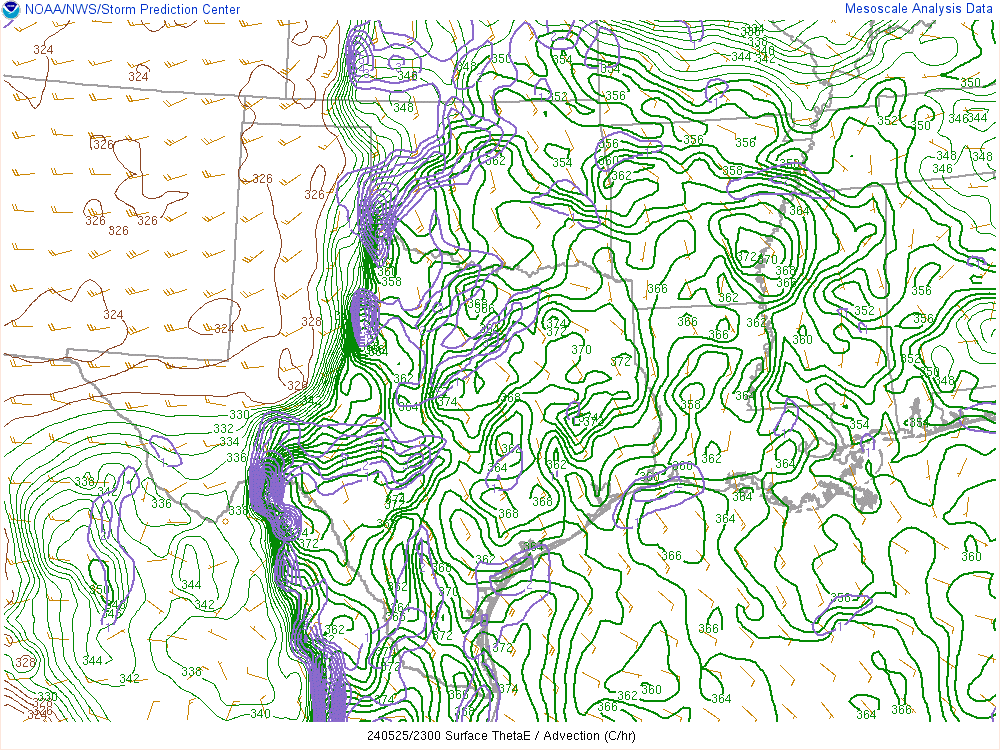
10:40 am Dewpoint and Theta-E charts from the Mesonet.
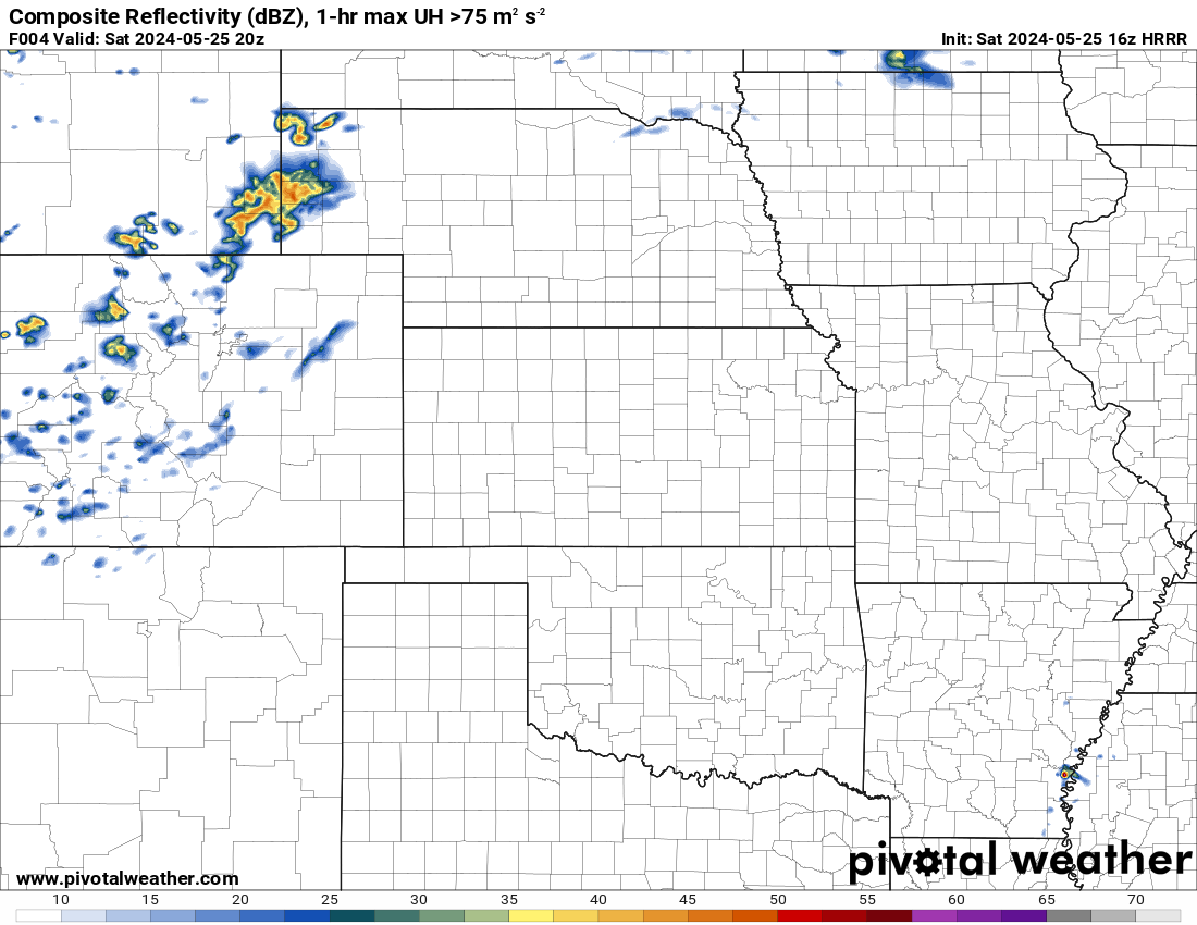
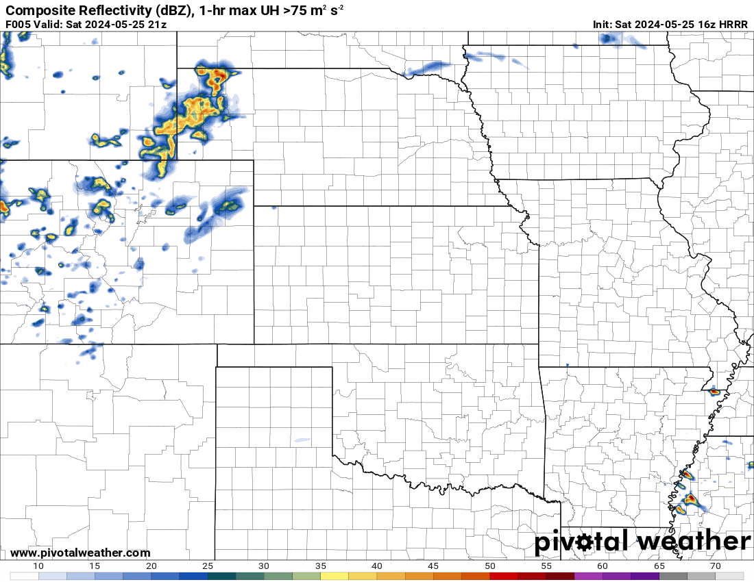
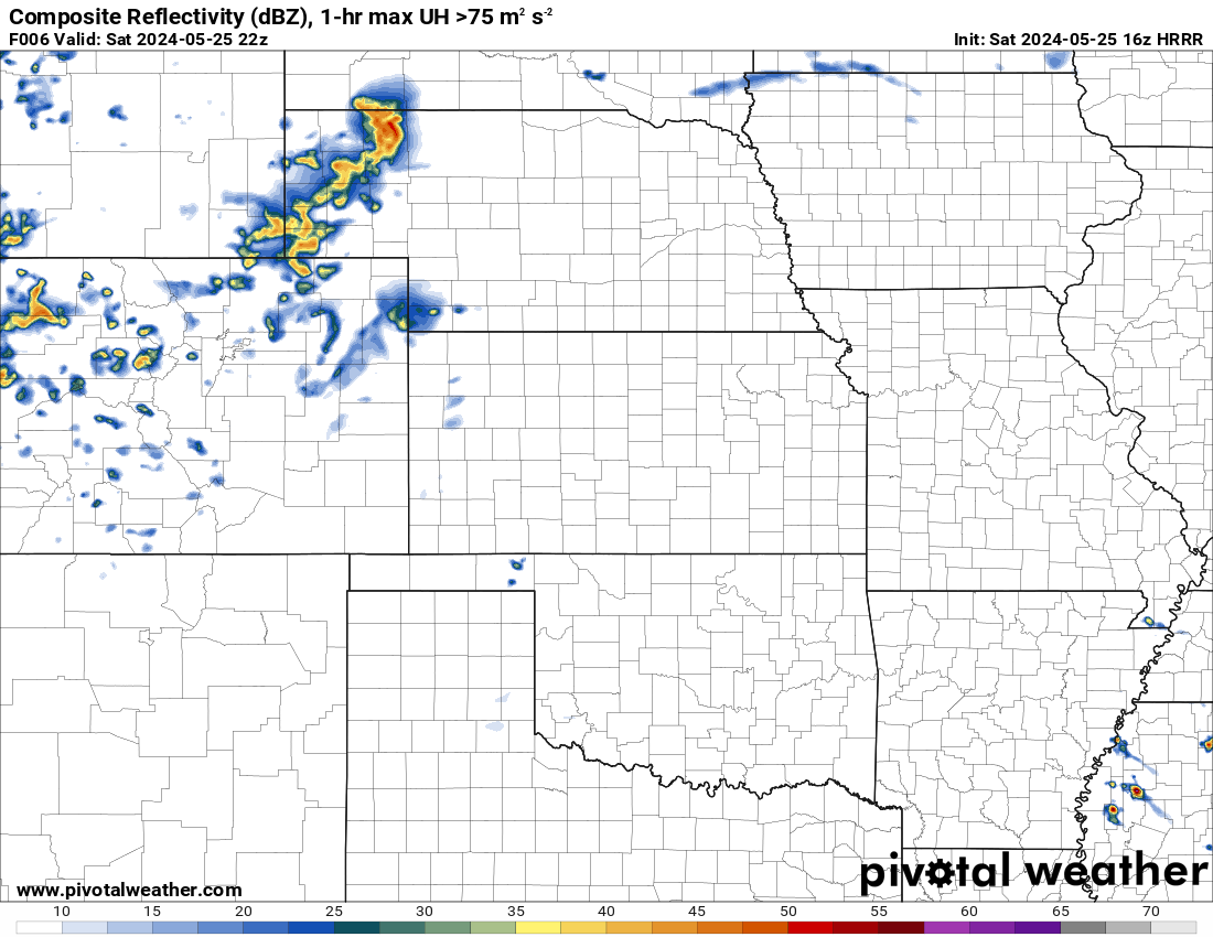
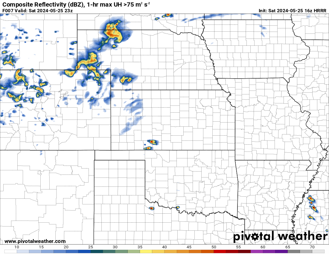
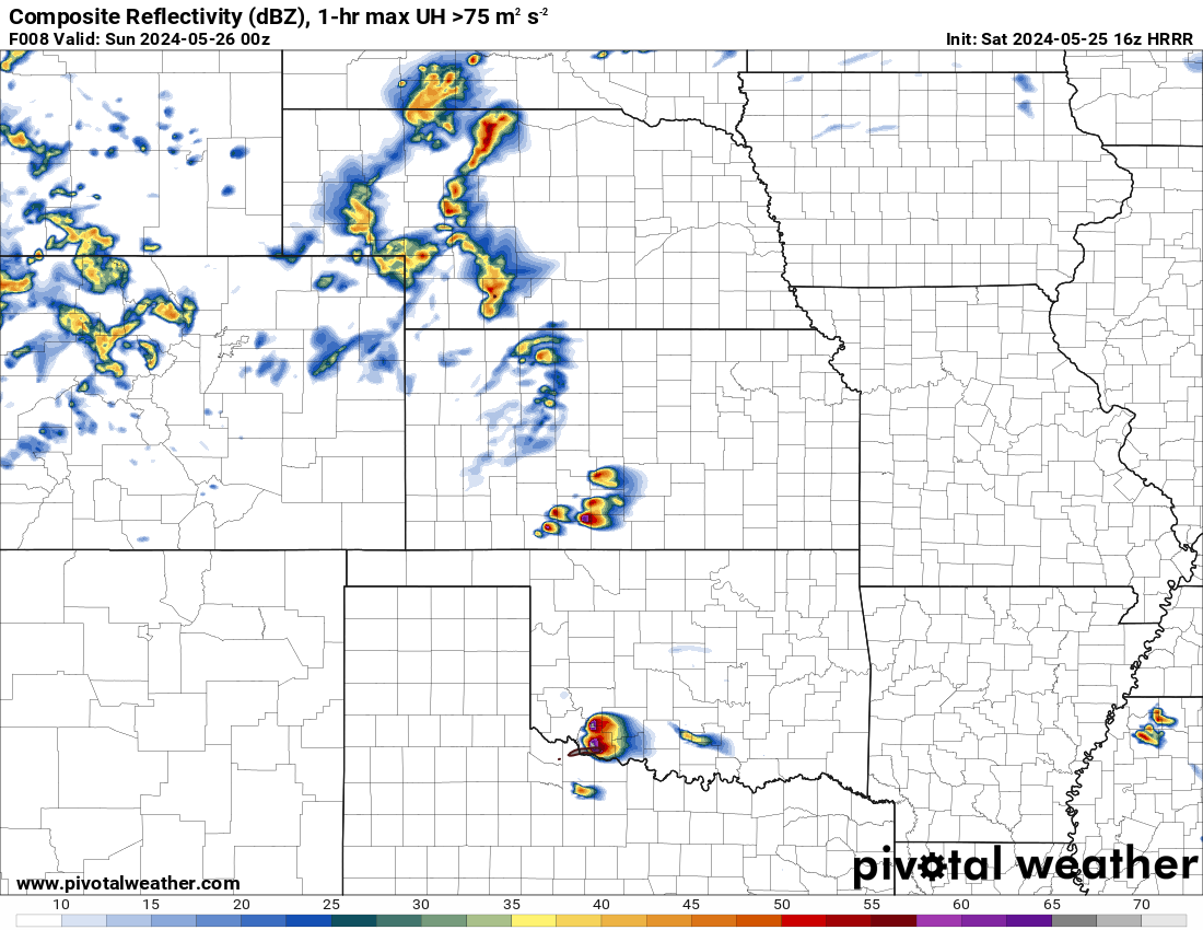
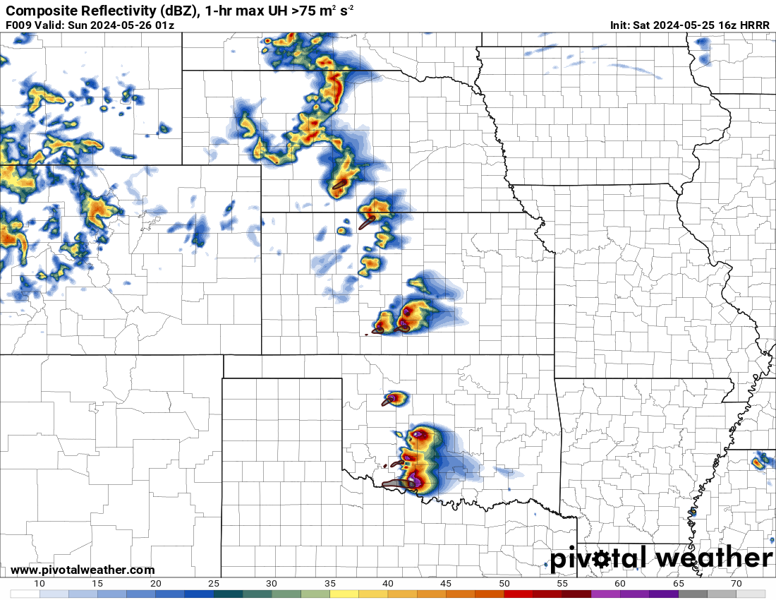
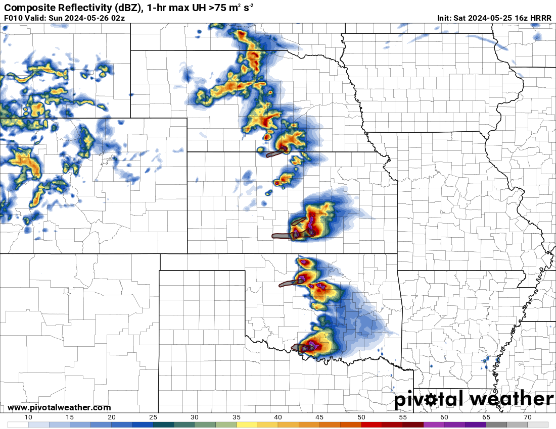
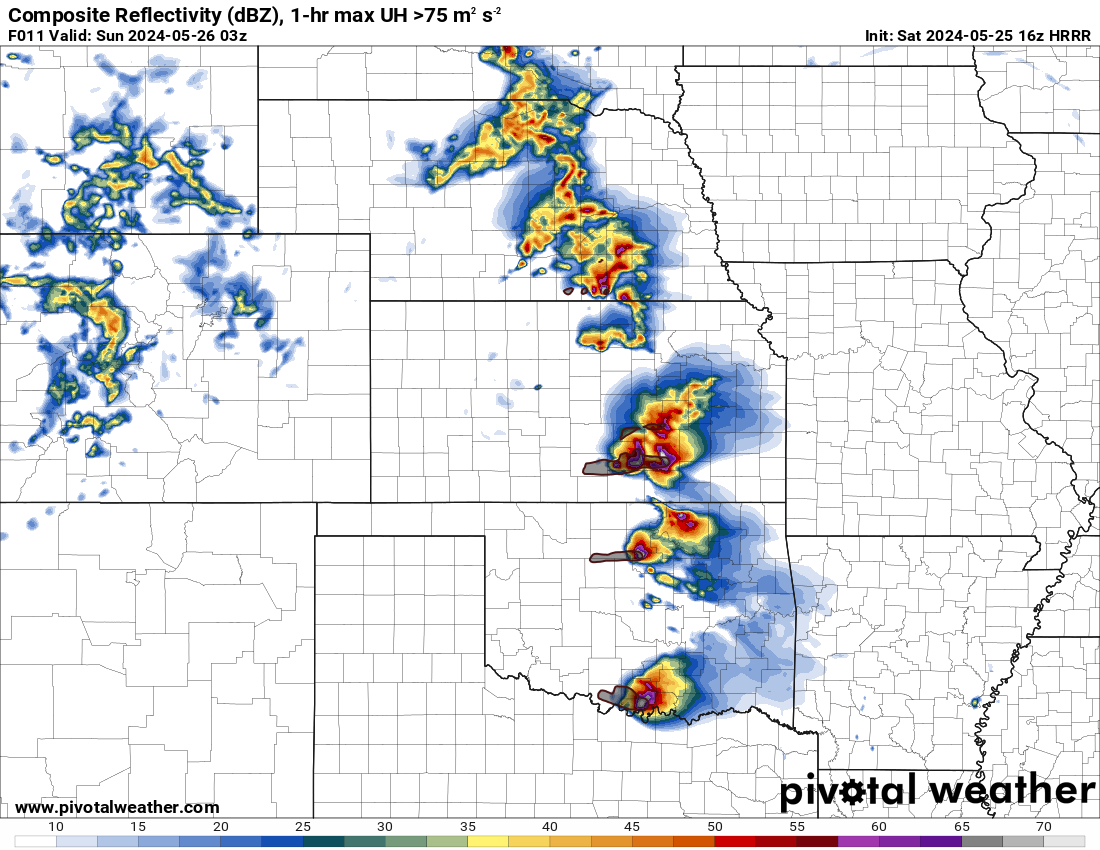
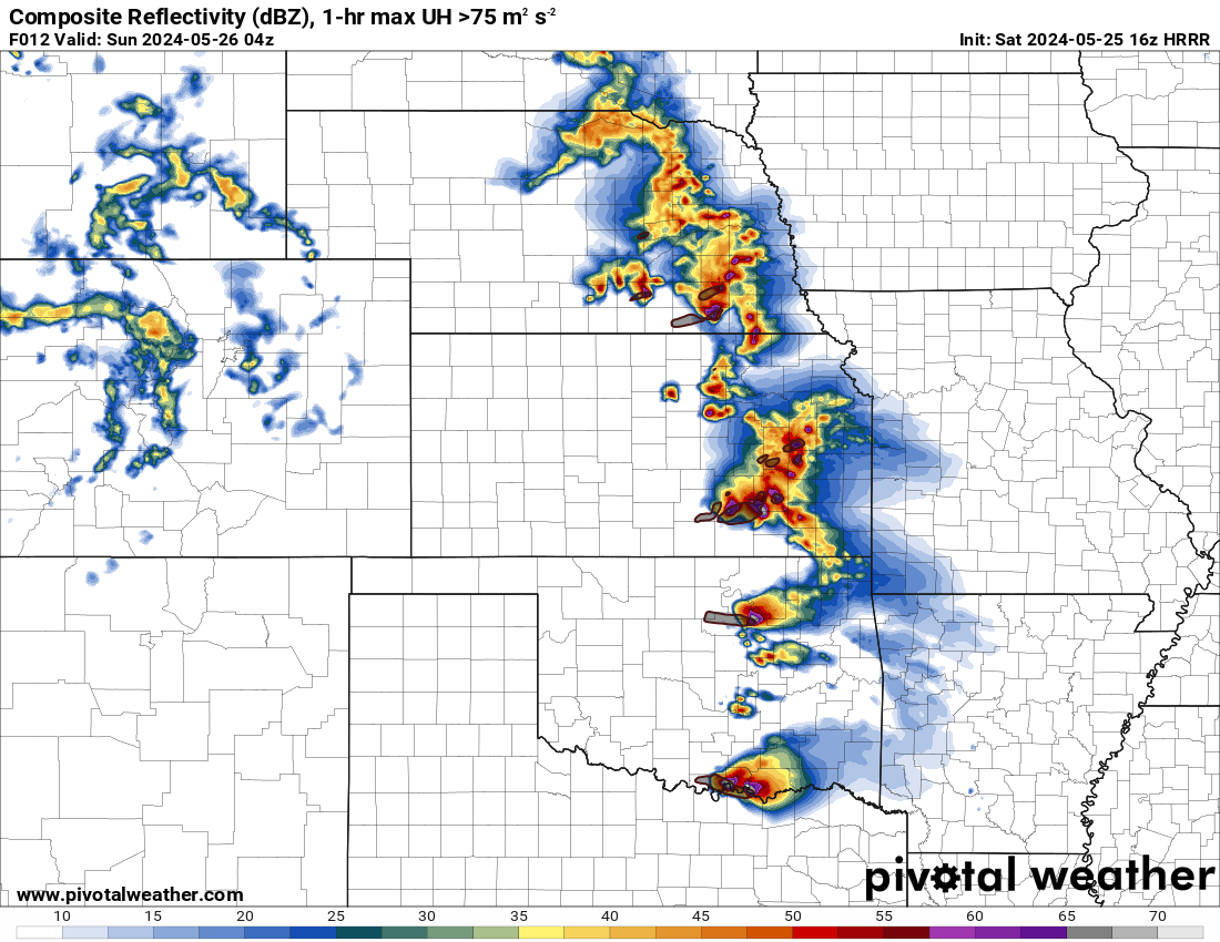
16Z HRRR Reflectivity/Updraft Helicity
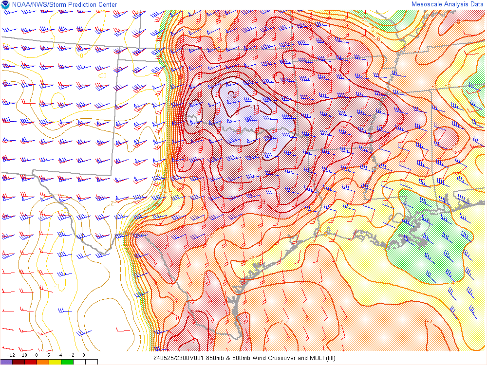
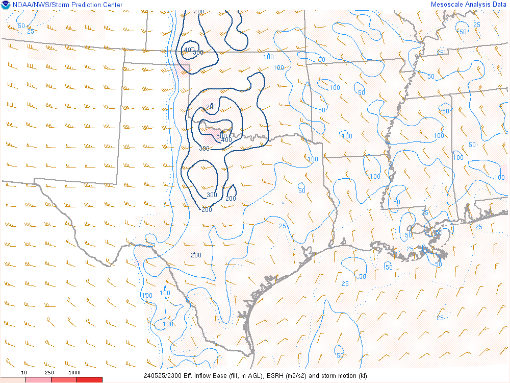
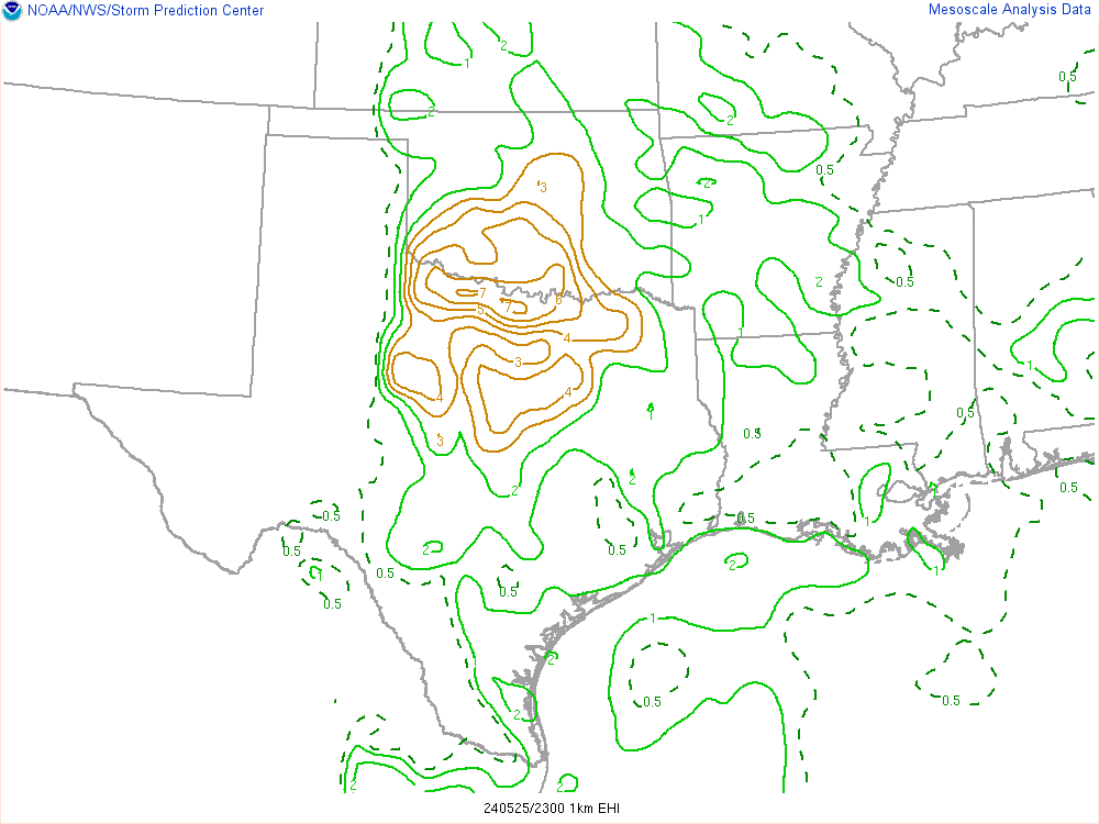
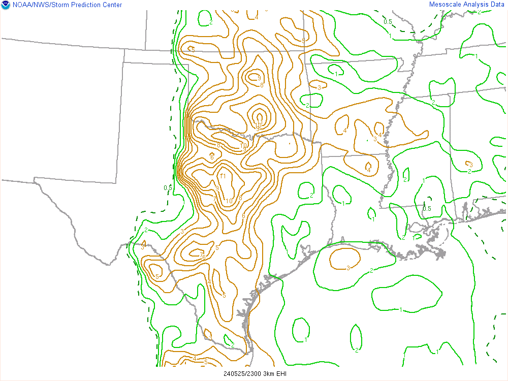
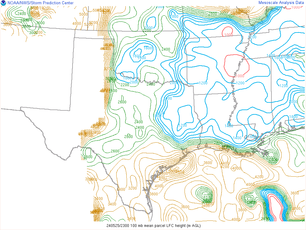
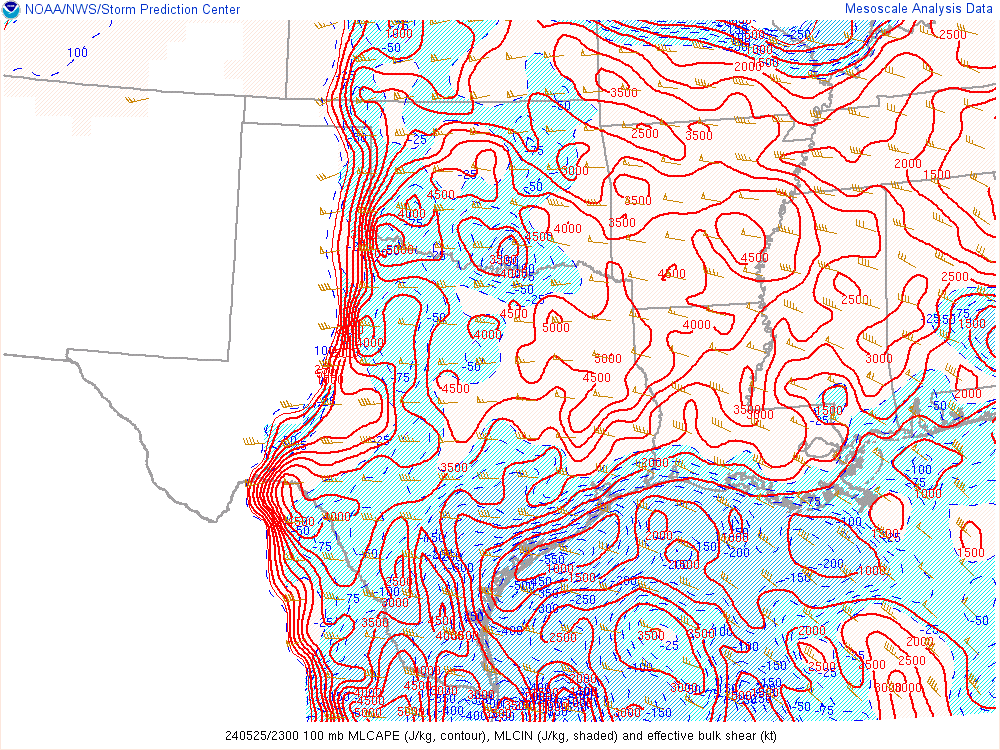
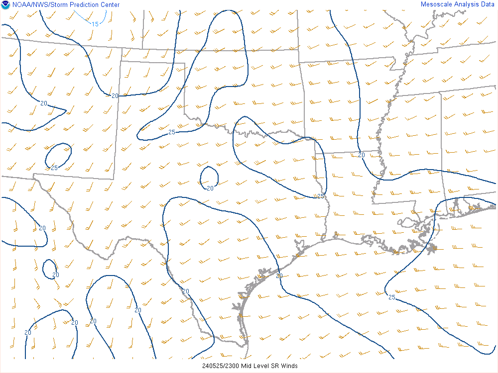
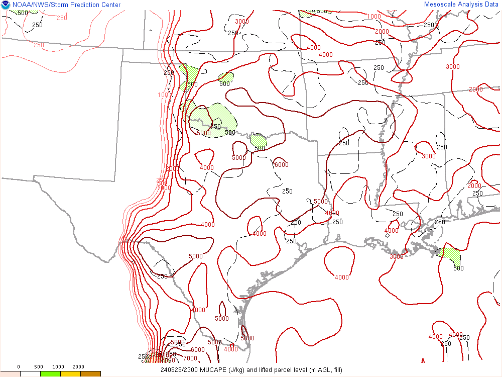
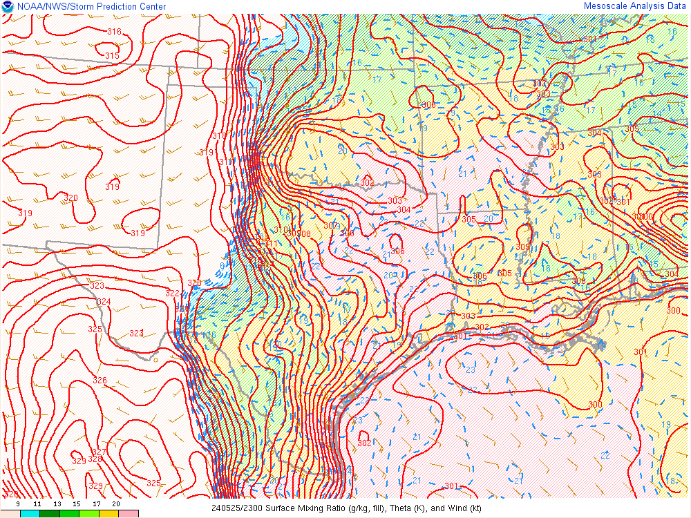
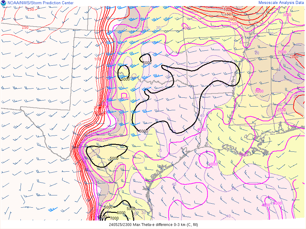
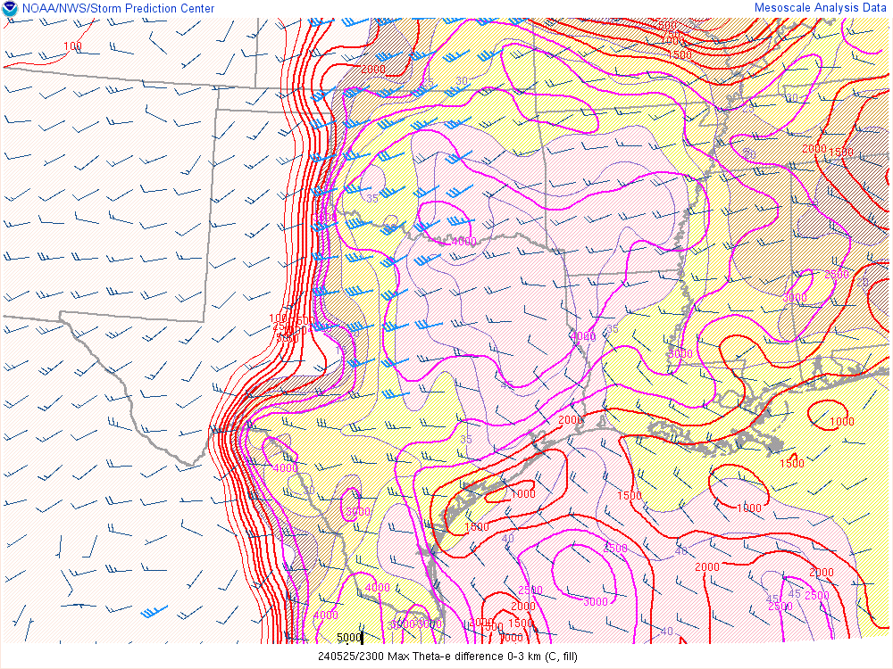
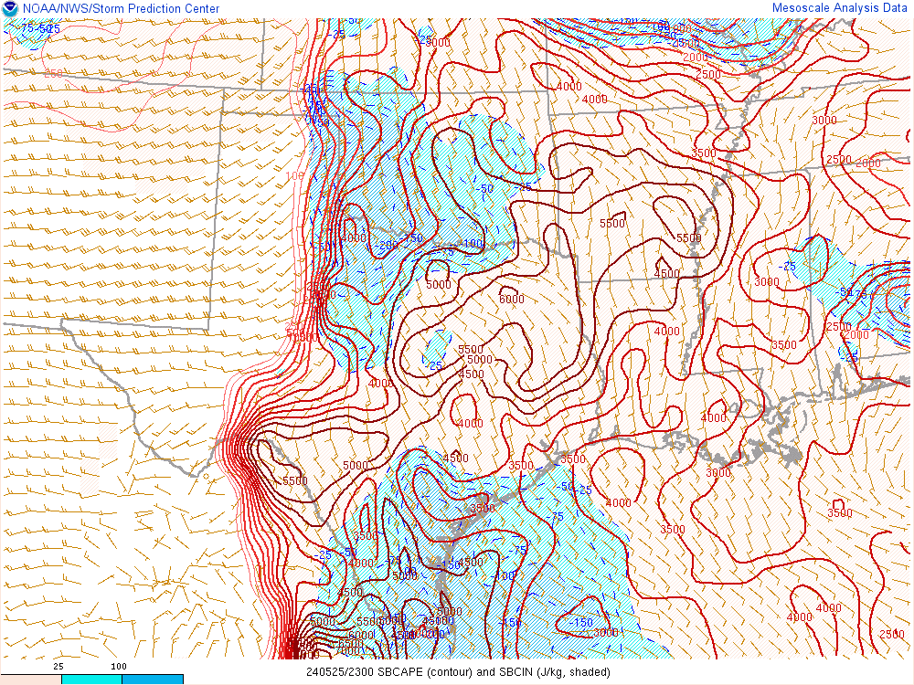
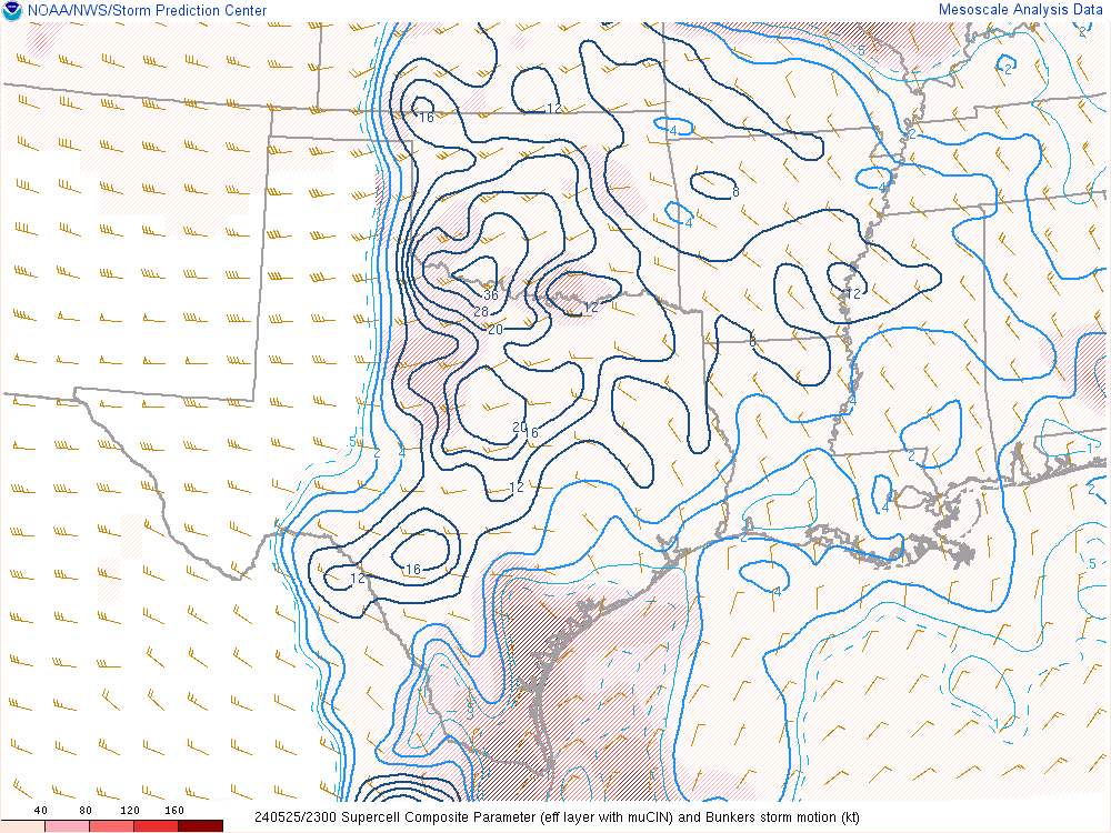
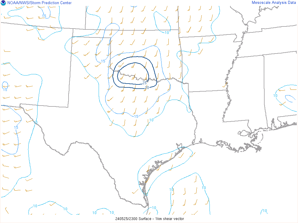
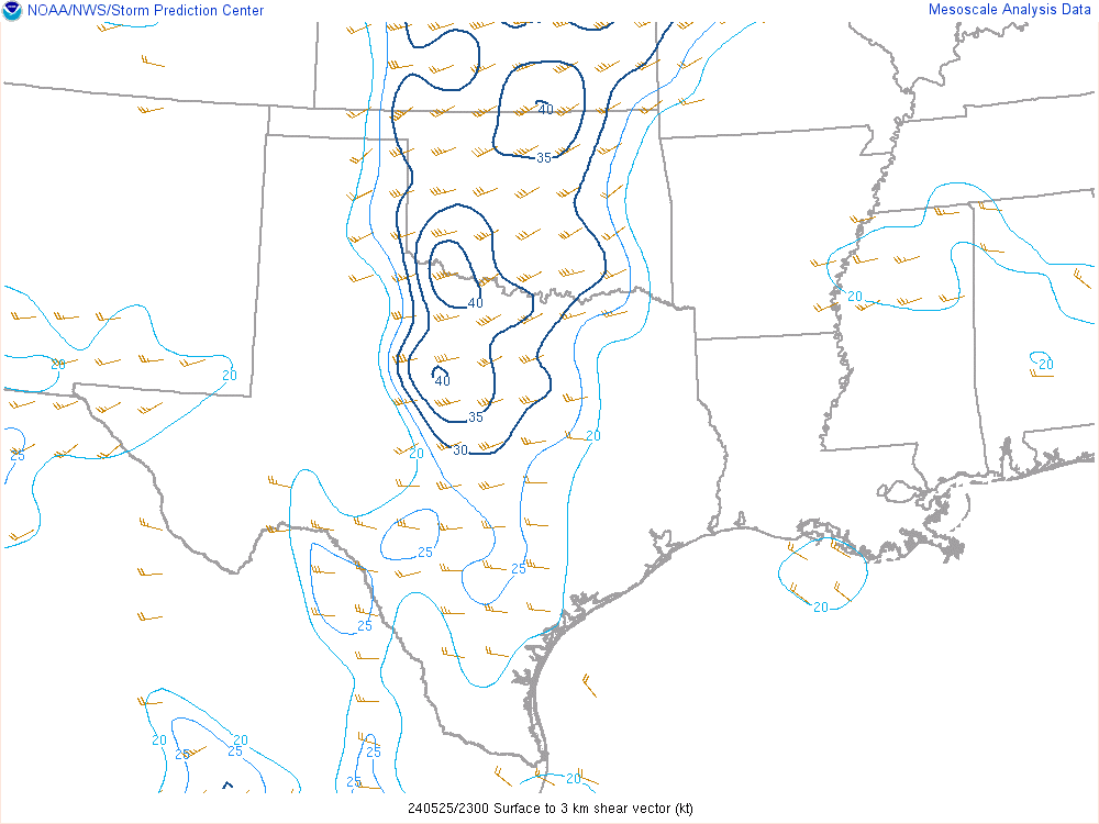
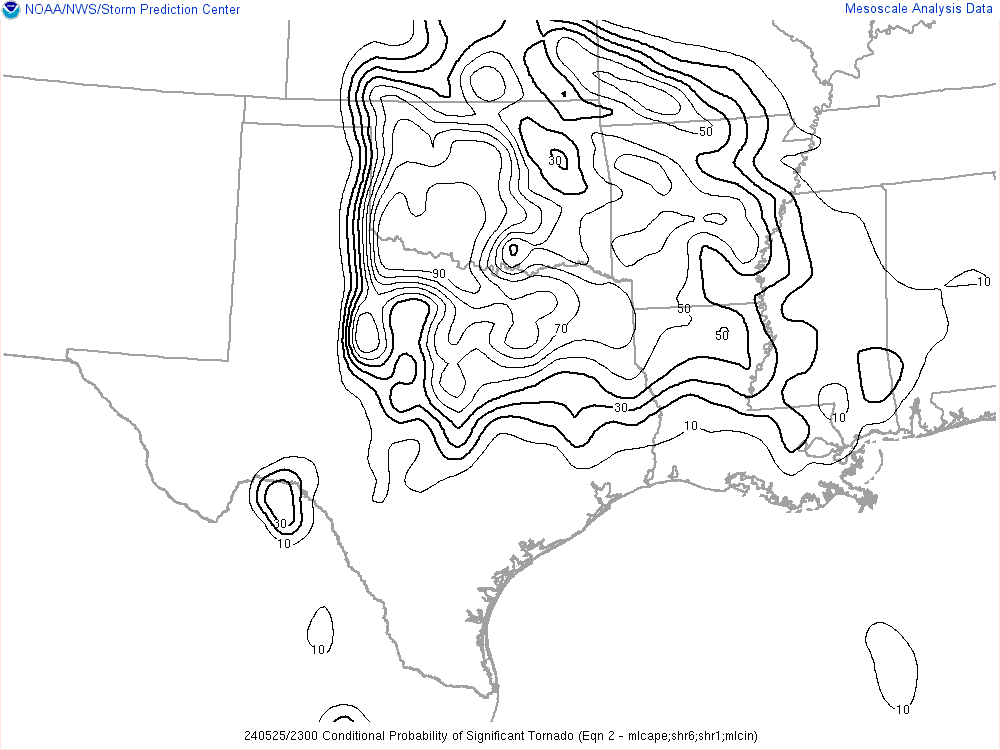
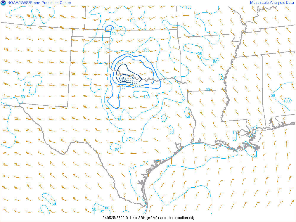
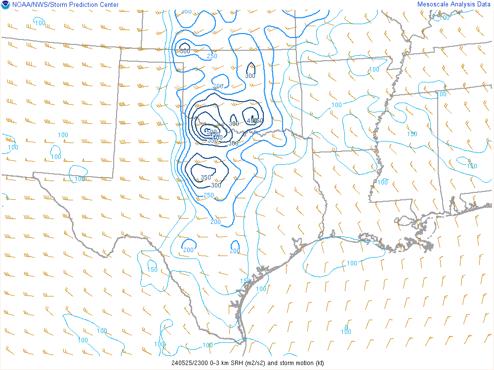
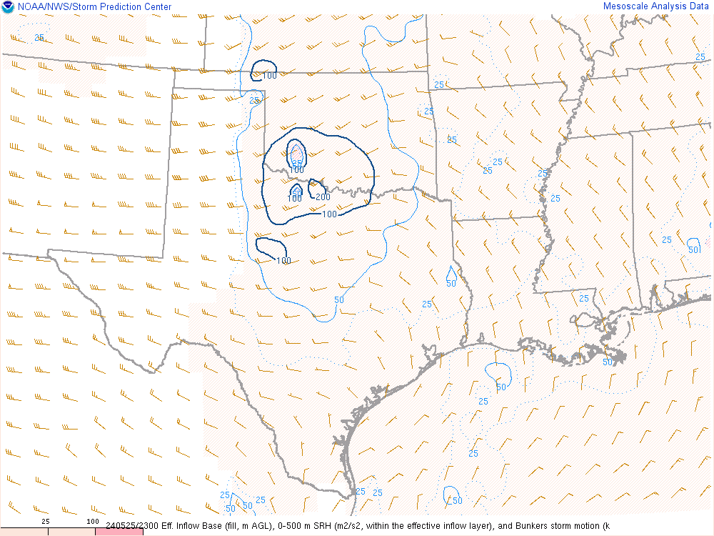
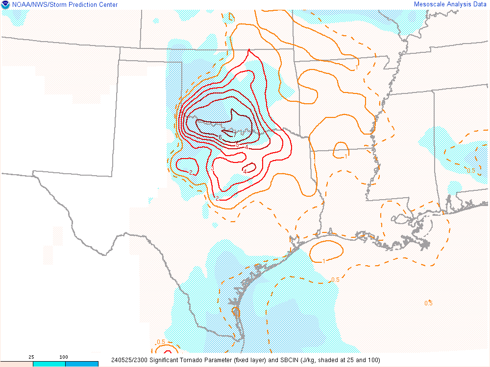
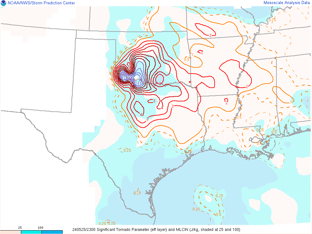
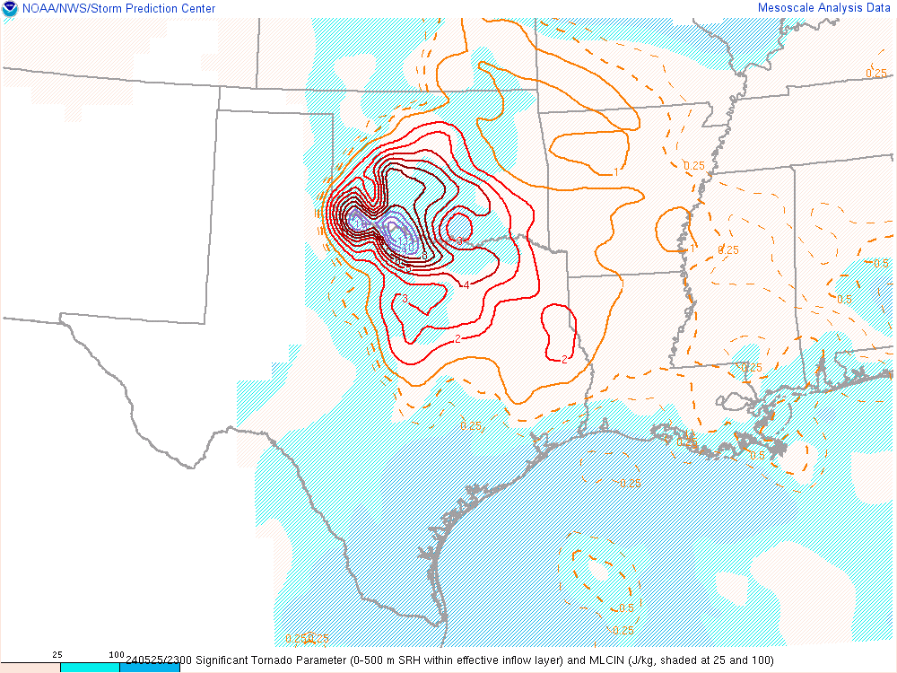
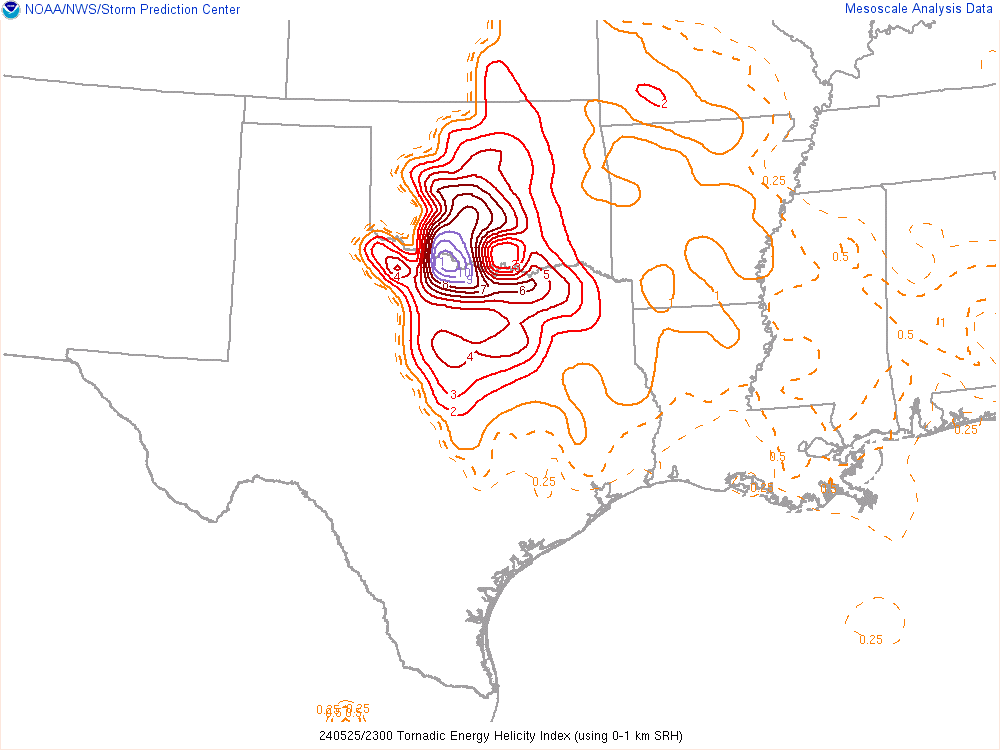
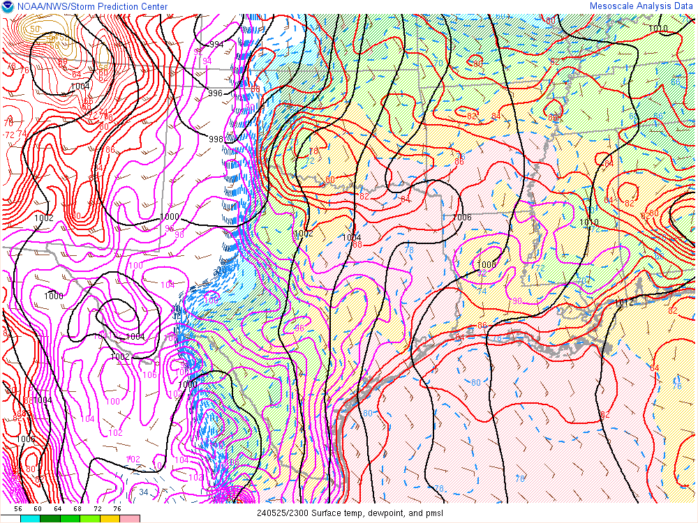
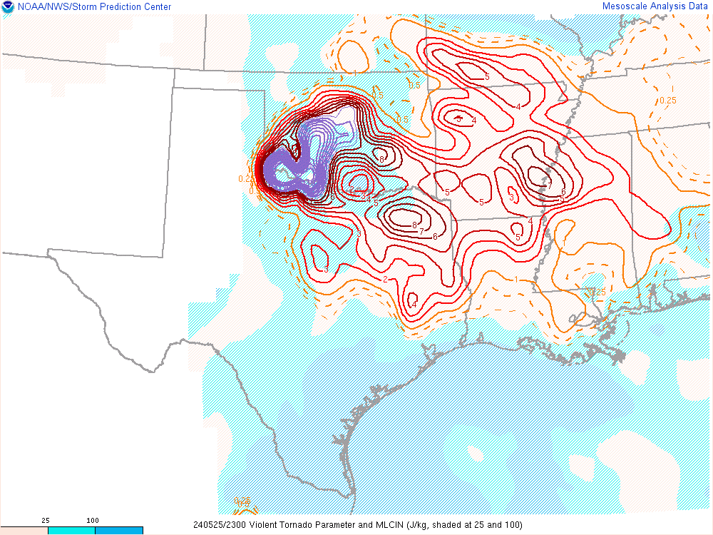
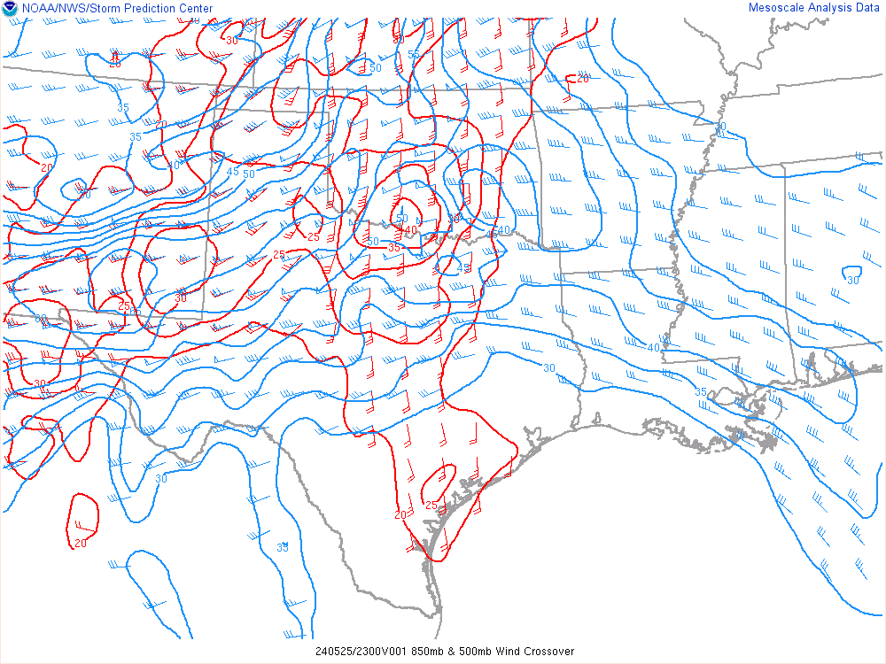
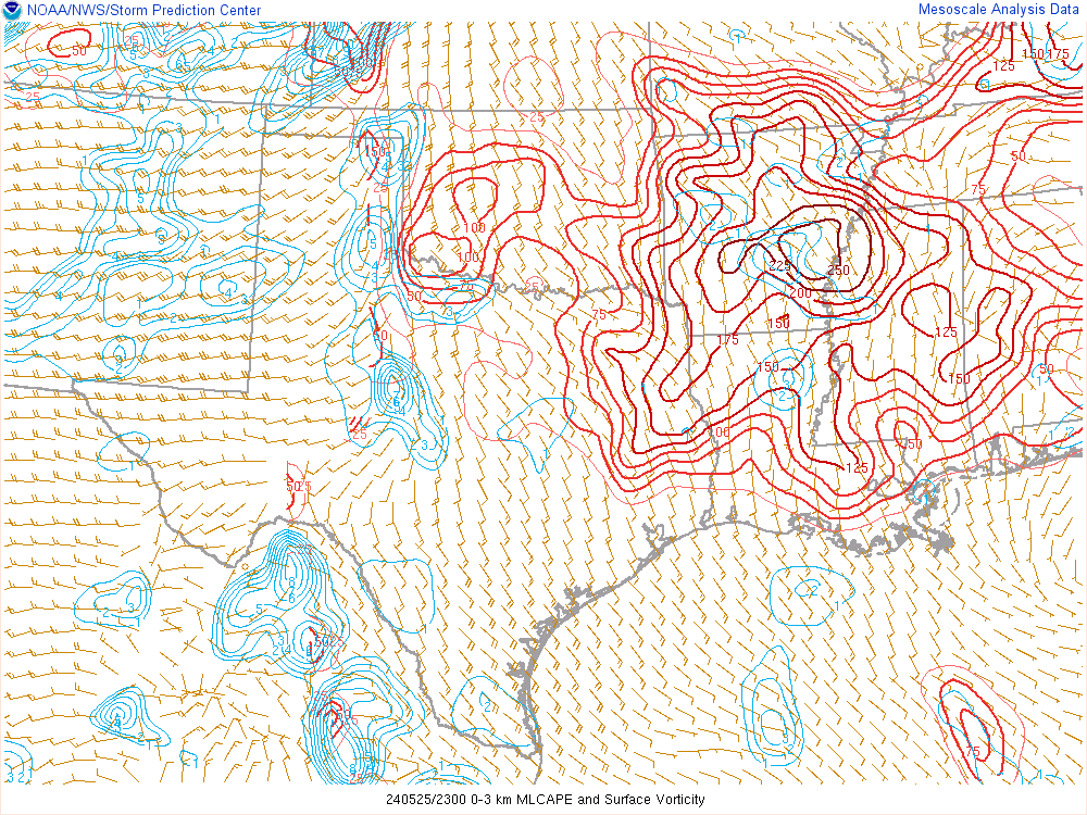
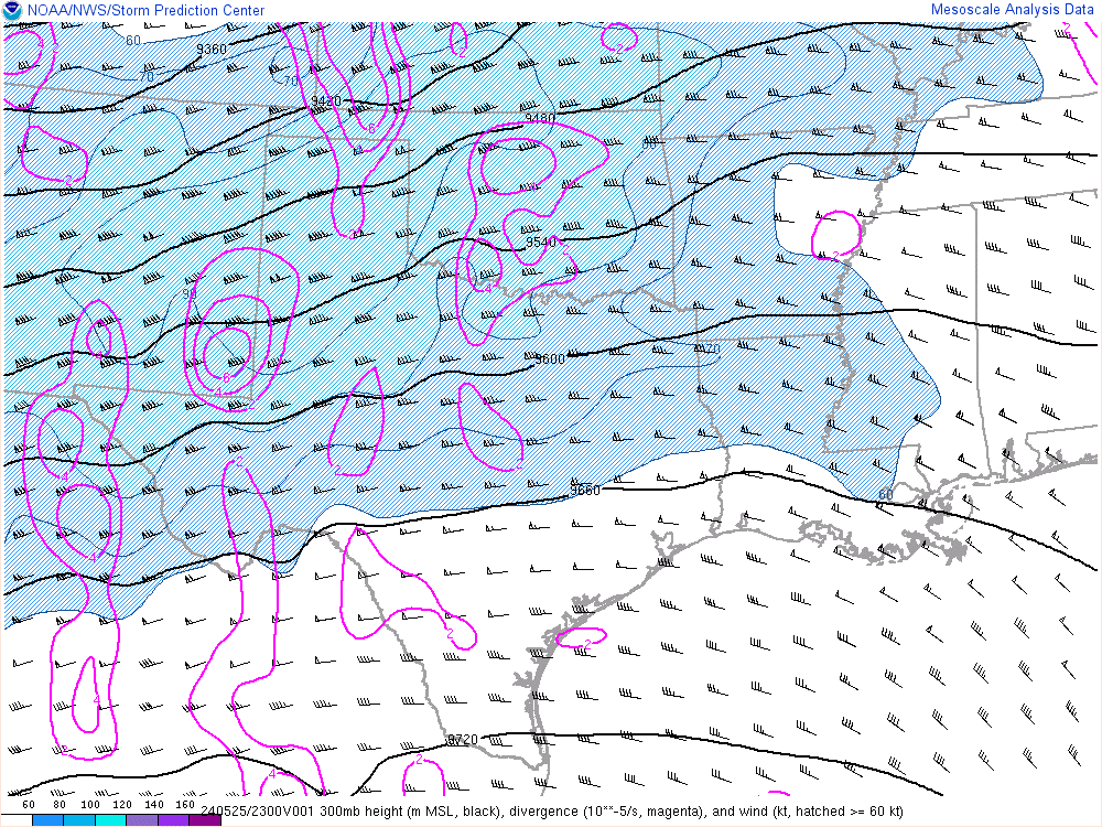
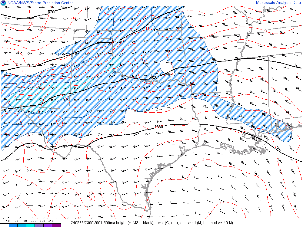
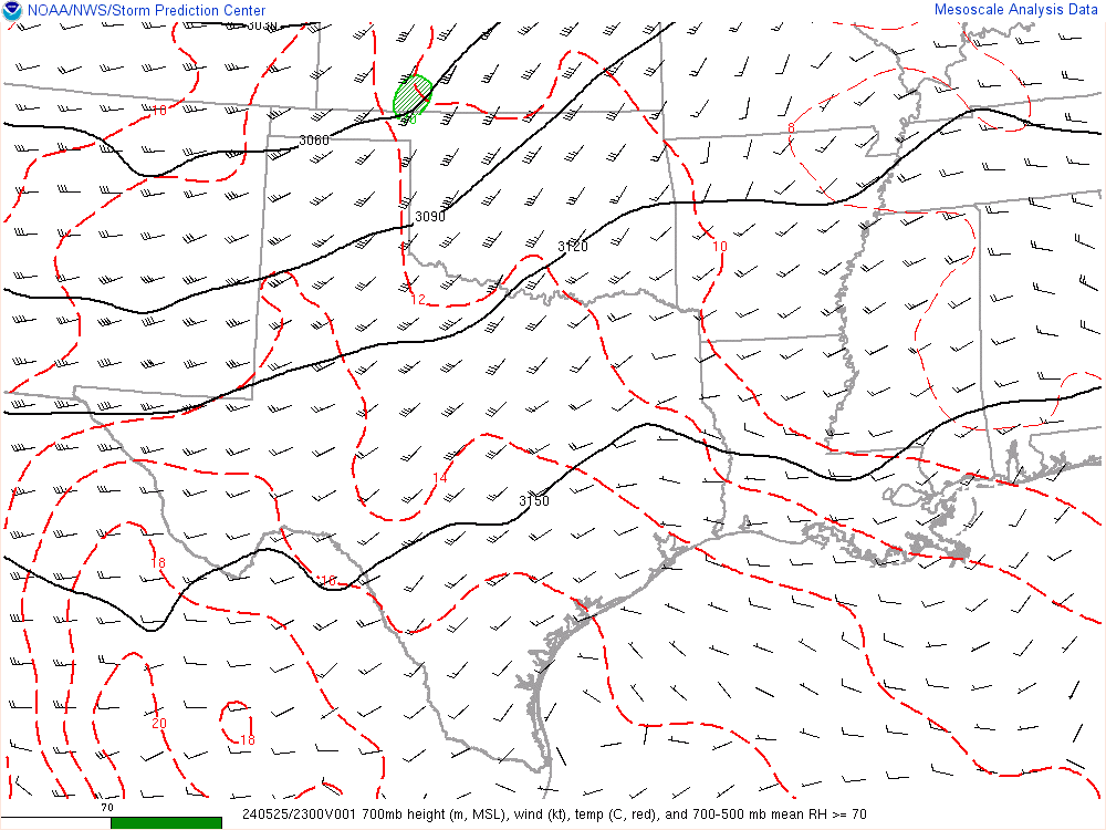
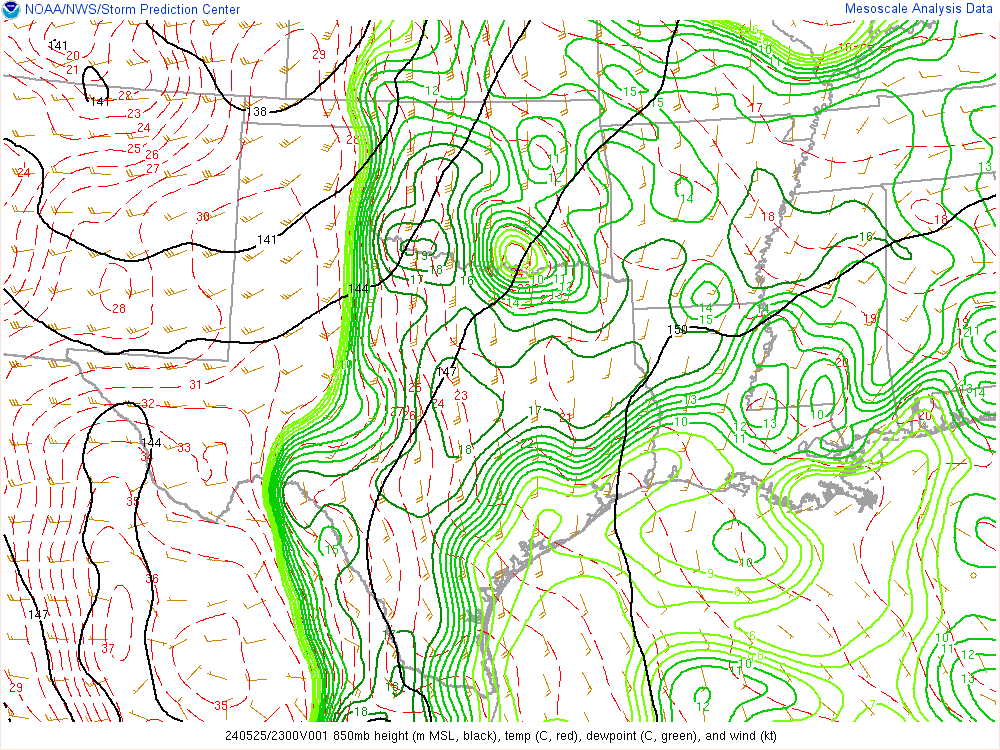
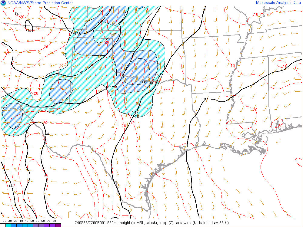
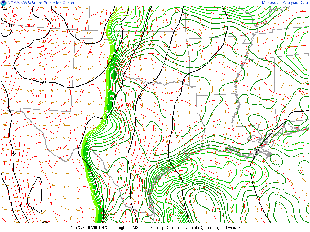
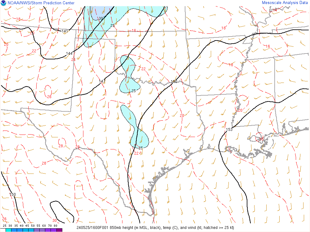
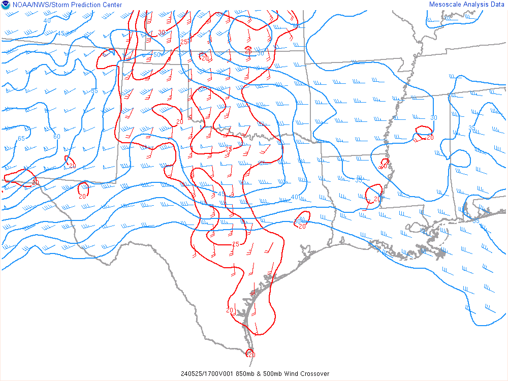
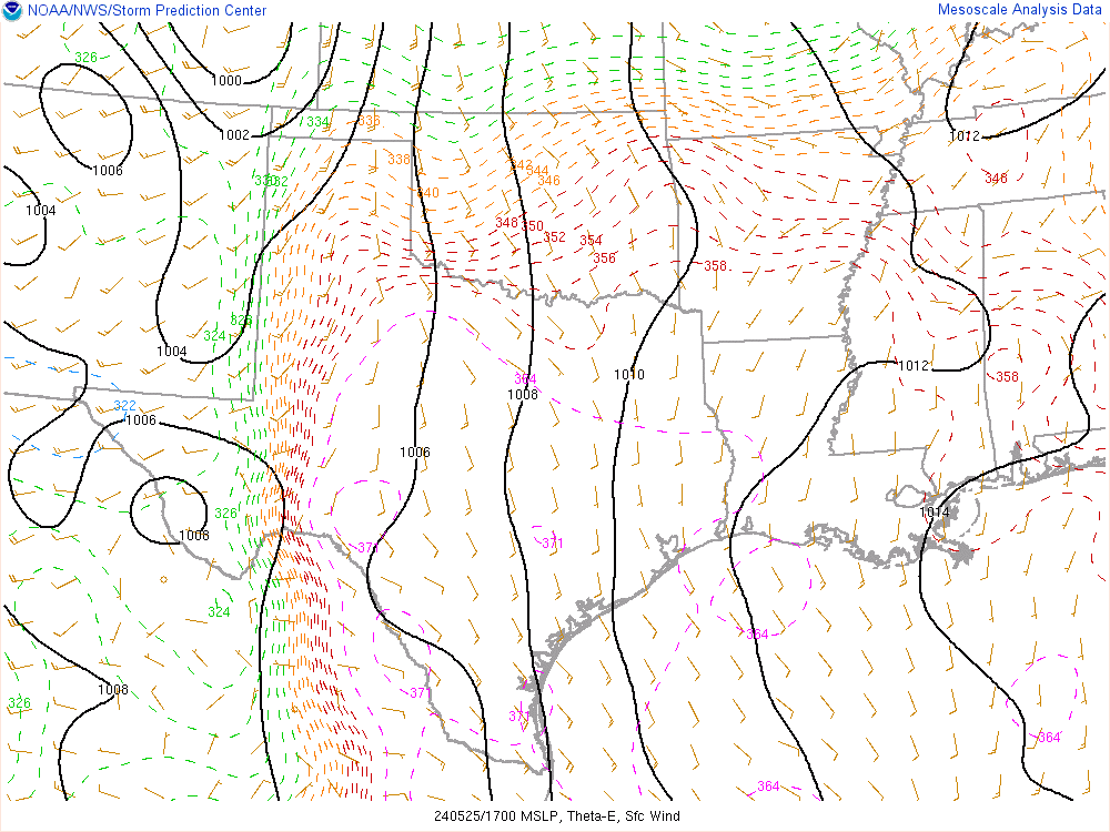
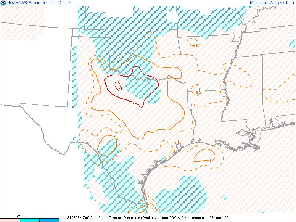
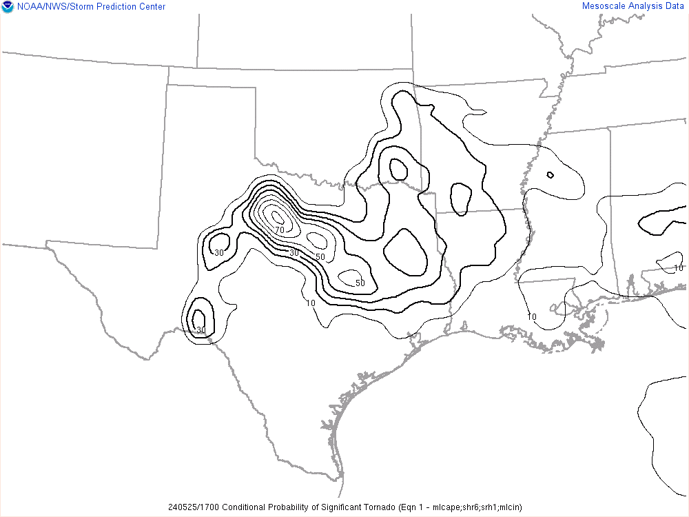
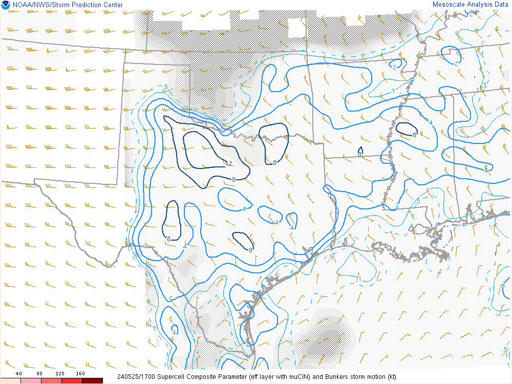
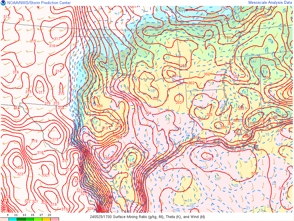
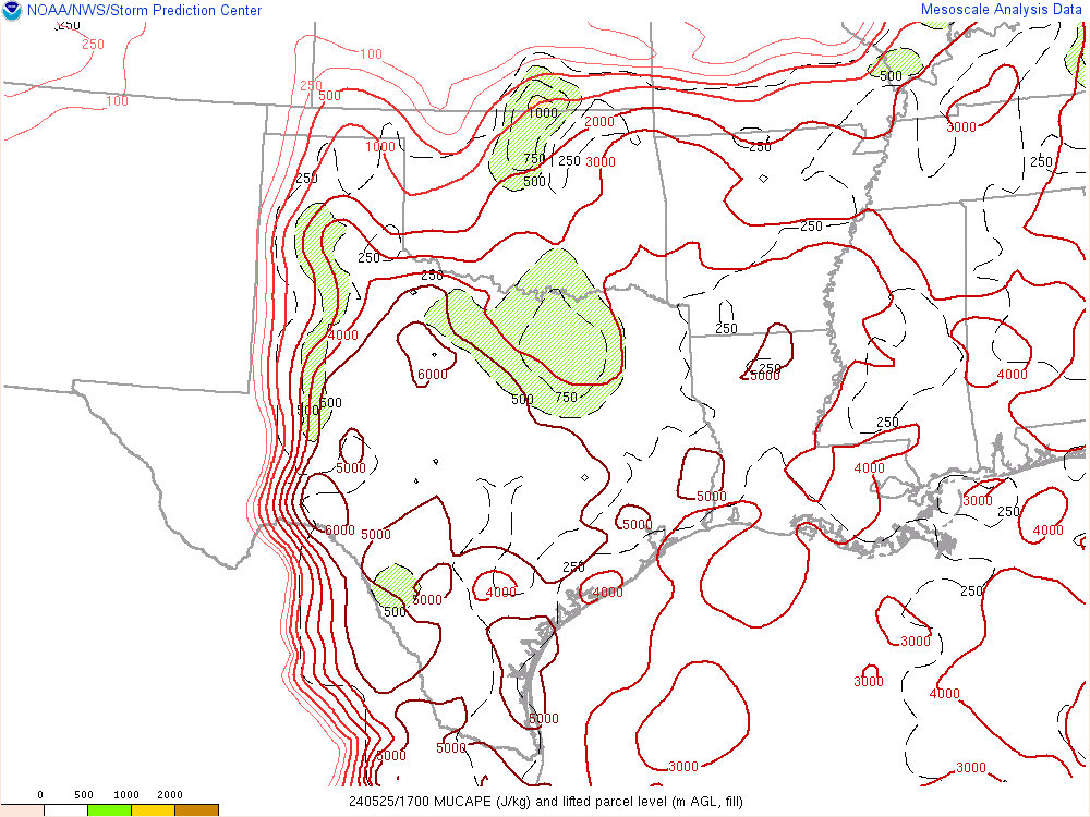
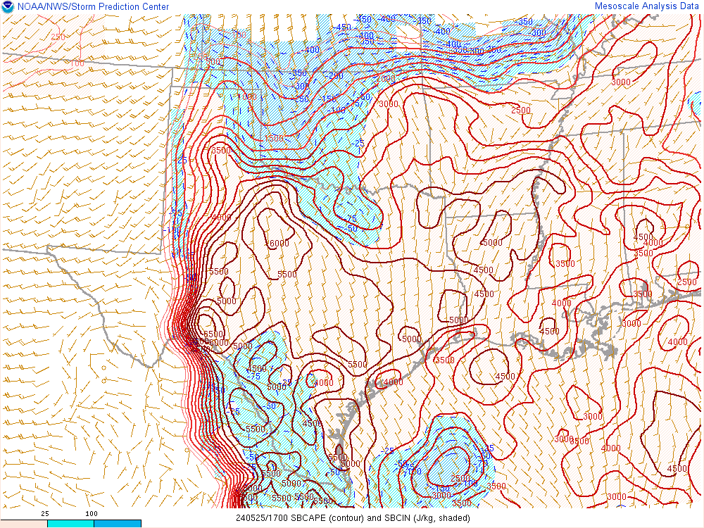
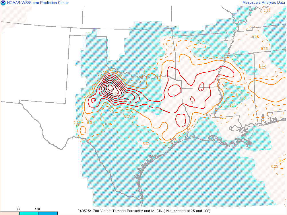
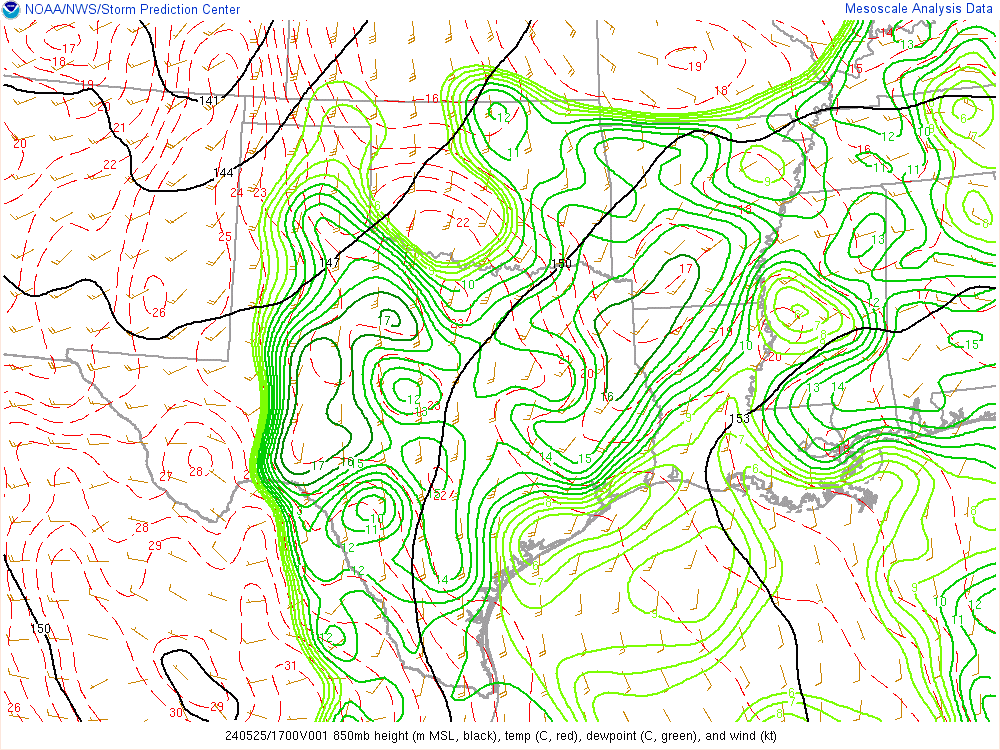
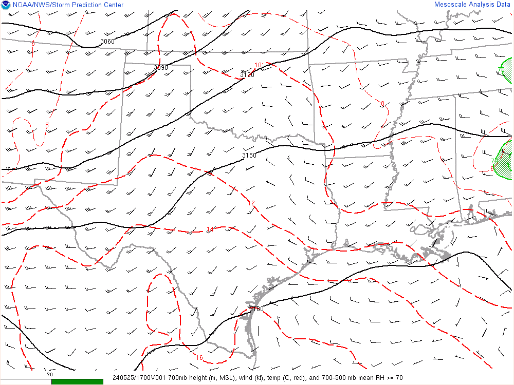
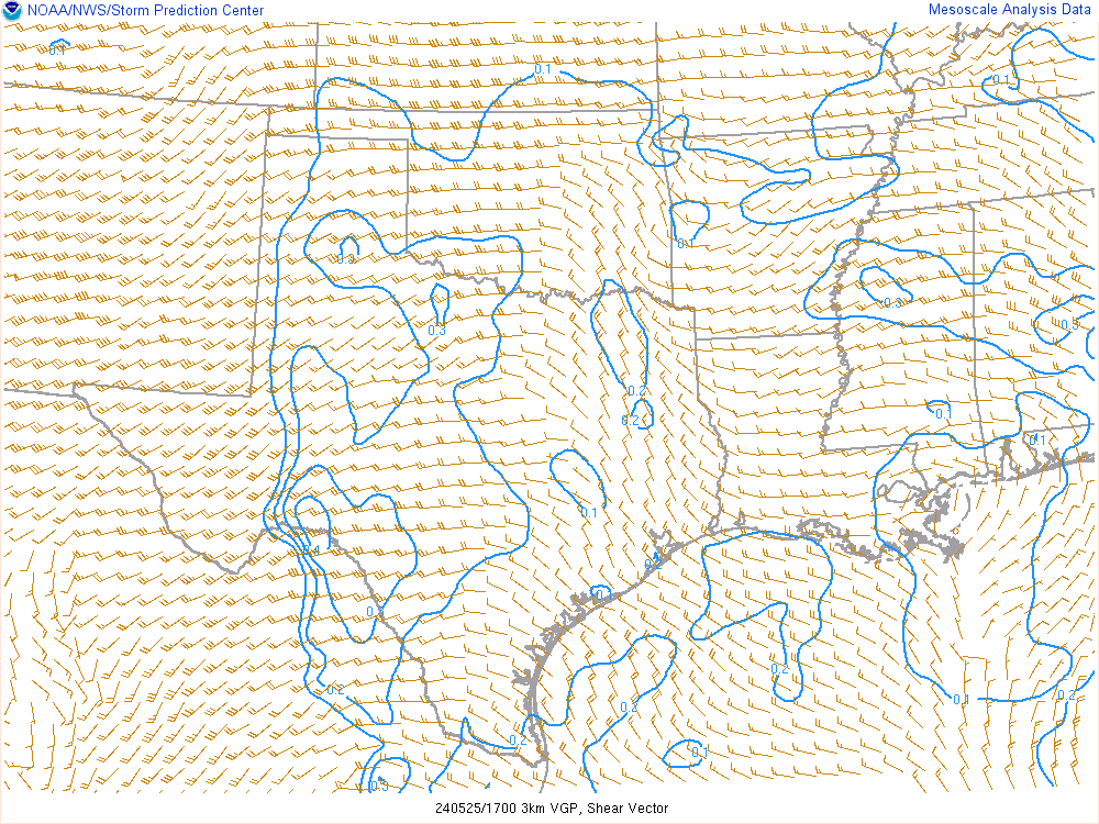
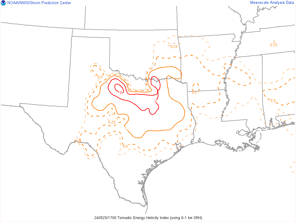
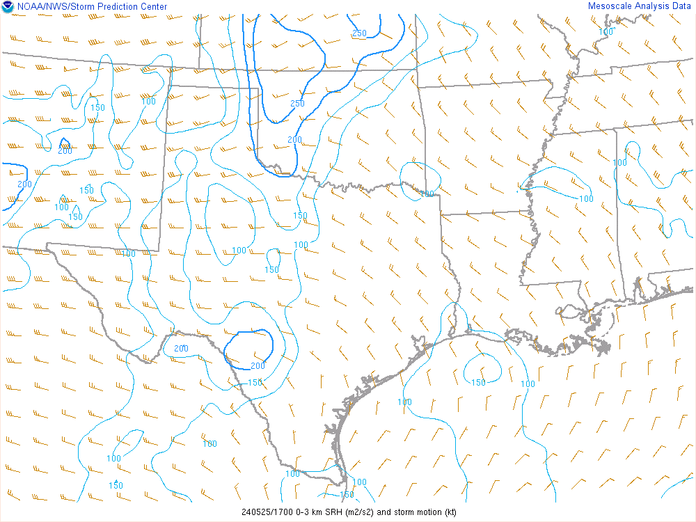
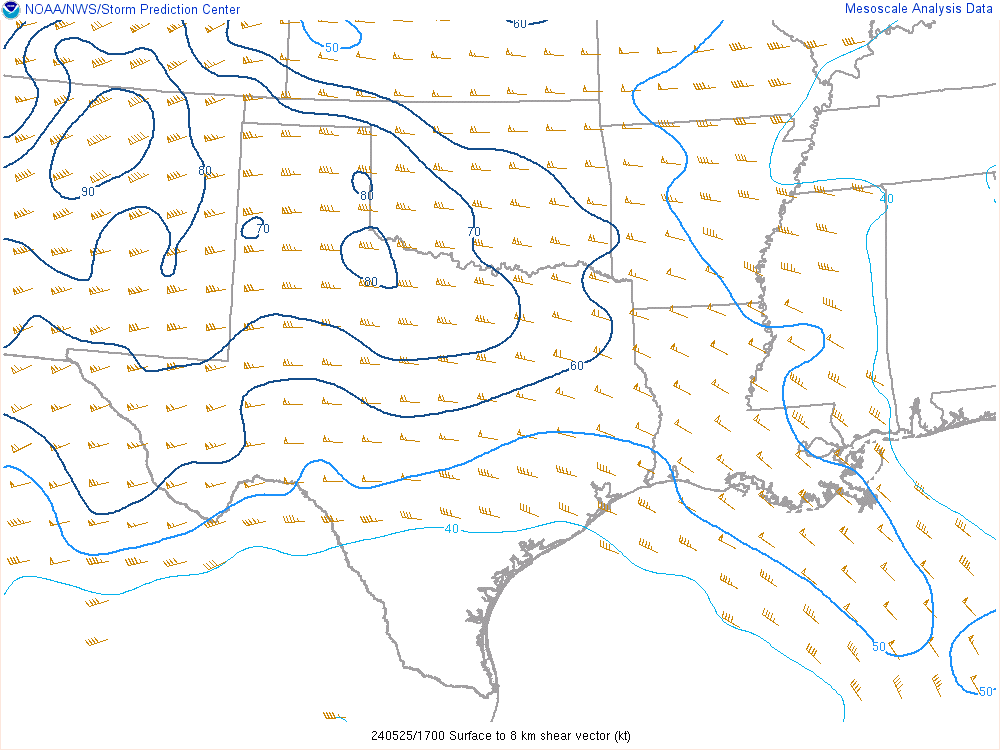
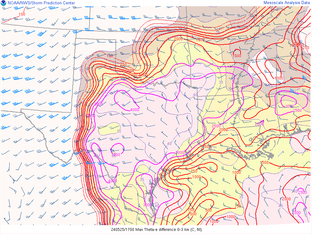
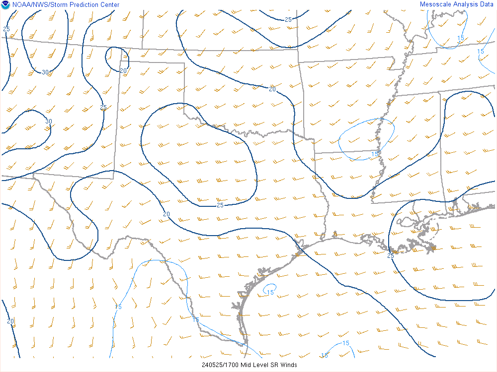
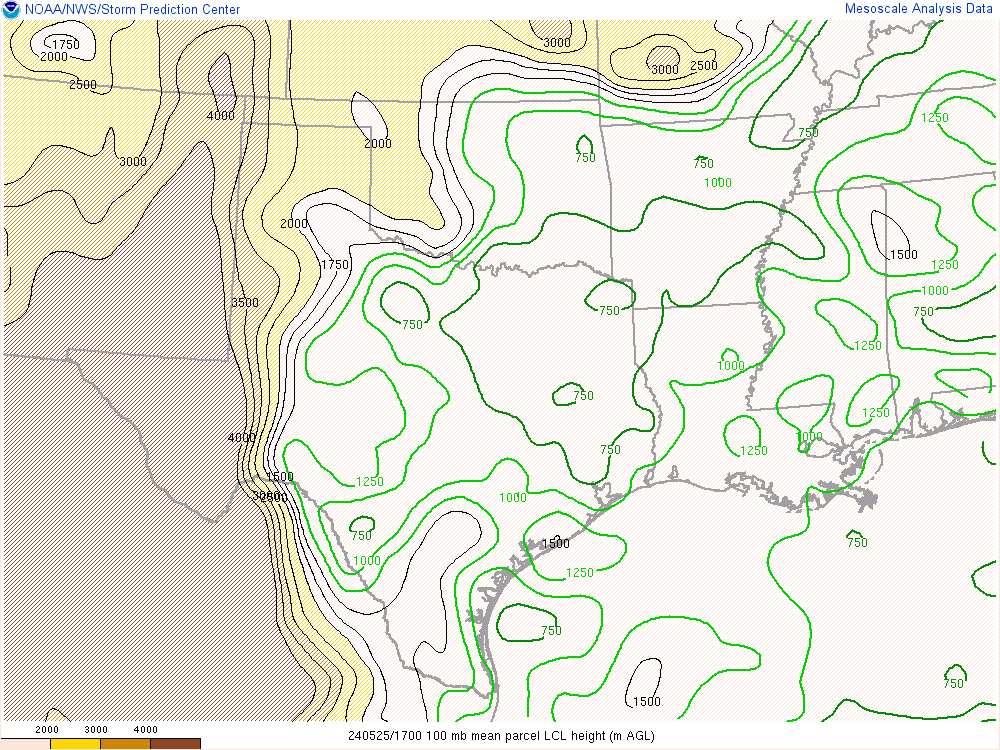
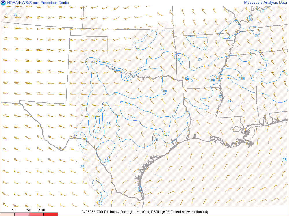
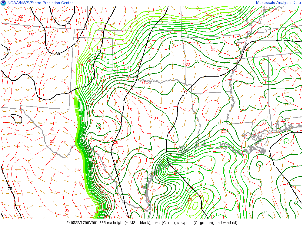
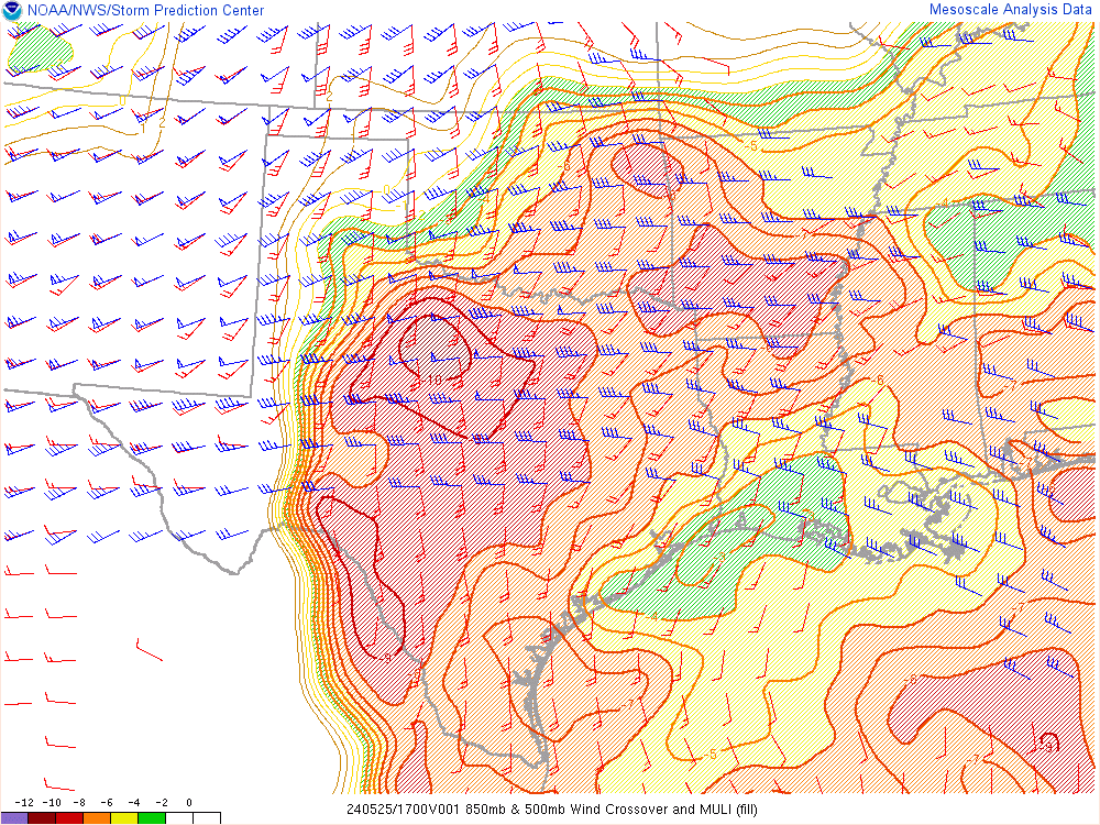
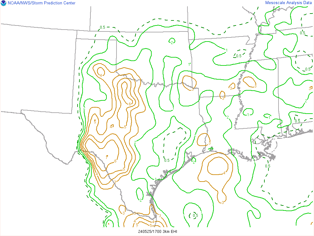
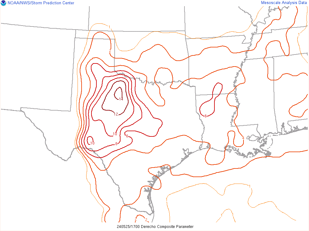
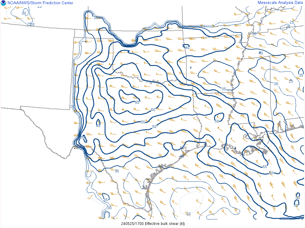
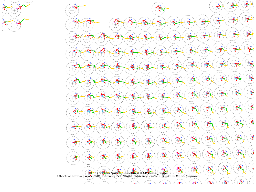
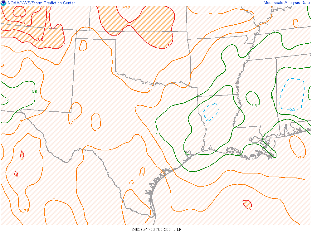
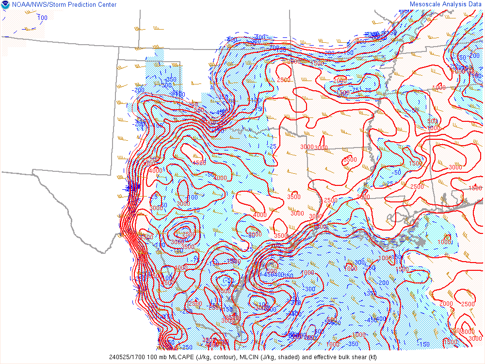
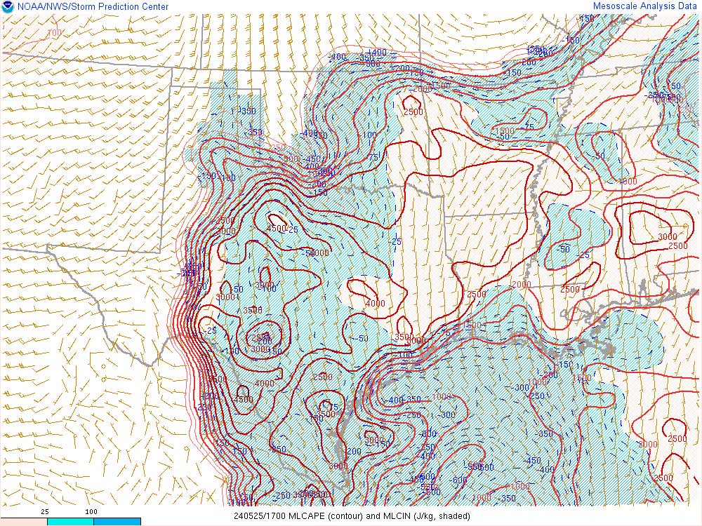
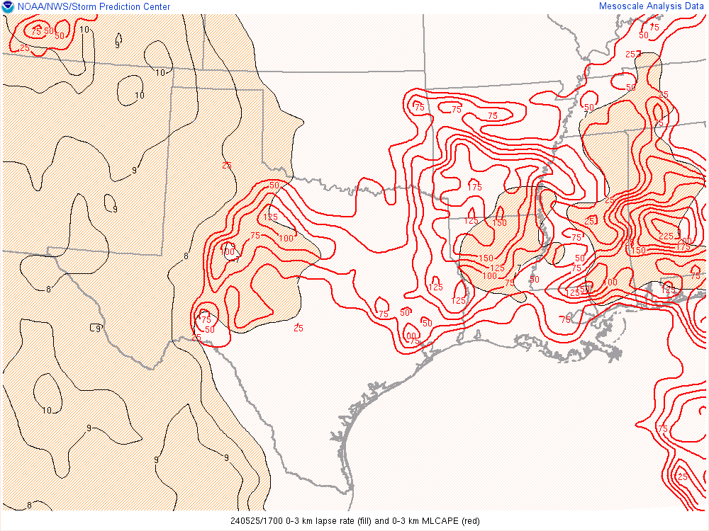
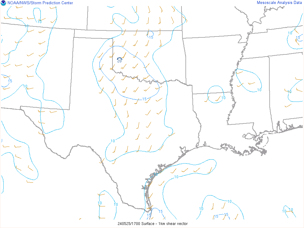
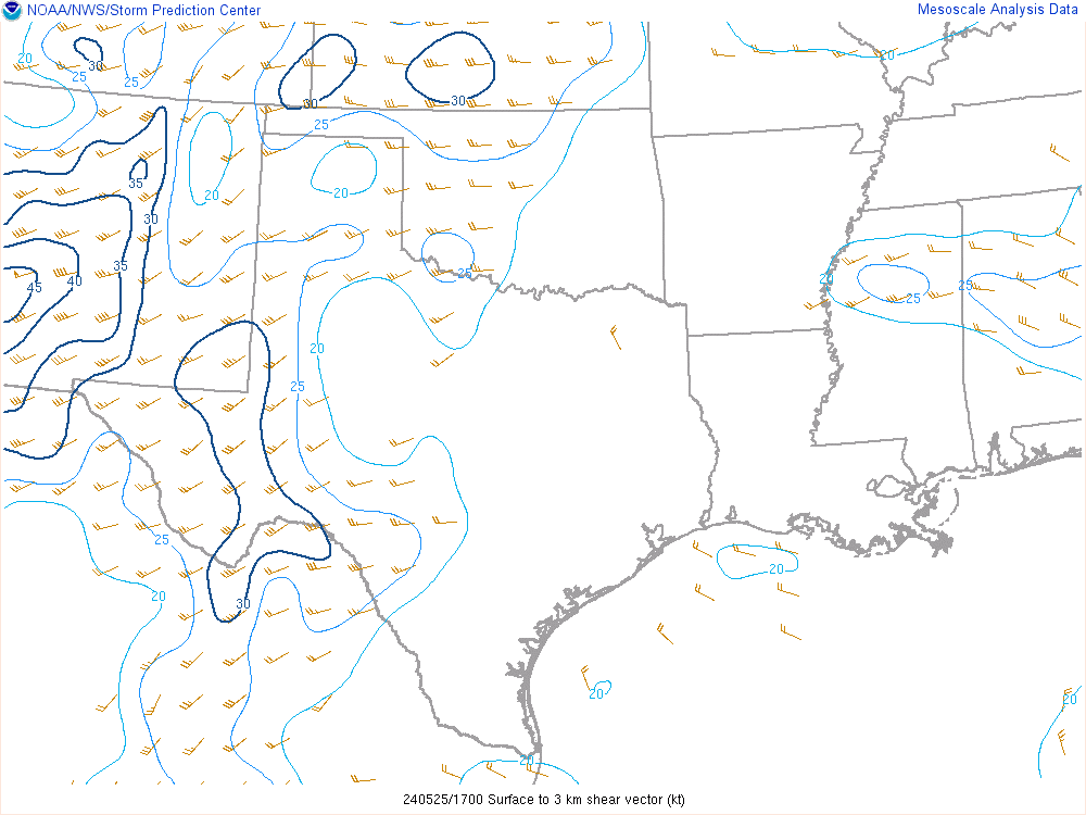
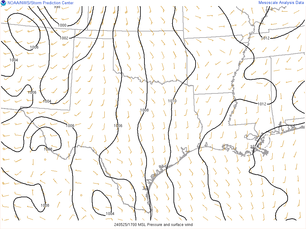
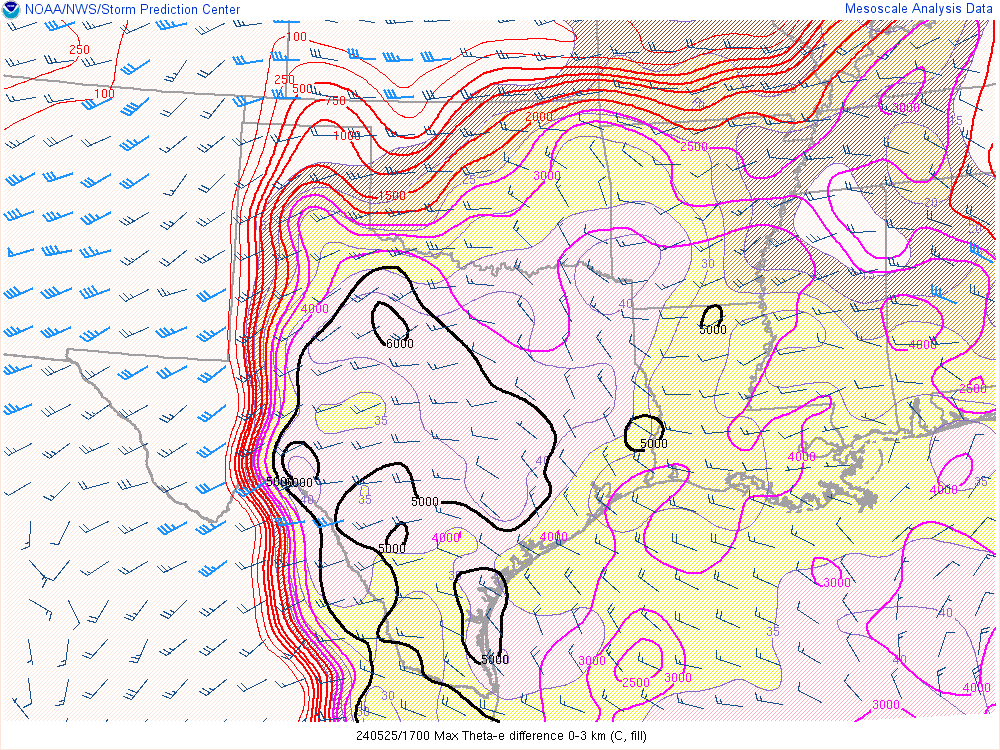
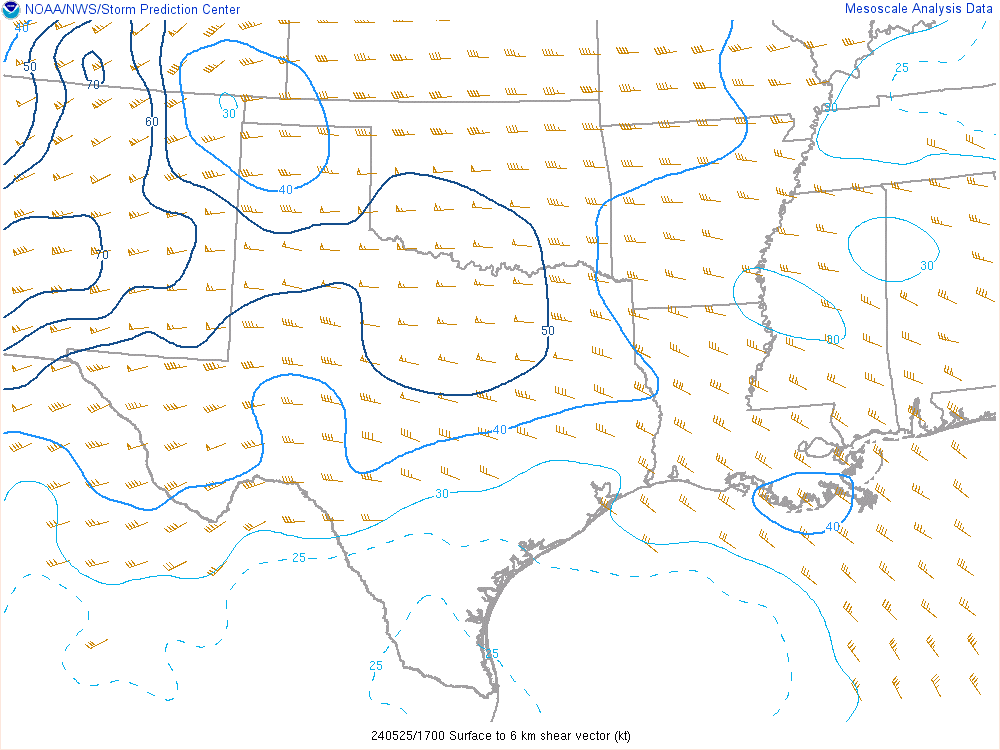
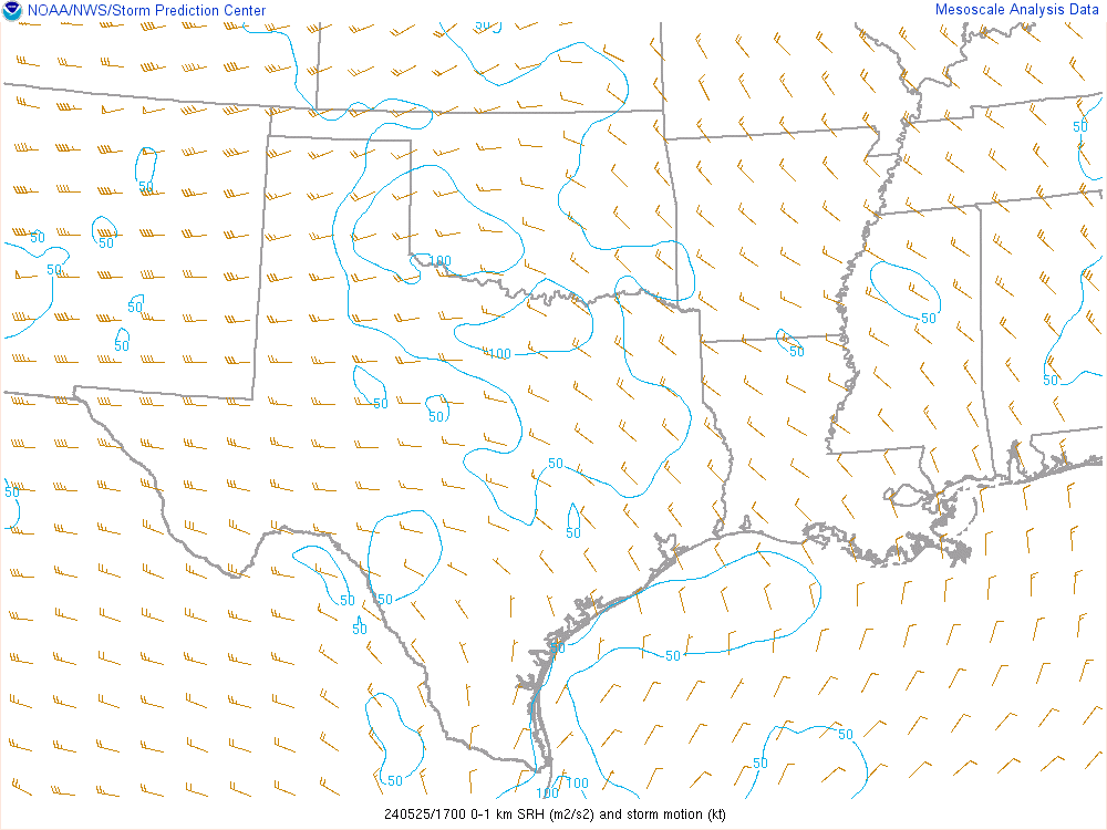
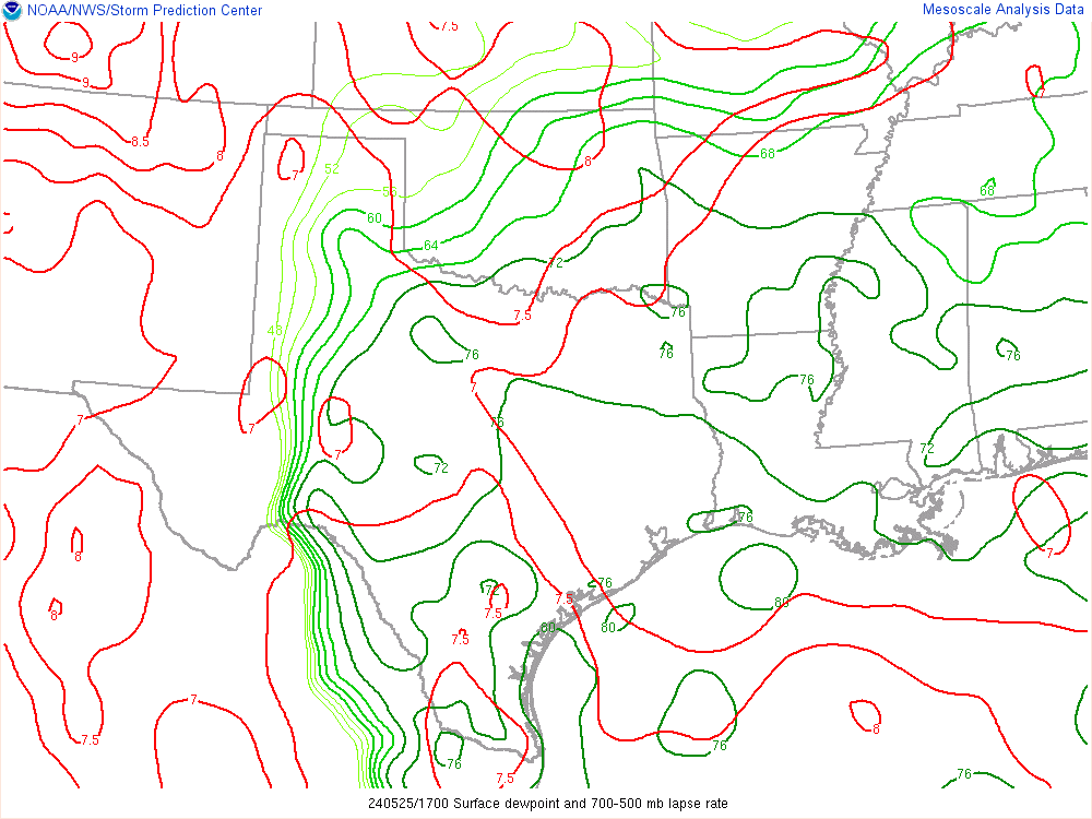
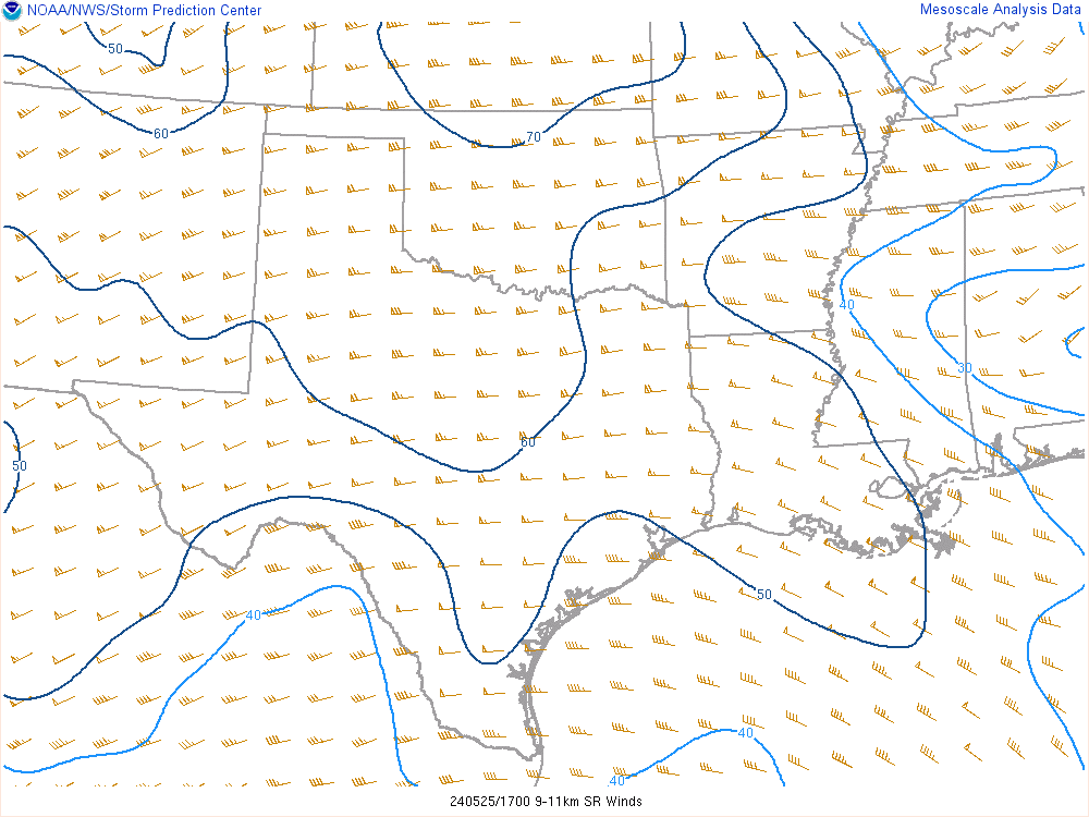
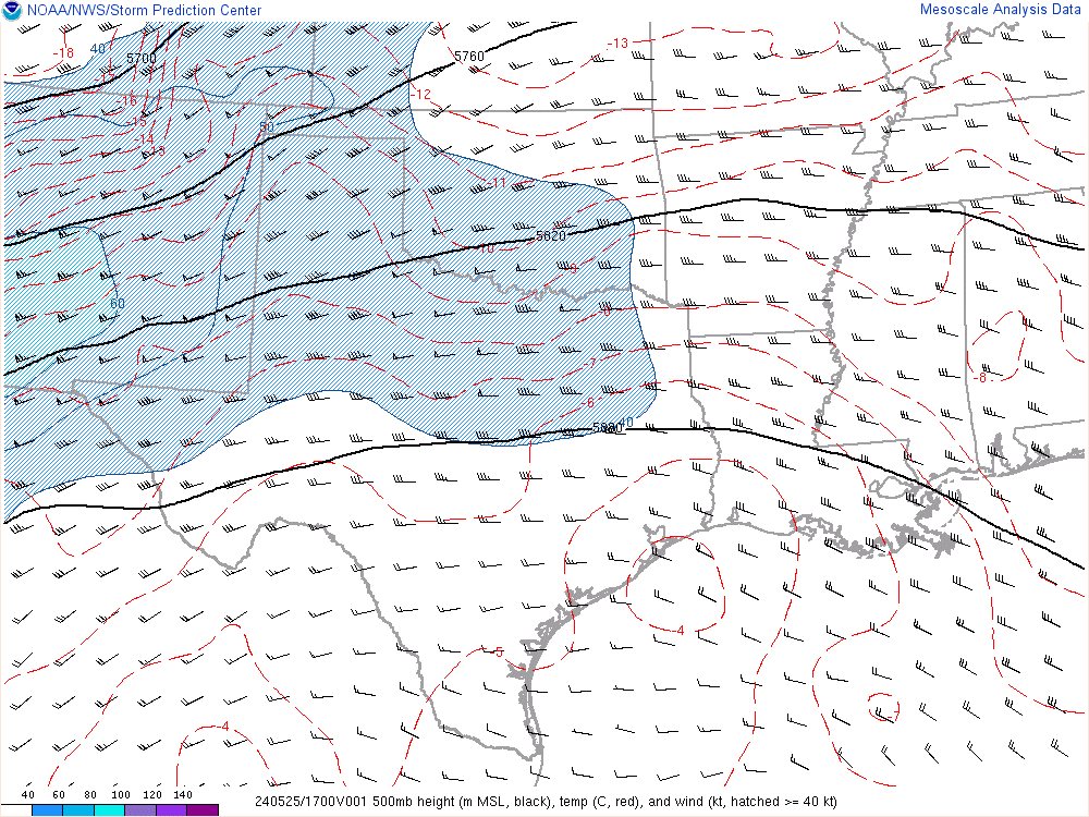
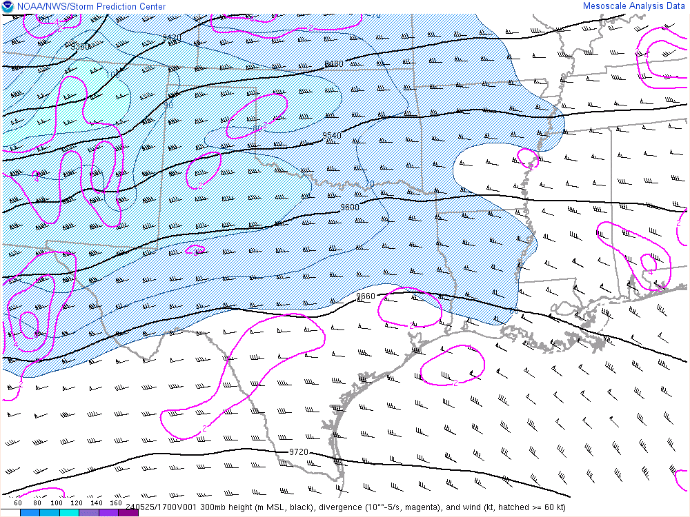
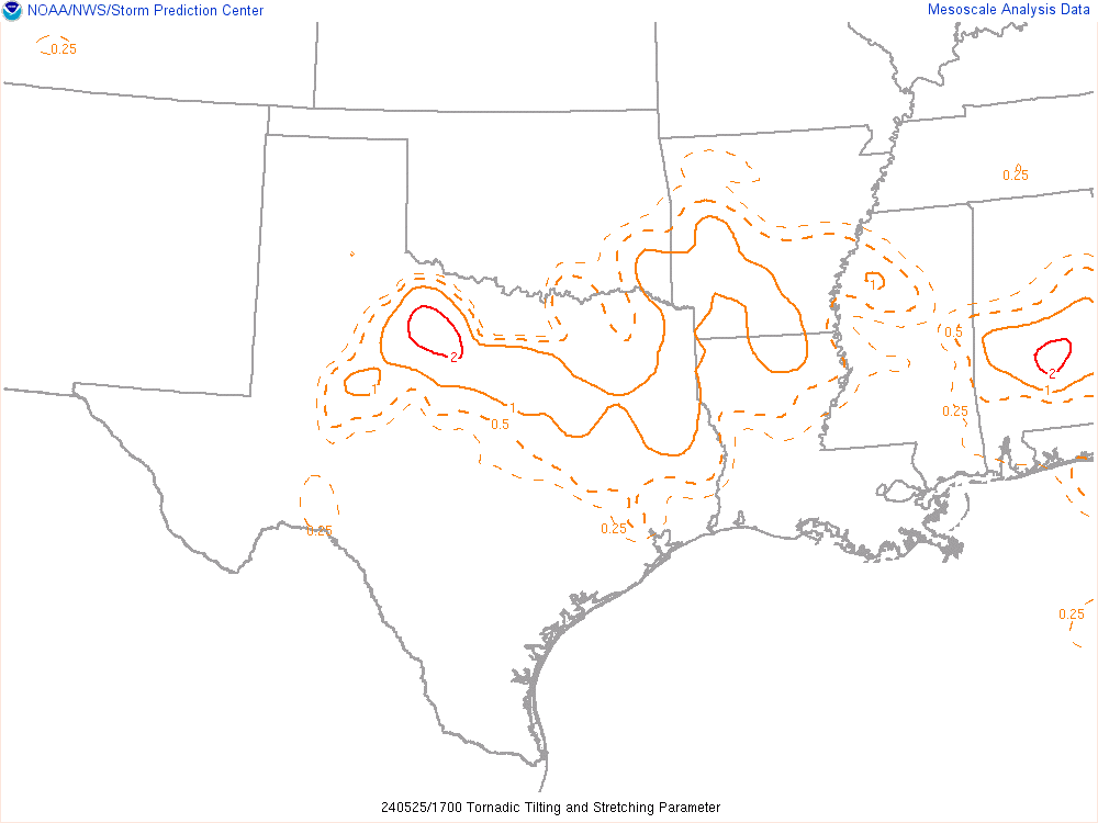
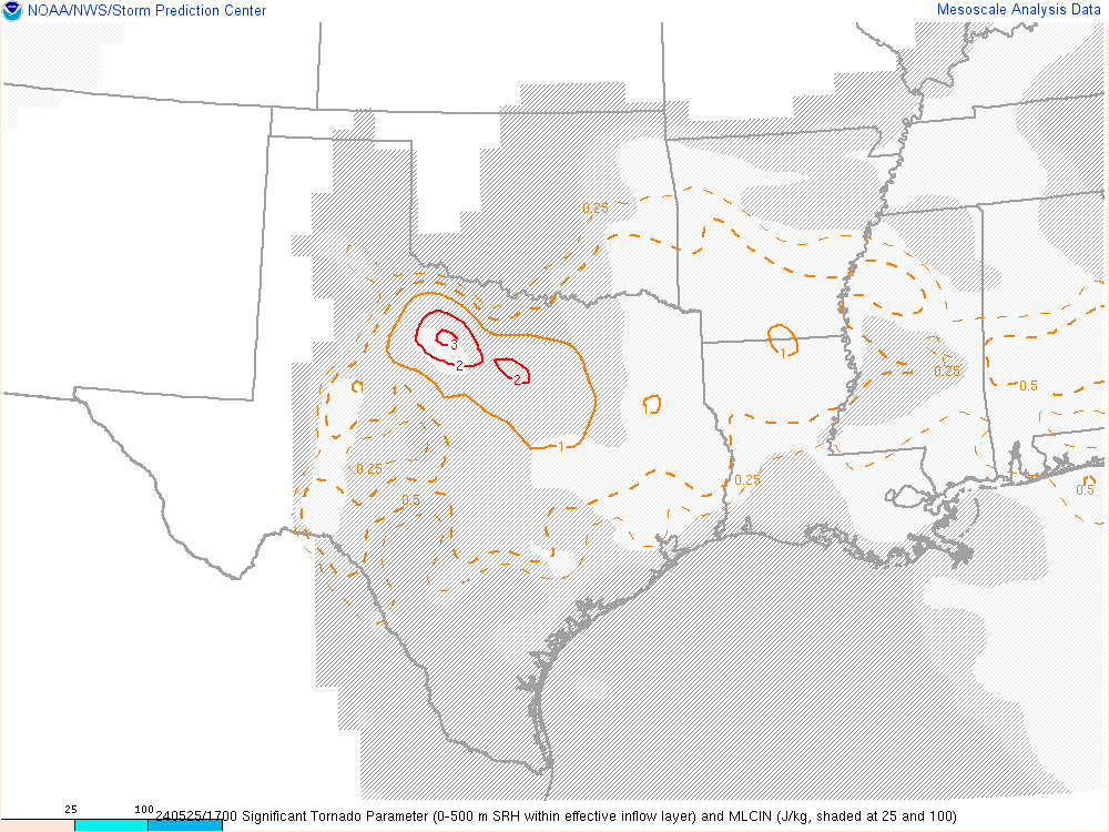
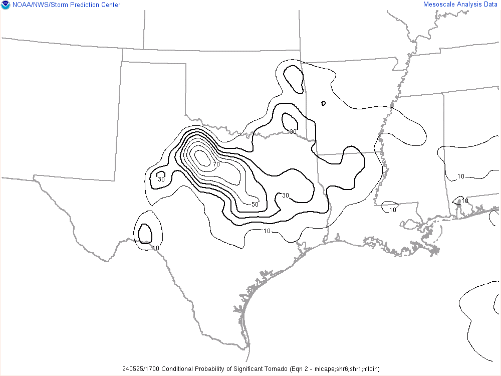
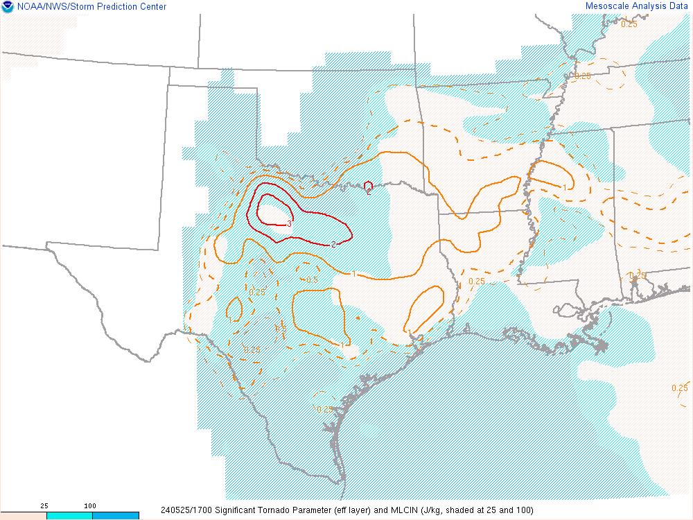
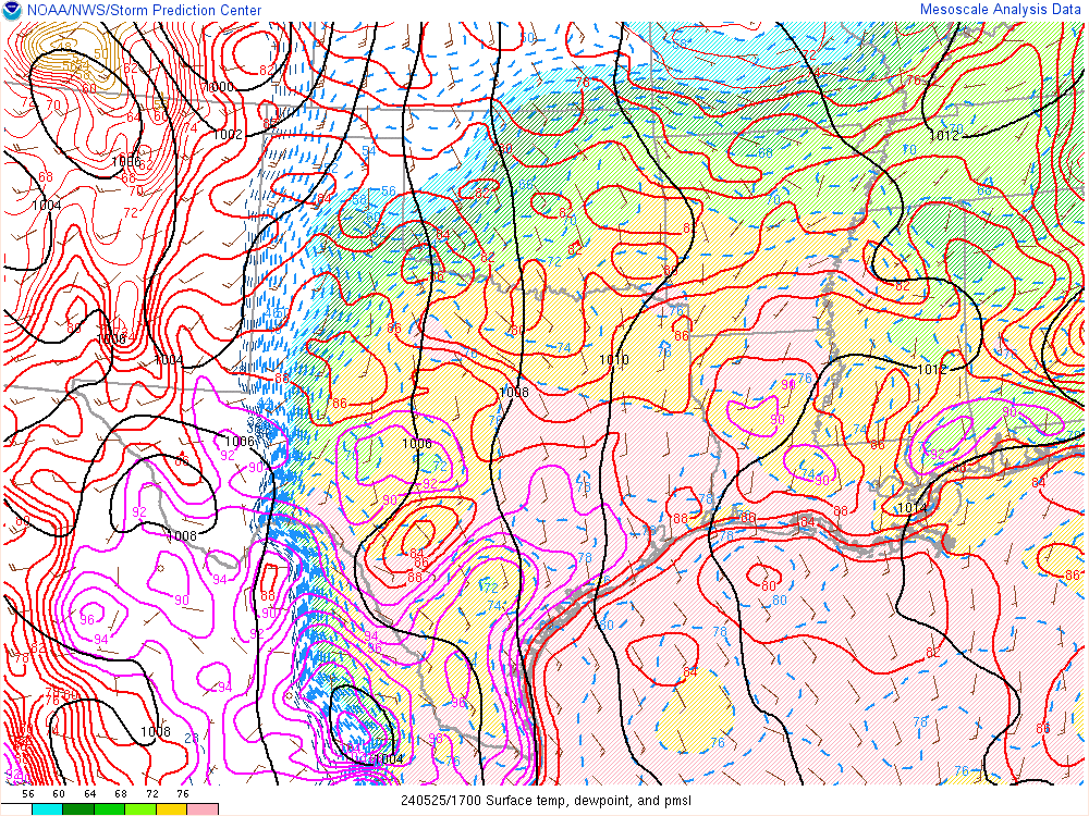
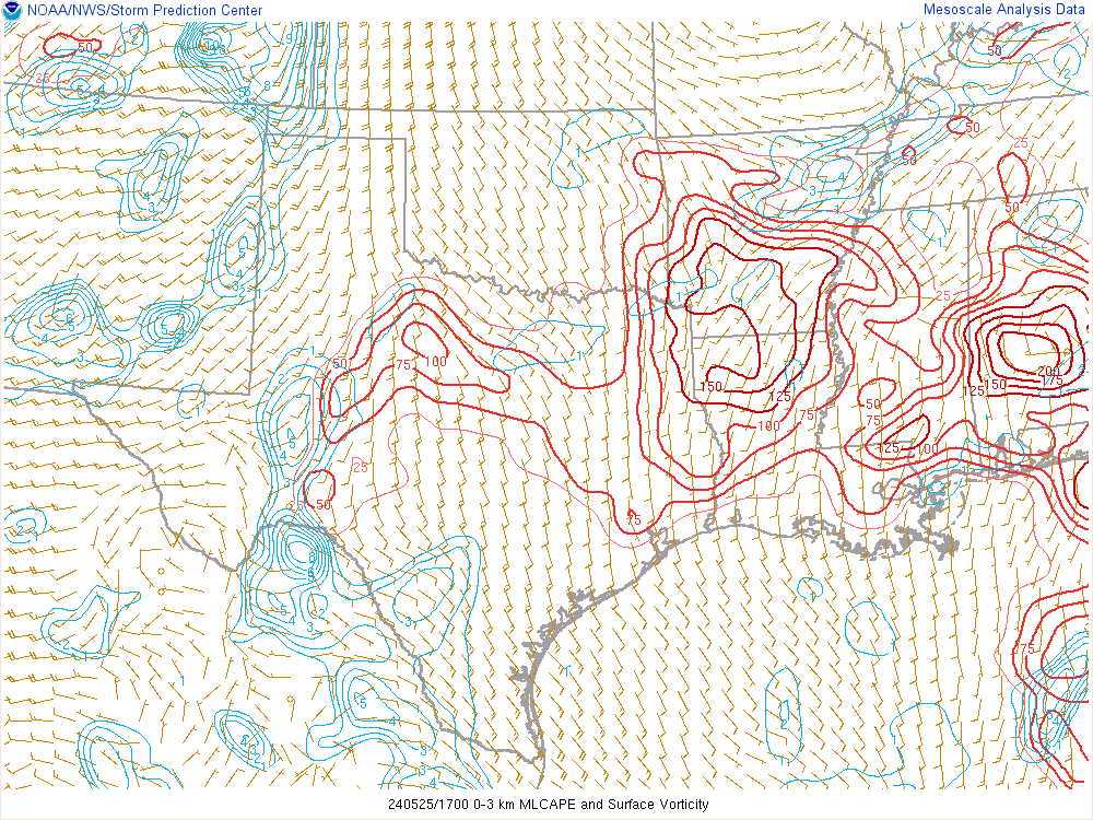
17Z SPC Mesoanalysis
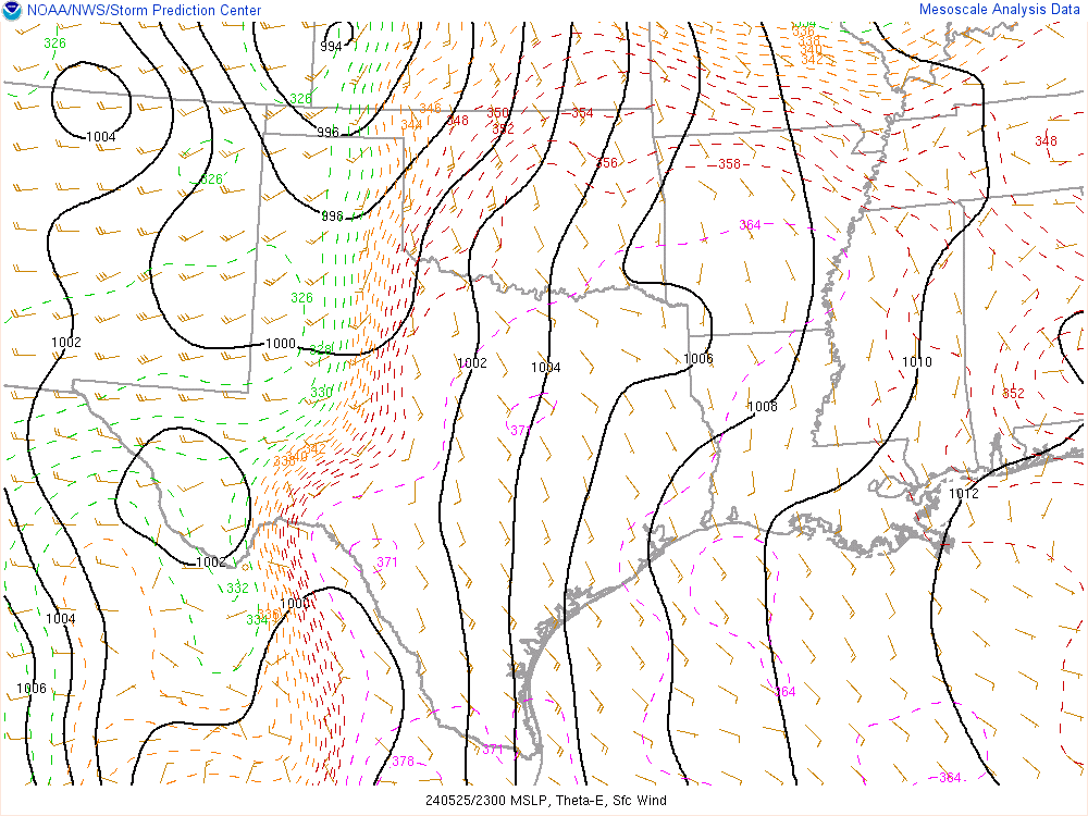
18Z Surface Hand Analysis
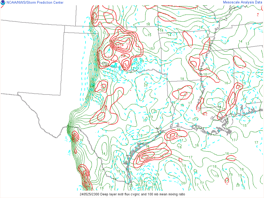
As you can see, moisture had moved further north into Oklahoma with 70 degree dewpoints well in place across Southern Oklahoma. It also seemed like Kansas play would not materialize as expected.

Departure
I decided to head out southwest along the Turnpike heading down towards Lawton. I left a little before 2pm. Some storms had fired in Texas, and appeared that it may end up being the show. The southernmost storm in Throckmorton County looked the best, but they were arranged in an arc. The other storms to the northwest also seemed viable. I took a quick stop in Lawton to evaluate options. The southernmost storm looked VERY good, a big flying screaming eagle. I was still convinced at this point that would put me out of position for a later show near OKC metro.

I ended up heading west slightly to Snyder from Lawton and sat on a side road near Manitou. As one of the main storms approached Frederick, it became tornado warned. Unfortunately, they had become extremely messy as well.

While I am pretty sure there was a tornado based upon radar data. It appears the tornado was short-lived and southwest of Frederick. I missed that tornado and found myself bailing east to I-44
In retrospect, I probably should have continued south on I-44 to the storm near Windthorst. At this point, it was producing a beautiful and photogenic tornado.
The day is over before it even started

The storms began to fall apart as we continued up the turnpike back towards OKC. You could see the clear boundary pushing away the instability on radar as it destroyed the entire warm sector. The day was over.
We exited in Chickasha and drifted north and west to check out the supercell which had fired west near Cordell. It was obvious the storm was not going to be anything significant pretty quickly.
Return Home
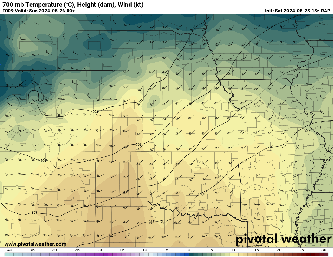
After making it as far west as Binger, I headed back home. I contemplated chasing the 26th in Missouri, but eventually made the call to skip the day for two reasons – 700mb temps were showing 12-13C in Southern Missouri. I also just drove home from the Total Solar Eclipse and was very familiar with the not-conducive-to-chasing terrain. So 700mb temps and terrain were my main factors to not chase. I’d regret that as there was very photogenic tornadoes (in terrible terrain)