Storm Chase Details
Miles Logged: 185
States Chased: OK
Largest Hail Encountered: 2.00 in.
Highest Wind Encountered: 50 MPH
Spotter Network Reports: 3
- Hail 2 miles NNW of MIDWEST CITY, OK
- Hail 2 miles ESE of MIDWEST CITY, OK
- Hail 3 miles S of NEWALLA, OK
Severe Reports: Storm Reports
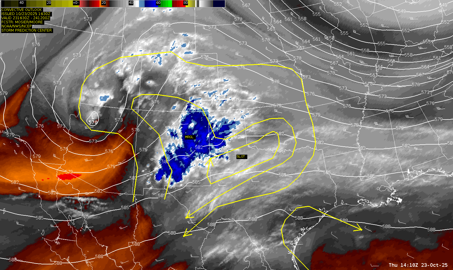
A slight risk along the Red River with a chance of supercells with all hazards. Moisture was making its way north throughout the day. Luckily this would be after work, so I had the convenience of staying home until storms started firing.

By afternoon, a reasonable stream of moisture had made it as far north as the Oklahoma City metro area. It definitely felt more humid out by mid afternoon.

Theta-E seemed to be the “cheat code” with that tongue going all the way to Oklahoma City metro. I knew we’d likely get a supercell up in the city that’d feed off that moisture.
Departing to chase locally
Around 4:30 pm a storm started to appear over Norman. I had been outside to see the updraft already and was putting my gear in the car.

I started north on I-35 before encountering a back up near Tecumseh, so I jumped off and headed east. I took Franklin east to 84th/Anderson. As the storm continued north and east, I took 84th/Anderson north.
Heading to Chickasha
The supercell continued to shrivel away as I reached I-240 and Anderson Road around 5:30. At this point, the only ‘show’ was down near the state line where a nice looking supercell was exploding. If I headed west on I-240 and down the Bailey I might make it in time before dark. Without hesitating, I headed that way, eventually stopping at the Turnpike Oasis near Chickasha to get some gas. The storm was severe warned so I continued on to the US-81 exit where I exited the turnpike and pulled over to look at data.
Heading back towards OKC
With sunset coming, I knew I wouldn’t get a lot of time on the storm before it got dark. Ultimately this kept me in Chickasha and I decided to start heading back towards Norman. Besides, a line had started blowing up west of metro.

00Z/7pm CDT Observed Sounding

Supercell in Oklahoma City Metro
I skipped the Norman spur exit and continued up I-44 towards the city. The southern end of the line was not looking great, but it had potential. I thought the storm was coming southeast, so I got off at 104th in anticipation, hoping to have it come over the airport.
A few scans later, the southern updraft on the line had fully broken away and developed a hook on radar.

At this point, I was up near Meridian and Reno looking back to the west.

I followed Reno east and witnessed some incredible cloud to ground bolts near downtown. I found a place to pull over near I-40 and Western to try and capture some of this great lightning, but of course it stopped. About 5 minutes later I’d be overtaken by rain in the hook and have to continue east on I-40.
I exited again at Eastern/MLK and realized I hadn’t gotten east far enough yet, so I thought I’d just get back on 40 east. I forgot the entrance actually drops you off on I-35 northbound, so I had to go up to NE 10th St and then east. This would put me in the core of the storm, which I’d end up just sticking with the hail portion of the storm.
Hail in Midwest City
As I continued east on 10th street I ended up stopping at the 7-11 at 10th and Air Depot to record some footage. Cars had gathered under the overhang to try and escape the hail.
I continued through Midwest City along SE15th and encountered golf balls to slightly bigger than golf balls. The storm continued to move to the southeast at this point, so I dropped south on Westminster. The rain and hail were heavy as I dropped to 240 and then eastbound to Peebly road.
I’d hang around in the area of Newalla/Bethel Acres before dropping back to state highway 9 and heading home. Not bad for a local October chase.


